Good Morning! An approaching frontal system will be the catalyst for widespread showers and storms today & tomorrow, and that may help knock the temperature down a few degrees. I’ll show you a very colorful Future Radar. What about the weekend? I’ve eased the rain chances down a bit. Storms may thin out. I have your updated weekend forecast. And, in the tropics, Kirk is showing signs of life again. Could Kirk be a problem down the road? I’ll cover it all in couple of minutes on your Wednesday morning personal weather briefing.
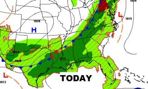
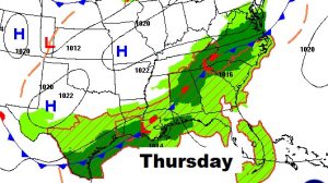
That approaching frontal system will be a big player in our forecast today and tomorrow. The front actually stalls tonight and tomorrow, acting as the focus for widespread showers and storms across the area. Locally heavy downpours.
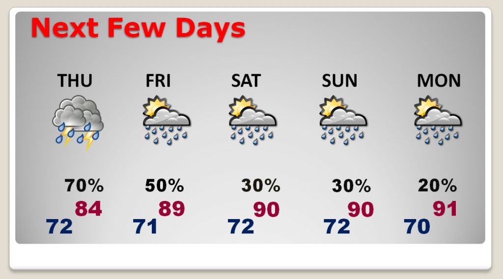
The better normal rain chances for the next two days, start to slowly ease, as the number of storms starts to slowly “thin out” Friday through Monday. Meanwhile, it gets hotter again. Near or above 90 over the weekend and into next week, again.
Invest 98-L still has the chance to tease part of the southeast coast, nut the only other feature we care about in the Tropics now is newly regenerated Tropical Storm Kirk/
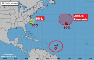
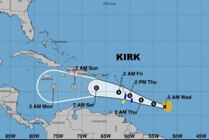
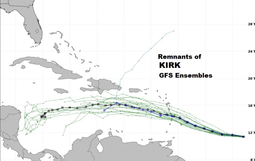
Kirk regained Tropical Storm status at 4AM CDT. Tropical Storm warnings for the Caribbean Islands. Kirk could weaken to depression status over the hostile environment in the Caribbean. Will Kirk survive its trip through the Caribbean and later become a concern in this part of the world. Maybe. Don’t know. Too far out. Models say maybe.
