Good Morning! After a record high yesterday, our temperatures takes a dramatic nosedive today, as reality sets in. I’ll update a much cooler weekend forecast, and get you set for more weather changes in the week ahead. We’re not done with this rollercoaster ride by a long shot. We’re back to the 70’s by early week followed by another sharp drop. Will there be any strong storms with that Tuesday front? We’ll look at the horizon for any signs of the return of arctic air.
From the low 80’s today, to 50’s today. A Windy dramatic temperature crash.
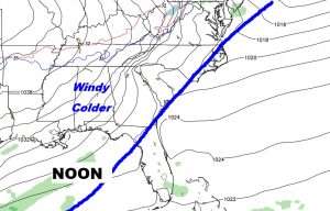
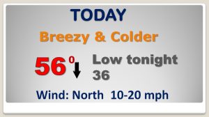
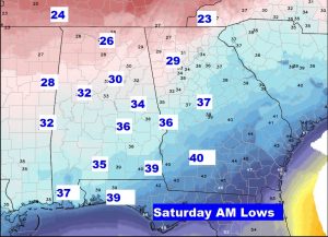
30’s by Dawn tomorrow morning. What a big change.
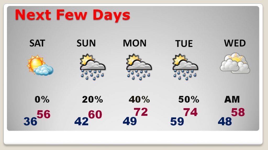
COOL weekend. Slight chance of showers Sunday. Better chance of showers Monday and Tuesday. Cooler, again, behind a cold front by Wednesday.
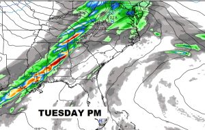
Important front Tuesday. Showers and thunderstorms, then a big cool down behind it by mid week.
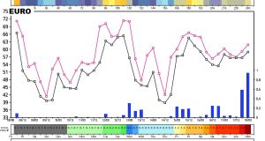
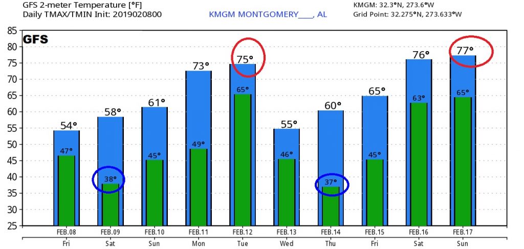
The major global models (The Euro and GFS) clearly profile the bumpy ride ahead for the next 10 days, with lots of ups and downs.
