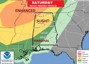
Good Morning! More rain for Alabama for the next few days. Again today, although the heaviest rain will be across the northern half of the state, some of us will see some heavy downpours. We’re in the warmer air now with 70’s today and 80+ Friday and Saturday. But, all eyes are on a Saturday evening, Saturday night storm system which could bring severe weather to the state. I have the latest on the time line and the new threat level from the Storm Prediction Center.
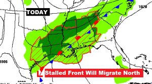
That stalled front in central Alabama will migrate northward today. We are in the warm muggy air south of the front. Scattered showers and storms today and tonight.
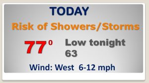
The treat of rain will be around through Sunday morning before we get a break. 80+ degrees Friday & Saturday! Severe weather threat by Saturday evening. Nice break Sunday afternoon & Monday.
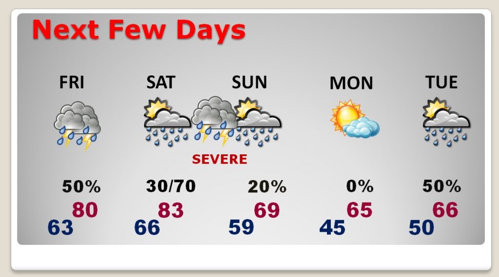
Impressive storm system will affect us with the threat of severe storms Saturday evening and Saturday night.
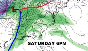
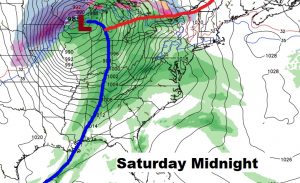
Marginal risk as far east as Montgomery Saturday evening and deep into south Alabama. Level 2 slight risk for much of west central and north Alabama. Enhanced risk northwest Alabama and into MS and TN.
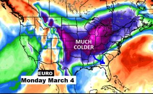
Hang on. The models continue to advertise a shot of Much Colder air arriving by about March 4 or 5.
