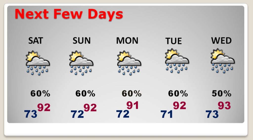
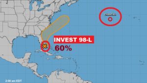
Good morning! The stage is set. There will be a generous supply of showers and storms over Alabama for the next few days, through the weekend. An approaching front will be an important player, as it interacts with deep Tropical Moisture. But, you know the drill. Some towns will profit in a big way from generous rainfall amounts. Other towns not as much. But, the odds are certainly good! Plus, the tropics are starting to come alive. I have the latest on brand new Invest 98-L, off the Southeast Coast. And, we’ll check the prospects that a front could deliver some nicer air next week.
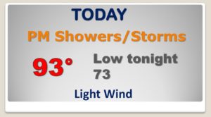
Deep Tropical moisture in place today will lead to a wealth of showers and storms in the afternoon & evening hours.
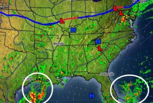
A southward moving front will be a big player over the weekend, acting as a focus for showers & storms. The front will be stuck somewhere over the state all weekend.
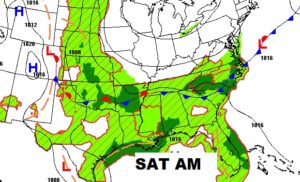
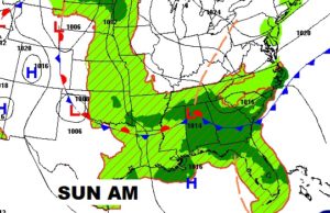
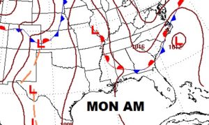
The better than normal rain chances will be around for several days. This is good news for the drought plagued parts of our state,
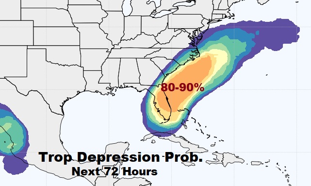
Invest 98-L near the southeast coast of Florida has a good chance on becoming a tropical depression over the weekend. Meanwhile, Tropical Depression Chantal in the central Atlantic will probably weaken to a tropical remnant low later today.
.
