Many towns had generous downpours on Friday. Again, today, tomorrow and probably Monday and Tuesday radar will be quite colorful. Showers and storms will be in plentiful supply each day. Storms will be slow movers. No severe weather is expected, but tropical downpours could bring brief street flooding in Spots. This should go a long way to putting a dent in Alabama’s growing drought. Later next week, a rare front will bring humidity relief by mid to late week. More below….
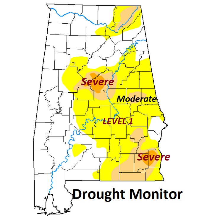
Here’s the latest Drought Monitor Map. The drought, unfortunately continues to spread out.
TODAY: Sun/cloud mix. High around 93. Slow-moving showers and storms will be scattered to numerous this afternoon and this evening. Many towns will benefit. A few towns will get skipped. Lows tonight 73.
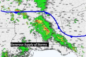
A frontal system draped across north Alabama will be the focus for the better rain chance today, tomorrow and Monday.
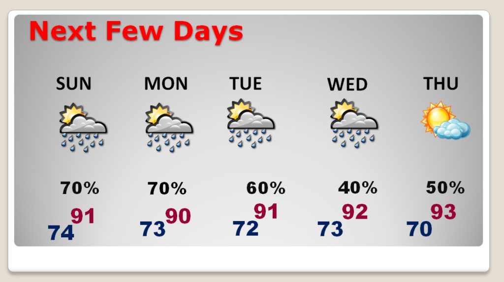
NEXT FEW DAYS: The better rain chance will be around for a few days, at least through Tuesday. Then, on Wednesday, a frontal system pushes through the state, delivering humidity relief buy Wednesday night and into late week, just before the start of the big Labor Day weekend.
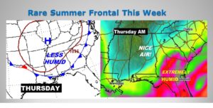
FRONTAL RELIEF THIS WEEK: How would you like some humidity relief. The models continue very bullish on this idea. The Nice air will arrive sometime Wednesday PM. Much lower humidity will be in place on Thursday. The relief may not last long. Humidity could be back in place over the holiday weekend.
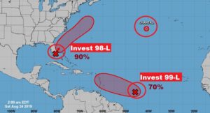
TROPICS: All of a sudden the Atlantic basin has come alive, as it frequently does in late August. Close in, inland over south Florida is Invest 99-L. Once this system gets off the coast, over the warm Gulf stream waters on Sunday, this system will likely become a Depression, and eventually, very likely Tropical Storm Dorian. This system should parallel in the southeast coast as it moves northeast toward the Carolinas. Air Force RECON is scheduled to investigate this system by early this afternoon.
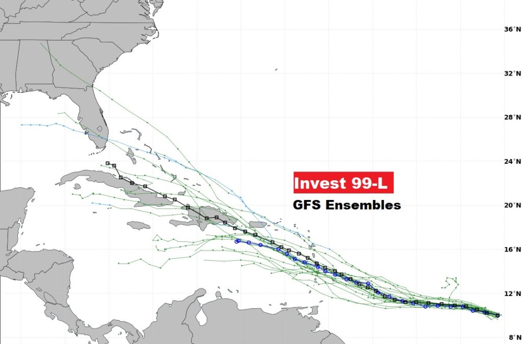
Elsewhere, in the topical Atlantic, NHC says Invest 99-L now has a high 70% of becoming a depression or storm in the next 5 days. The long term future of this system needs to be watched. Some of the long range models like the idea of this system into the Gulkf of Mexico in about a week.
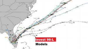
Here’s the spaghetti models on Invest 98-L. Most models continue to keep this system off the SE coast.
The long term future of Invest 99-L, if it can survive could be interesting. Maybe a Gulf of Mexico player in a week?
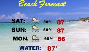
BEACH FORECAST: No mater where you go along the Gulf Coast this weekend, showers and storms will be roaming around from tine to time. Moderate Rip Current Risk continues.
– -.
I will have another Blog update tomorrow morning. Have a nice weekend. Stay out of the heat as much as you can.
-Rich
