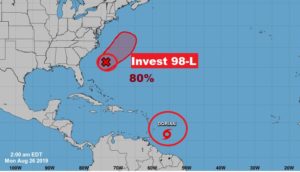
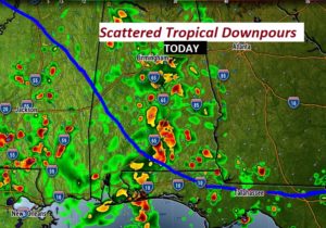
Good morning! We have much to discuss today. Slow-moving tropical downpours will be roaming around today and tomorrow. A mid-week front will deliver a brief shot of some nicer air with lower humidity later in the week. That will bring a nice but short-lived break. We’ll look ahead to your Labor Weekend forecast. And we’re still tracking Tropical Storm Dorian and another system off the US coast which could become a depression today.
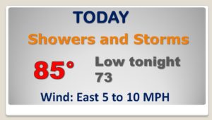
Copious amounts of tropical moisture is in place and the stage is set for some slow moving showers and storms with heavy downpours today and tomorrow.
A frontal system on Wednesday will deliver a brief humidity freak for Wednesday night and Thursday before humidity returns for the Labor Day weekend.
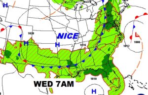
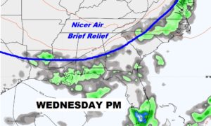
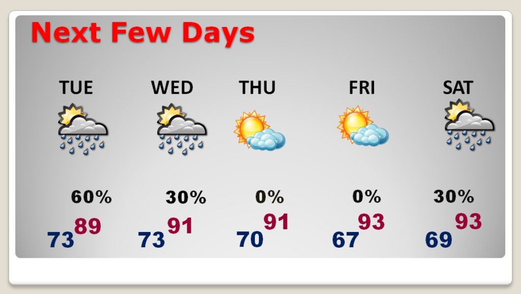
Good rain chance for Tuesday and part of Wednesday before the front briefly delivers some nice air, most noticeable on Thursday. No rain in the forecast Thursday and Friday….but showers and storms return for the Labor Day Weekend.
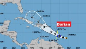
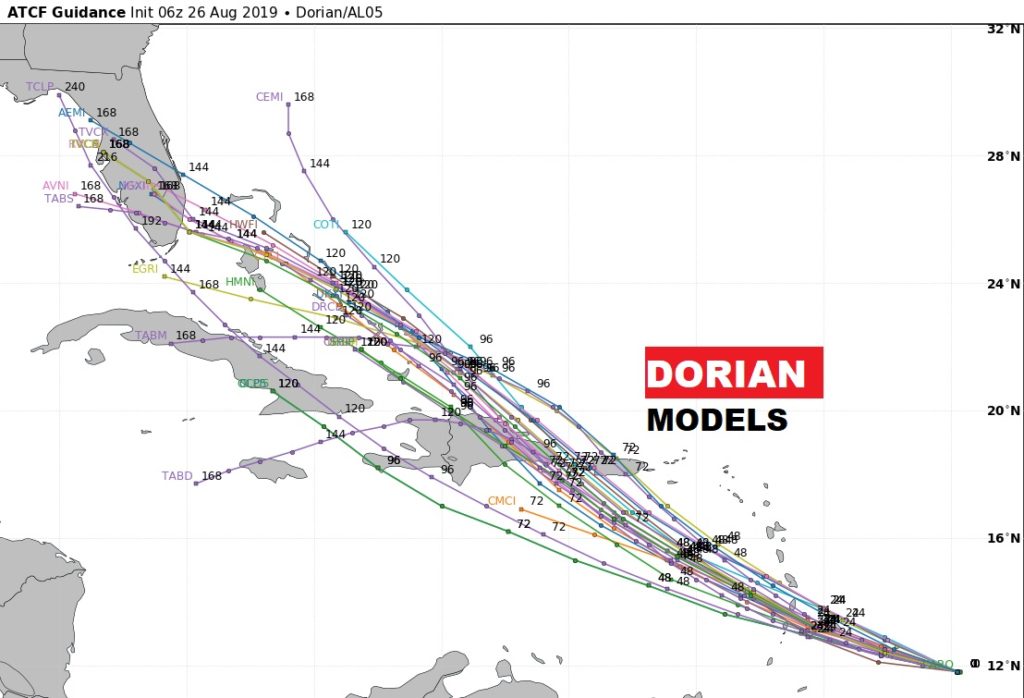
Tropical Storm Dorian could briefly become a Hurricane later this week. Beyond Hispaniola we’ll have to monitor Dorian’s future possible track in the Bahamas and perhaps the Southeast US over the Labor Day Weekend.
Invest 98-L could possibly become a Depression off the SE US coast later today. Air Force RECON will visit the system today.
