Good morning! More intense heat today! Heat index will be in triple digits, but just below heat index criteria. There were a few healthy storms roaming around yesterday. Some put on quite a show. There were a few warnings. Today storms will be few and far between. When can we expect relief? We have our eyes on that third weekend of September.
TODAY: A HOT day. High in the upper 90’s again. Heat index 102 to 105. Widely scattered, random storms. Tonight’s low 73.
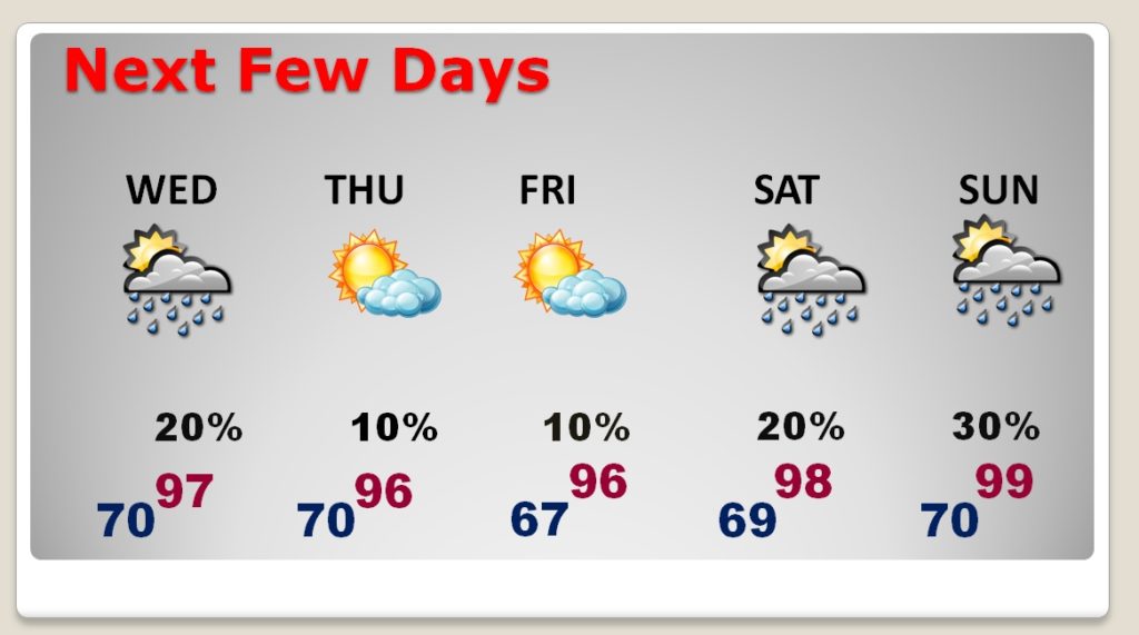
NEXT FEW DAYS: Still hot. Upper 90’s through Thursday. Mid 90’s Friday. A little lower over the weekend. Spotty storms.

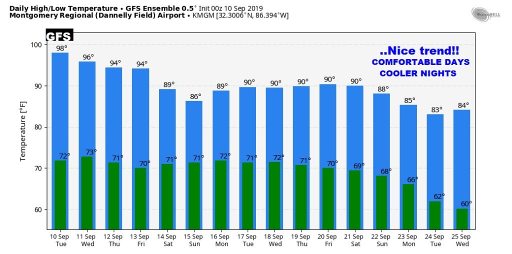
LONGER RANGE: For many days I have been teasing you. The third weekend in September offers big hope for nicer air, lower humidity and cooler nights.

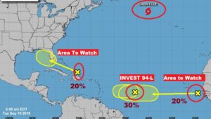
THE TROPICS: First, we don’t care about Gabrielle. A tropical wave coming into the Bahamas needs to be watched as it moves northwest. In the Gulf of Mexico it could perhaps develop into a Tropical Low. The EURO model indicates a 50-60% chance. Meanwhile there is Invest 94-L and another Area to Watch.

—
Today, I am still at the NWA Weather Conference in Huntsville.
Tomorrow we are back to normal. I will have a complete video update online tomorrow morning at 4:45AM. Have a great Day today!
–Rich
