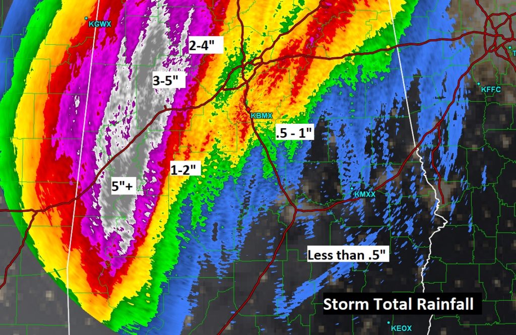
Parts of Alabama had record flooding rainfall yesterday. For some of you, rain has just been a rumor. There hasn’t been much rain at all, so far, in east and southeast Alabama with this storm system. Look at Storm Total Rainfall so far.
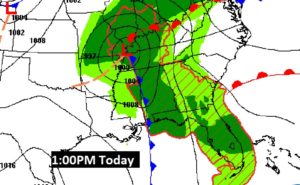
All of that will change today as a cold front crosses the state, with a line of strong, potentially severe thunderstorms ahead of the front. Yesterday there were at least 6 tornadoes in west and SW Alabama, causing lots of damage. Here’s the map set up at 1:00PM, showing the front on the AL/MS line, moving eastward.
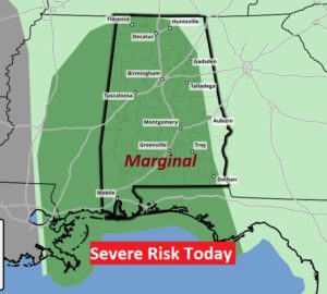
Marginal Severe Weather Risk today for most of our state. Damaging wind gusts are the main threat, but, like yesterday, tornadoes can’t be ruled out. Our weather app will keep you on top of the action.
This map from NWS Birmingham helps with the potential timing.
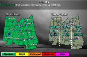
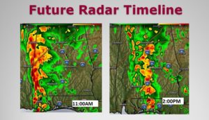
TODAY: Windy. Wind Advisory in effect. Southeast wind 10 to 15 mph, with gusts as high as 30 mph. Risk of showers just about anytime, but the greatest risk of thunderstorms will be this afternoon as the front moves through. Humid. Today’s high near 80. Future radar shows the progression of the main line of storms from west Alabama at 11AM to central Alabama by 2PM. The line will be in the eastern counties by 4PM.
.
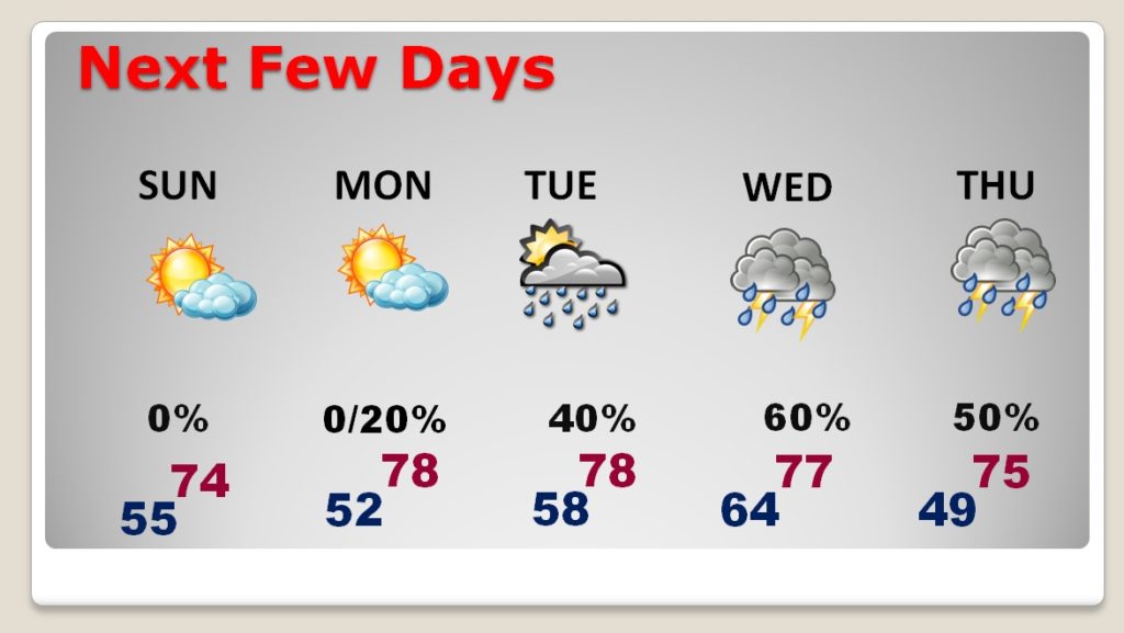
NEXT FEW DAYS: Nice weather will follow the front for a couple of days. Sunday will start cloudy and then become sunny. Sunday and Monday will be nice. Showers return Tuesday and Wednesday ahead of the next strong front. Much cooler air begins to move in on Halloween. It’s too early to say if there will be a severe weather risk with the next front.
—
Stay weather aware today. Make sure you have our weather app downloaded on your phone. It will instantly alert you to severe weather warnings for your location. (Go to the App store and search Rich Thomas Weather) I will have another Blog update tomorrow morning. Have a nice weekend!
-Rich
