Good Morning! Two cold front will pass through Alabama in the next 24 hours. The first front will deliver a round of showers & storms for the southeast half of the state today. The second front will deliver some much colder air by Saturday. On today’s video, I’ll break down the details. Who will see the most rain? How cold is the air on the way? And, we’ll look ahead. The search for the next Arctic Express continues. Will it reach Alabama, or stop?
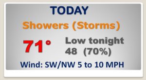
Two Cold Fronts will effect Alabama today. Front 1 will deliver showers & storms to the southeast half of the state. Cold front number two delivers more showers tonight, then much colder air behind it tomorrow.
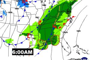
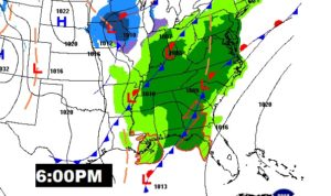
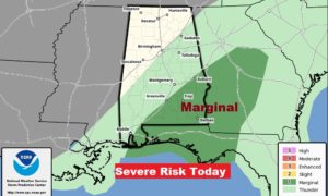
In that warm & humid air ahead of Front 1, SPC has a Marginal Severe Risk for today. Damaging wind gusts are possible. A brief tornado can not be ruled out.
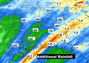
Some towns, particularly in SE Alabama could see 1.5 to 2.5 inches in some cases in some heavy downpours today.
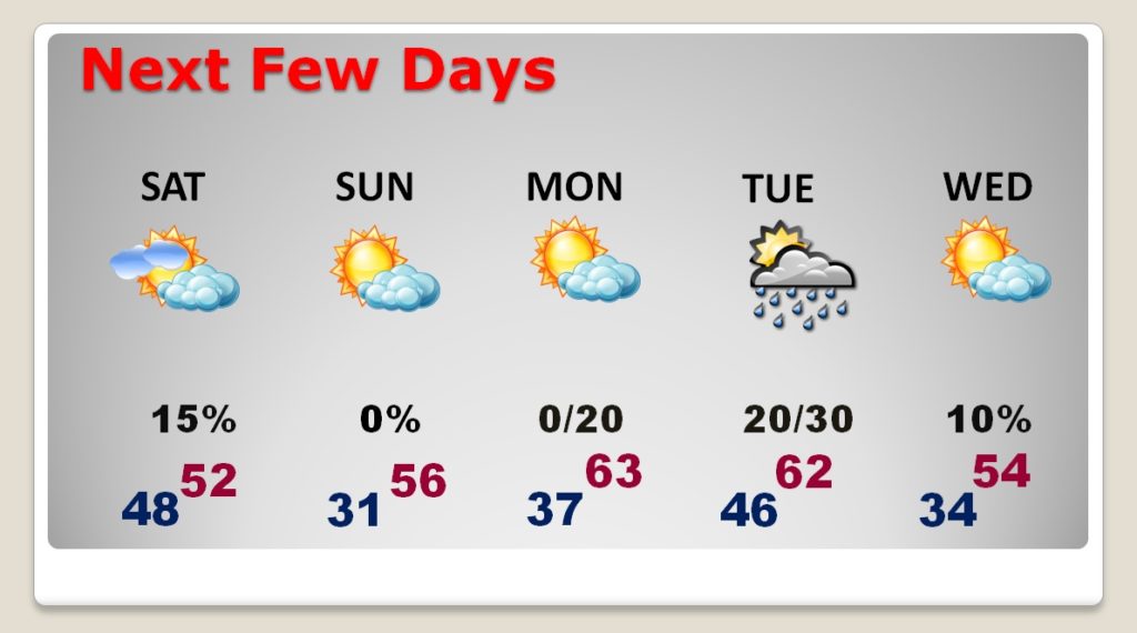
Saturday will be windy & much colder. We’ll fall to freezing or below Sunday AM. Warmer Monday. Chance of showers Tuesday. Colder Wednesday.
