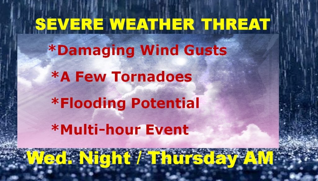
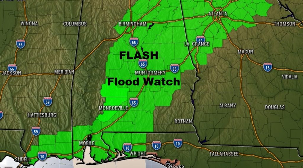
…A Significant Storm System will affect our state tonight and well into Thursday. Severe Weather Threat, including damaging wind gusts and a few tornadoes. Excessive Rainfall -Flash Flood Threat. Unfortunately, this will be a multi-hour event, and unfortunately the threat will continue through the overnight hours and through at least the morning hours on Thursday. On this video I will do my very best, to sort out the messy details of this significant and slow moving storm system. We’ll also beyond. What happens after the storm system?
Much of the state in the Level Two severe weather threat. Begins about 4 in the far west. Continues through the overnight hours, shifting into SE Alabama tomorrow morning. Damaging wind gusts, tornado risk, and flash flood risk.
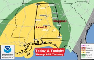
The slow movement of the system and the complexity of the situation warrants an extremely loing time window from 4PM in the far west to 9AM Thursday in the far southeast.
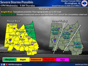
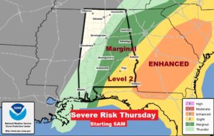
Tomorrow morning at 6AM, the threat continues for the eastern half of Alabama and particularly SE Alabama. An Enhanced Risk covers parts of South Carolina, much of Georgia down to the Dothan area. Stronger tornado risk…
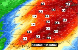
Rainfall amounts could be rather excessive. Certainly 2-4″ but some places likely more than that.
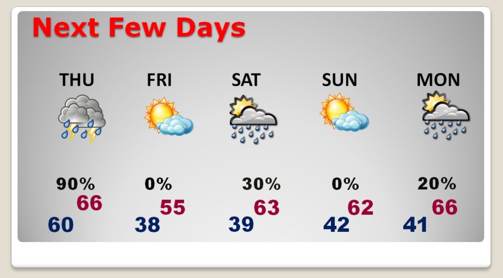
Breezy and much cooler Friday. Small shower threat Saturday. Nice day Sunday..
