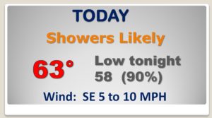
Good Morning! Rain is not what hear about on a Monday. Especially, after a month which has been so extremely wet. Carry the umbrella… An approaching storm system/front will make for a wet day today and tonight. The first Front delivers cooler air by late Tuesday. A second, Arctic front arrives during the day Wednesday, followed by another big Temperature Plunge. And, it looks like another chunk of very chilly air should arrive by Friday night/Saturday. I’ll break down the details of the week ahead, and I’ll show you how much rain could fall.
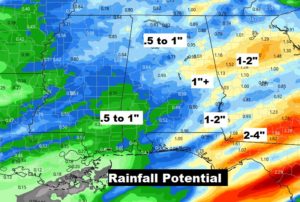
WET times today and tonight. No Severe Weather expected, but locally heavy downpours in spots.
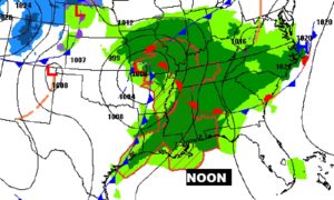
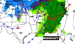
Rainfall amounts could easily reach the 1-2 inch range across the eastern half of the state east of I-65.
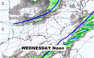
Cold Front number two delivers a shot of arctic air, which will arrive daytime Wednesday. COLD Wednesday night and a Raw day Thursday. Sub-freezing Thursday night.
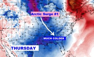
Coldest nights will be Wednesday and Thursday night. Then again Saturday morning. Coldest day Thursday. Very Chilly Saturday.
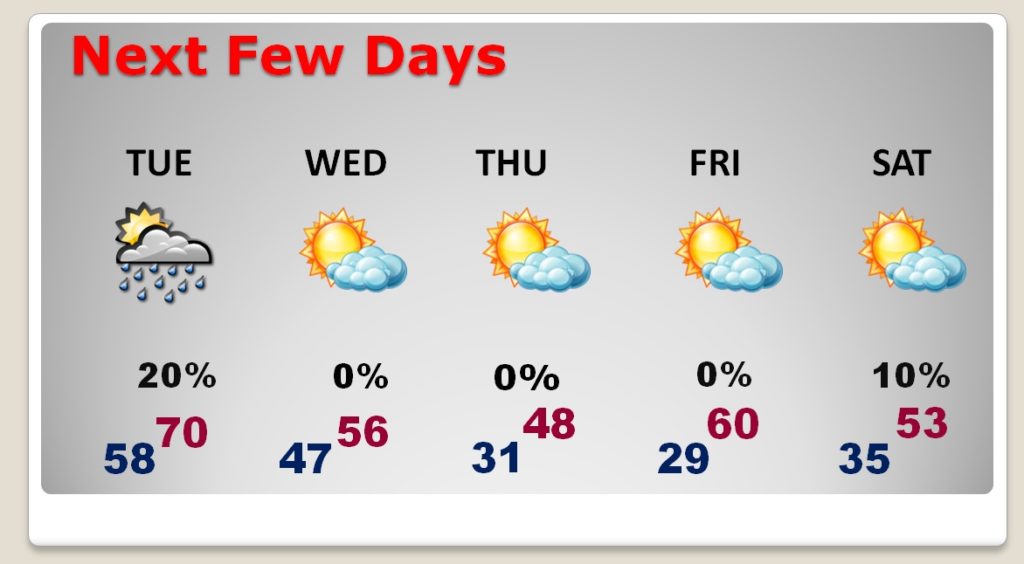
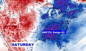
Arctic Air surge number two arrives Friday night into Saturday.
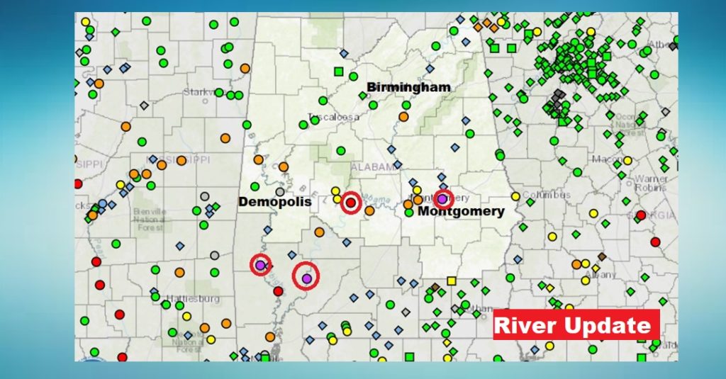
Many rivers are still above flood stage. The red dots are moderate flood stage. Purple indicates major flooding.
