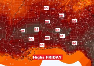
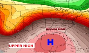
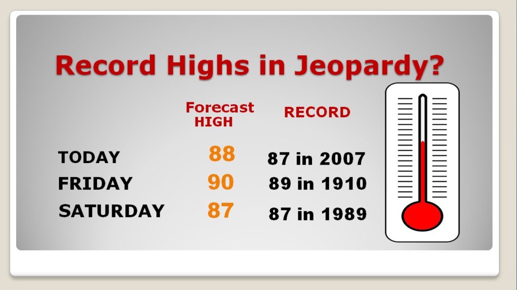
Good Morning! Our remarkable string of warm March days continues. In fact, we are likely to reach Record High territory for the next three days. It will feel more like Late May or early June. A massive Upper High will keep us high and dry till at least Saturday. We’ll look ahead to the next Front which will bring in the next batch of showers and thunderstorms over the weekend. And, I’ll show you a storm system early next week which could possibly bring some strong to severe storms to the state.
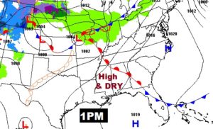
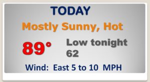
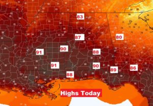
AMAZING high temperatures next three days as a massive ridge of high pressure builds above us at 20,000 feet.
Risk of showers and thunderstorms returns Saturday night into Sunday morning. More showers and maybe some strong storms by Tuesday.
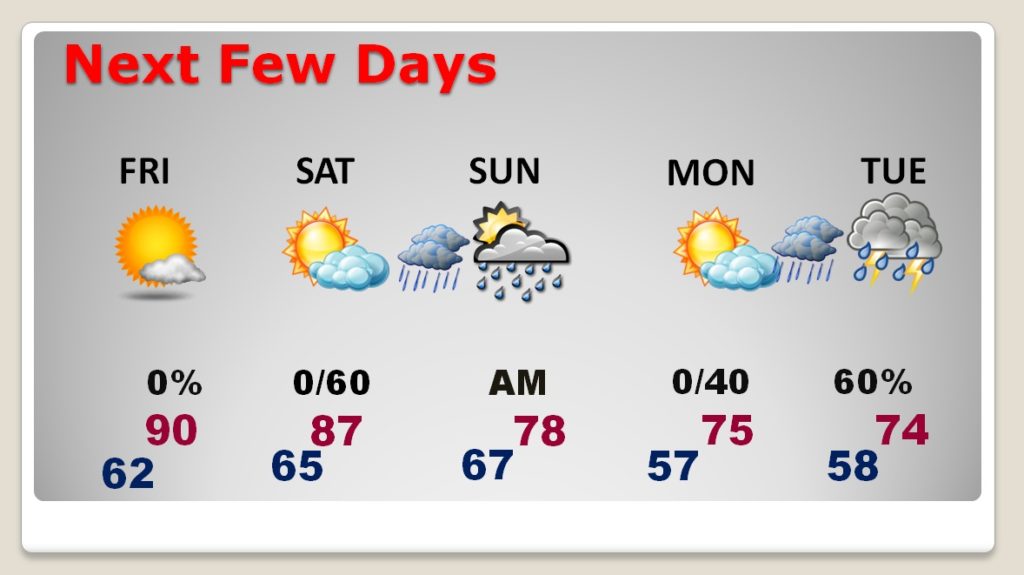
RECORD HIGHS are a good bet for the next three days.
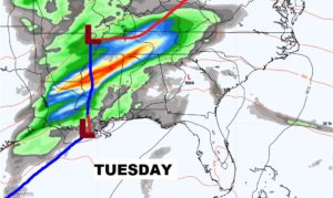
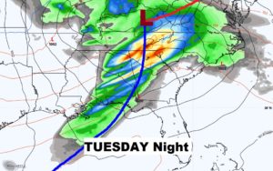
I have my eye on this Tuesday storm system. Could there be some strong to severe storms? We need to monitor this one.
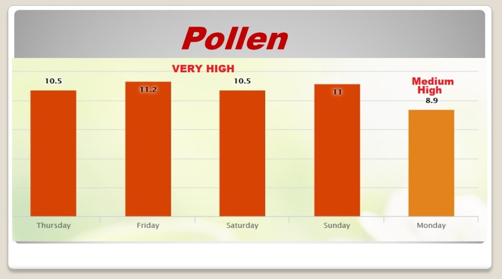
The Pollen Count is almost off the scale HIGH through at least Saturday…
