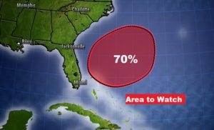
Good Morning! Get out the garden hose. The rainfall prospects for the next few days is not looking good. Meanwhile, the major warming trend continues. It will start to feel more and more like summer. Could we threaten any records over the weekend? I’ll show you the rainfall potential for the next 7 to 10 days. Off the Southeast US coast, it’s now likely that we could see a pre-season Depression or maybe even Tropical Storm Arthur.
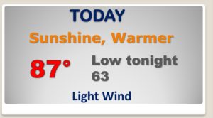
The warming trend continues today as we head for the upper 80’s. The nights are getting milder, too.
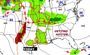
As the upper ridge builds and gets stronger…each day gets a little hotter. Rain chances are only about 10% each day through the weekend.
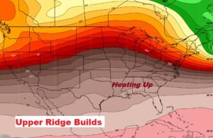
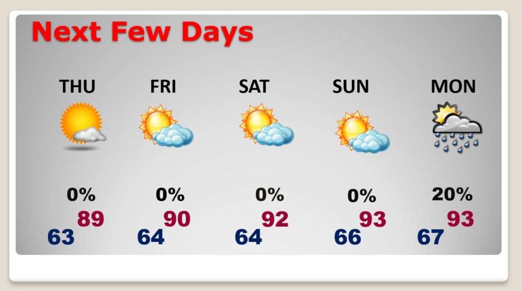
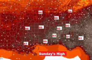
Could we threaten a record high Sunday? The record is 93 from 1995. We’ll be close.
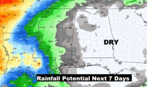
Rain prospects for the next 7 days and beyond are not looking good…at all. Rain chances are not zero, though.
It is now likely that we will see a sub-tropical depression or tropical storm form in the Atlantic northeast of the Bahamas, over the weekened.
