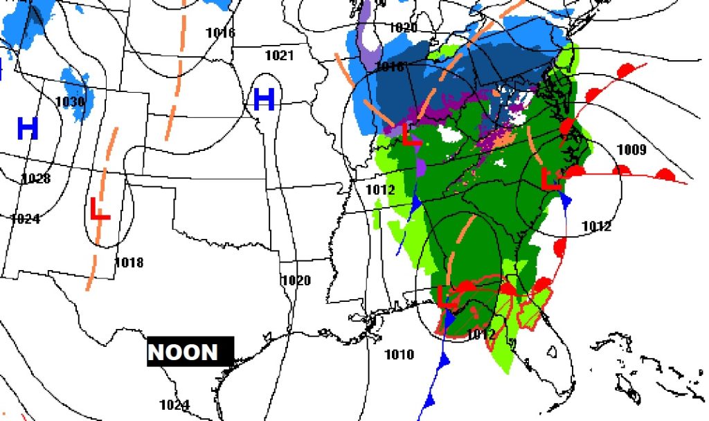
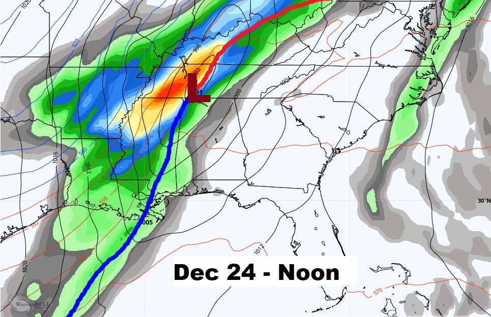
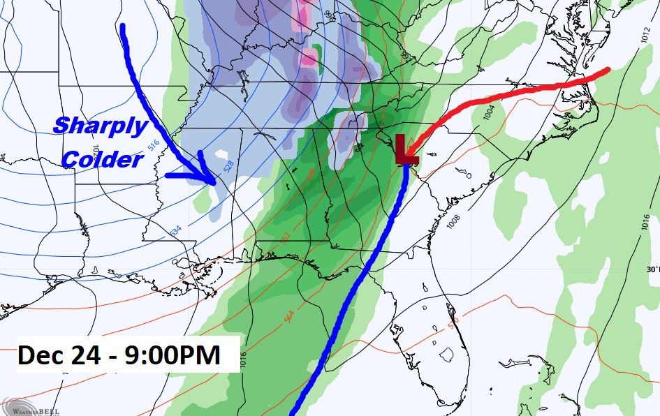
Good Morning! Rain will dominate much of the morning hours, but by early afternoon most of the rain should be out of the state. Expect another shot of colder air behind this storm system. The active pattern continues. Looks like another storm system will bring in rain over the weekend. And, it still looks like we could be dealing a “big deal” storm system by Christmas Eve. Interesting times ahead in the next two weeks. I’ll dissect the details on this video.
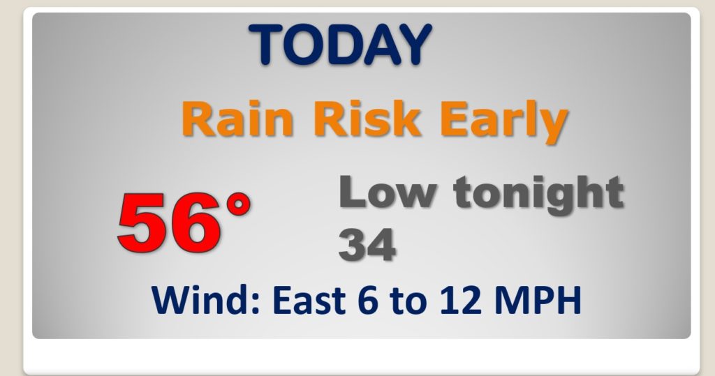
Rain departs early today. (before lunchtime) Colder tonight.
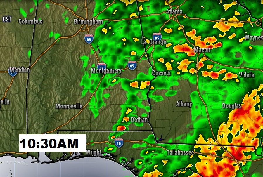
Future radar shows the back edge of the rain near the I-65 corridor by about 10:30AM. Rain moves out of the state into Georgia by early afternoon.
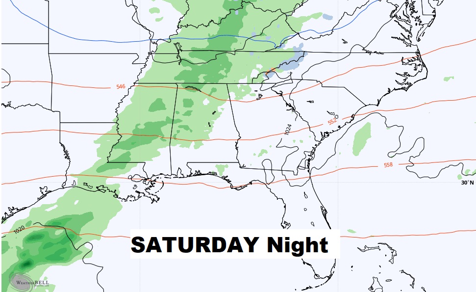
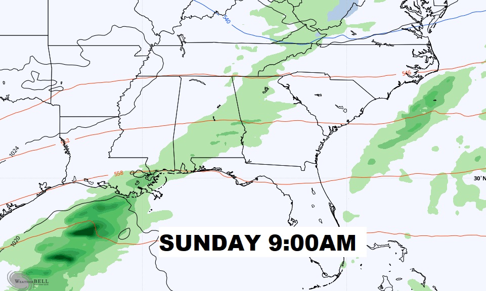
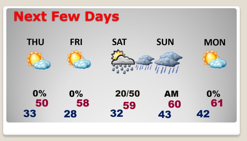
Another storm system this weekend. Chance of rain by Saturday evening into Sunday.
Windy & Cold Thursday. A raw, brisk day. Coldest morning Friday morning, in the 20’s Dry Friday. Chance of rain by Saturday evening into Sunday.
Christmas Eve “Big Deal” storm system? GFS shows rain sweeping into the state, on Christmas Eve. Significant storm system. Will there be any thunderstorms? Too early to say. Looks like dramatically colder air follows the front. Could be windy and much colder when Santa arrives. Snow flurries perhaps across NW Alabama? Stay tuned. Christmas day would be MUCH colder if this scenario plays out.

