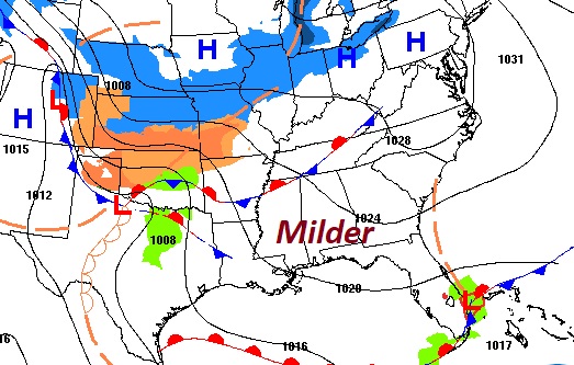
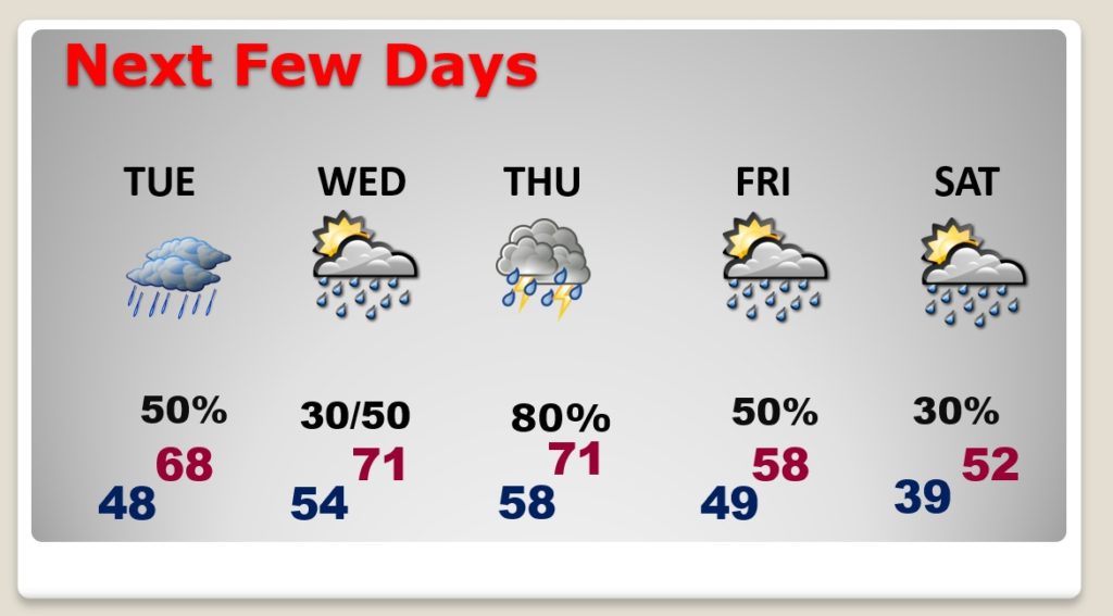
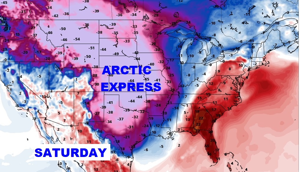
Good Morning! The news is good as we start this new week. Temperatures will be little warmer each day through Thursday. Scattered showers are back tomorrow, and a second storm system will bring showers & storms on Thursday. But, will Alabama have to deal with any of that extreme arctic air? I’ll show what the models are indicating. It looks like we may get at least a little “Arctic Sample”.
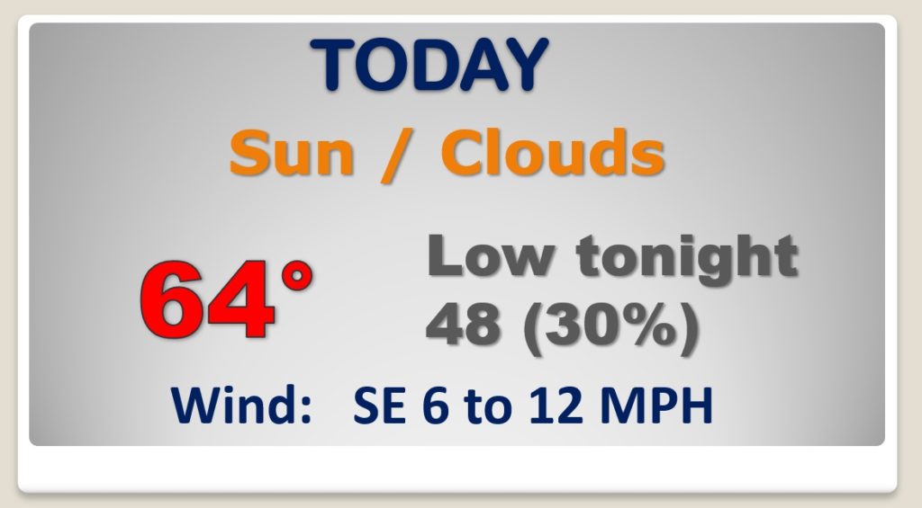
We are in-between storm systems. Today we’ll warm into the 60’s. Nice Day. Scattered showers late tonight.
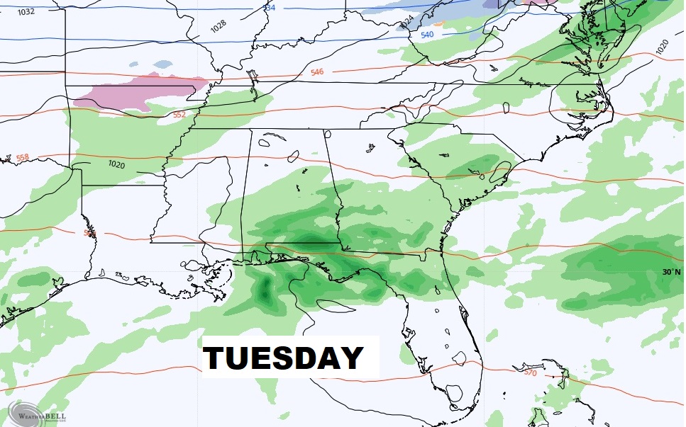
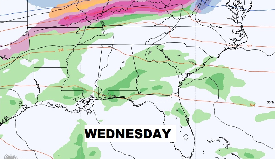
Scattered showers at times Tuesday/Wednesday. Warmer. Low 70’s by Wednesday.
The main event this week is Thursday. Showers and thunderstorms. Too early to say if we’ll see any stronger storms.
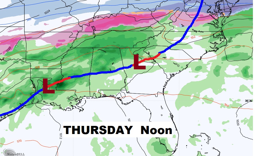
Significant warming trend this week through Thursday. Scattered showers Tuesday and Wednesday. Showers and thunderstorms likely Thursday. Cooler than colder Friday and Saturday. Risk of showers.
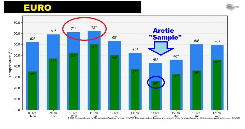
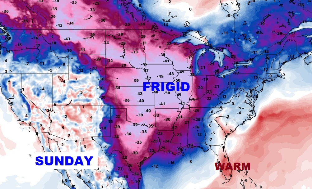
Most of the major models now indicate that the core of the extreme arctic air will stay well west and northwest of Alabama. It does, appear that we will at least “sample” some of the colder air over Valentine’s weekend.
EURO model Raw temperature guidance suggesting quite a temperature slide from low 70’s Thursday…to lows in the mid 20’s over the weekend. (wind chill Teens) COLD. Highs in the 40’s.