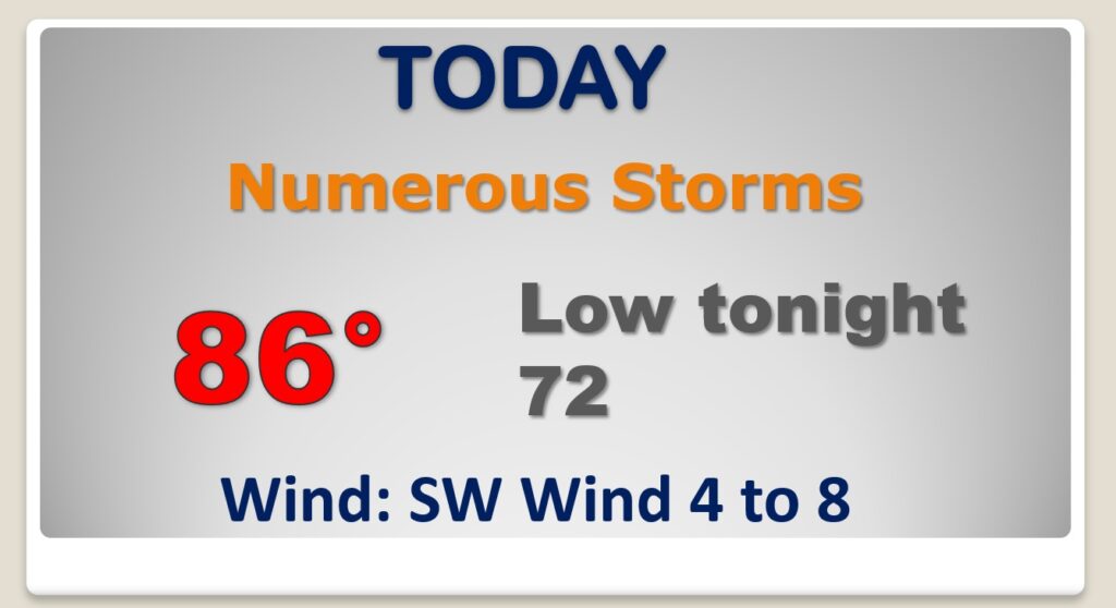
Good Morning! It’s been a wet 24 hours in Alabama. Once again today, the stage is set for widespread showers and storms. More locally heavy downpours. Even Wednesday, storms will be in rather generous supply. But, on this video, we’ll look ahead. Storms will start to thin out in number by late week. I have an early peek at the weekend. Plus, we’ll check the tropics.
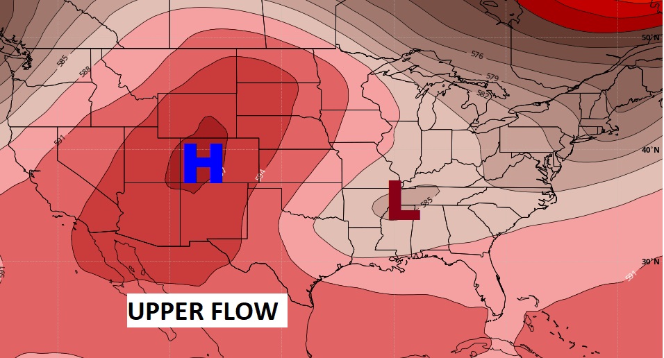
All signs point to another wet day in Alabama. An upper trough of low pressure is in control for now.
By late week, the upper trough is gone. High pressure ridge builds. Storms will still be around, but they will thin out in number. Not as many.
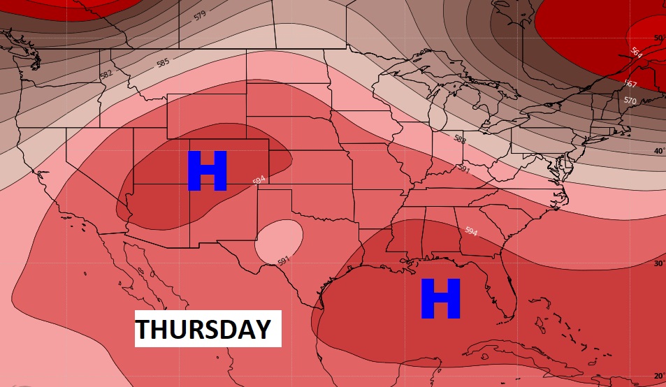
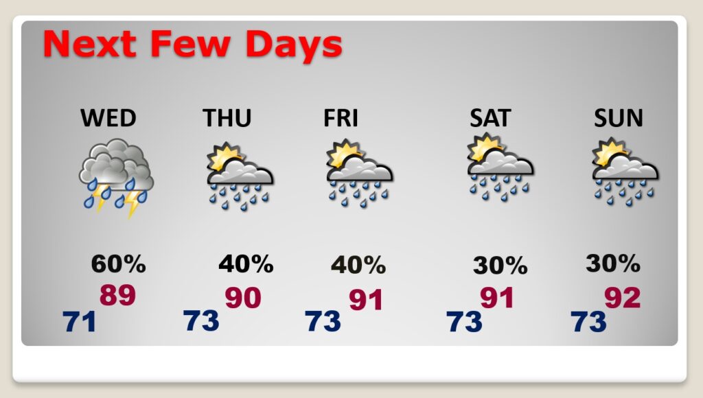
Even Wednesday there will be a generous amount of showers and storms. But, Thursday through Sunday, expect the number of storms to start to decrease. Closer to a summertime normal. High Temperatures will return to near or above 90.
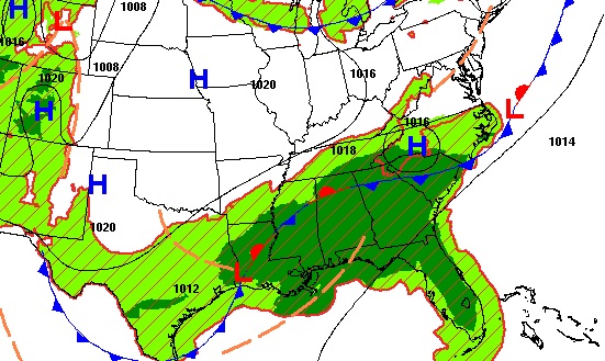
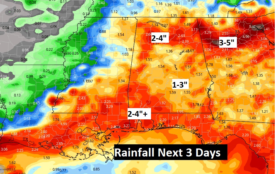
Wet Times across the Southeast. Additional rainfall totals could be heavy in spots.
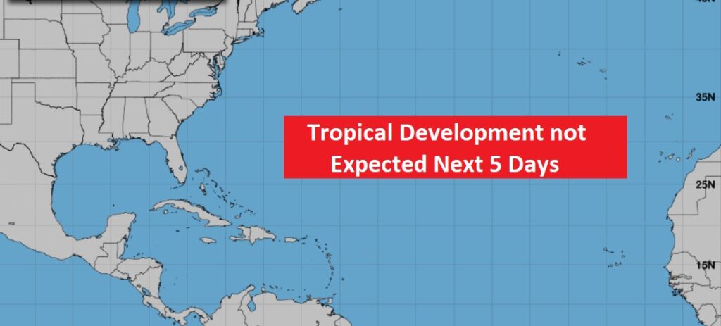
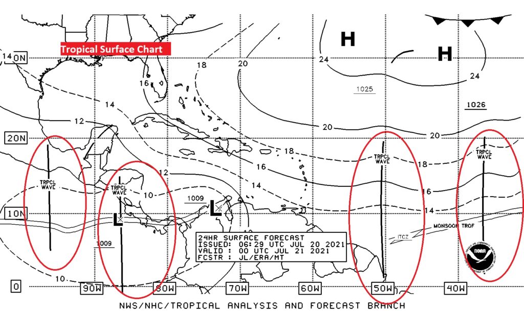
Fortunately, one thing we don’t have to worry about right now is the tropics. We are monitoring some tropical waves in the tropical Atlantic, however.

