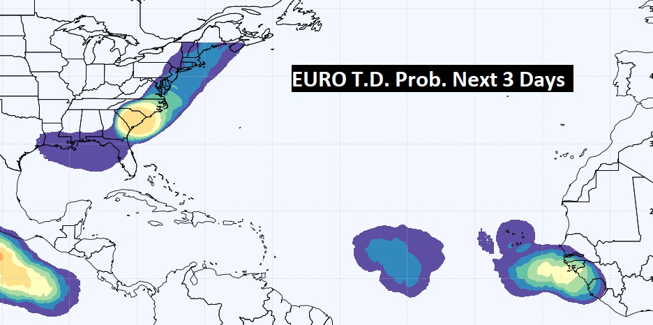
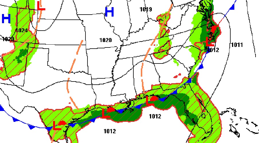
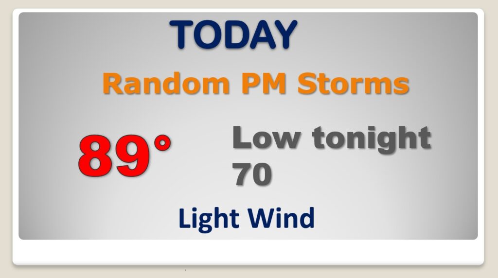
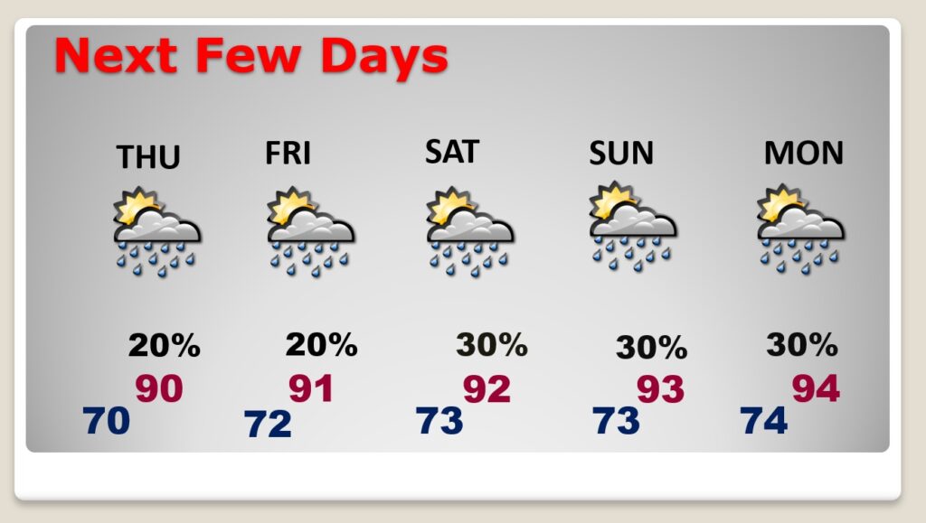
Good Morning! The front that brought the big storms Monday is stalled near the Gulf coast. That’s where all the action will be over the next few days. Closer to home, our forecast is much more routine, and very typical for summer. Storms will be few and far between through the end of the week , and scattered over the weekend. Meanwhile, look for our temperatures to start edging upward again toward the weekend. Could we be headed to more triple digit heat indices? I have updated the forecast details through the weekend for here and the Beach. Plus, in the Tropical Atlantic, we are now tacking two features, including Invest 91-L.
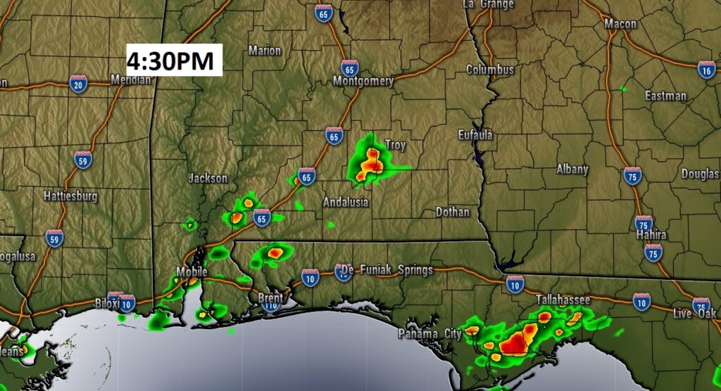
Your chance of encountering one of those random PM storms will be small. Storms will be widely separated. The best rain chance will be across the southern counties.
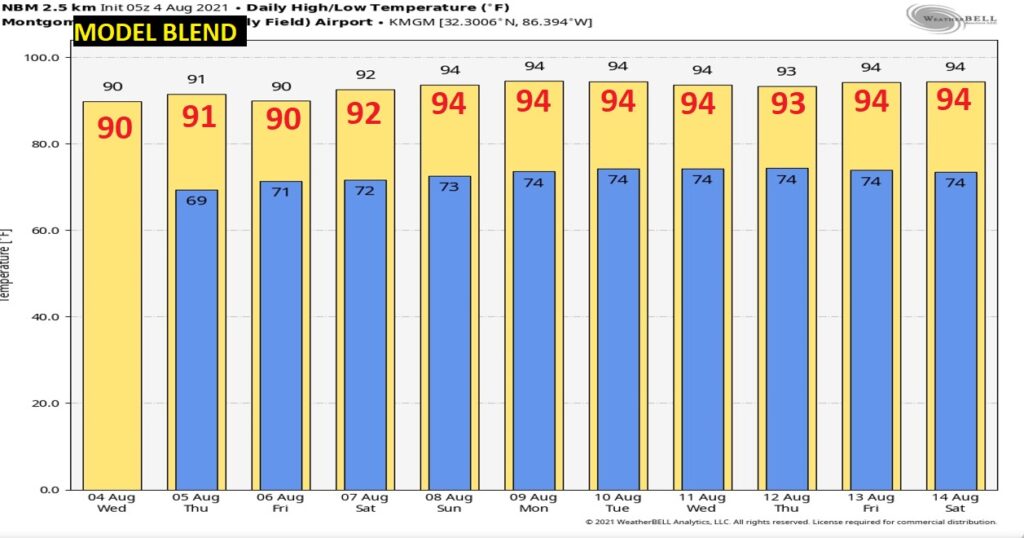
Temperatures will be gradually heating up toward the weekend. Back to the low to mid 90’s. Average, typical summertime pop up storms.
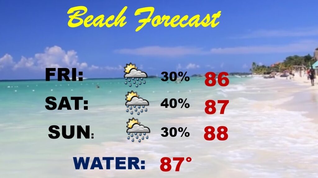
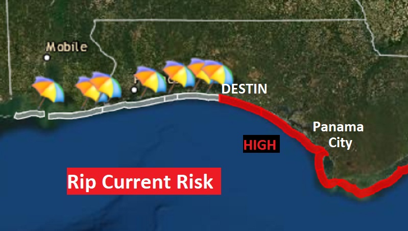
Rain chances have been running high on the coast with that stalled front, but, by the weekend, the number of storms will start to thin out. Watch out for Red Flags from Destin eastward. High rip current risk.
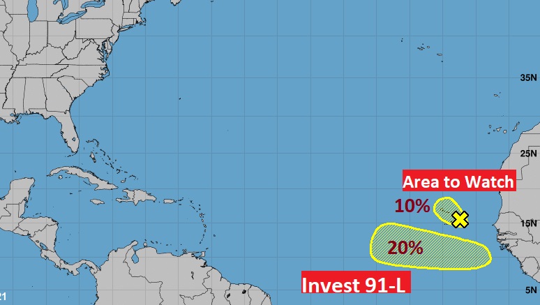
In the far eastern Tropical Atlantic, NHC is now watching two features, including Invest 91-L and an Area to Watch.
