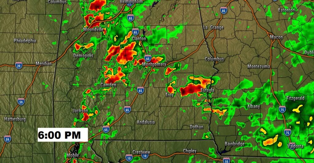
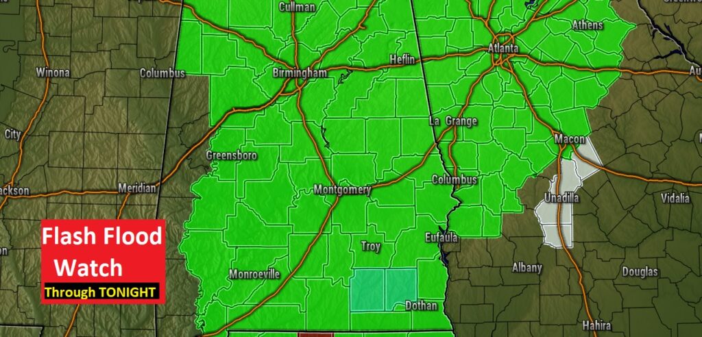
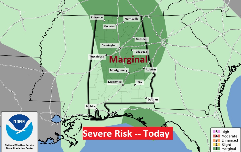
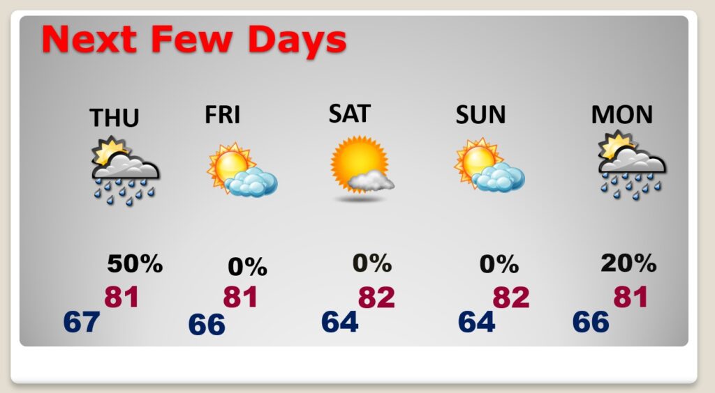
Good morning! It’s a different day, but the same song..next verse. Flash Flood Watching continues. The radar will be very active again today as it has been in the overnight hours with pockets of heavy rain at times, There could even be a couple of stronger storms. Thursday, as the slow moving system pushes into west Alabama, I think the better rain chance will be from I-65 eastward. Hang on! Big improvements begin Friday, leading to a really nice October weekend. Could we see a nicer, cooler front my mid-month? I’ll fill you in on the video.
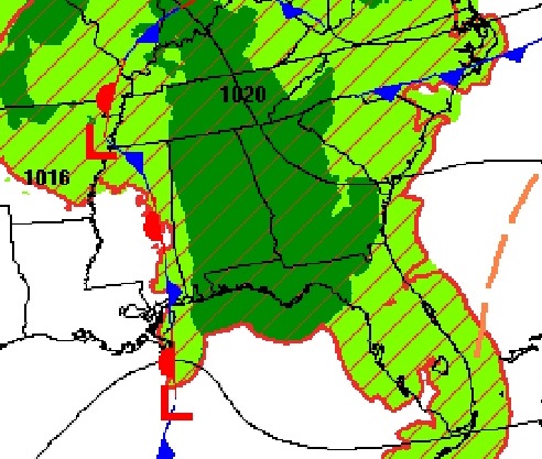
Still on the west side of a frontal system and upper trough to the west of us…Same Scenario. Numerous showers and a few storms. Tropical downpours.
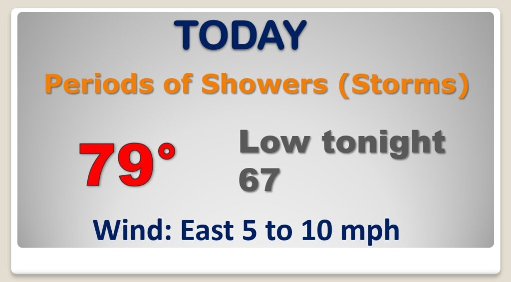
Flash Flood Watch remains in effect. The Storm Prediction Center says a few storms could be strong, possibly Severe. Marginal risk.
Big improvements start Friday. Nice October Weekend with lower humidity, comfortable days and cooler nights. Another approaching front bring small rain chances back in early next week.
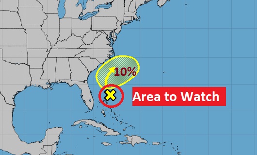
Still monitoring an Area to Watch off the Southeast US coastline. Rest of the tropics quiet for now.
