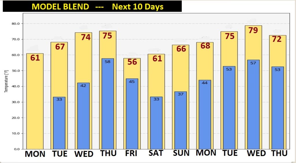
Good Morning! It’s a very Cold, sub-freezing Valentine’s morning. But, we should see a remarkable afternoon temperature swing. A Major warming trend is in the cards Tuesday trough Thursday. We’ll be into the 70’s by Wednesday. But, the stage is set for a significant storm system by Thursday. Strong to Severe storms are quite possible, and tornadoes can’t be ruled out. On this video, I’ll bring you up to speed on the details for the week and ahead and well into next week.
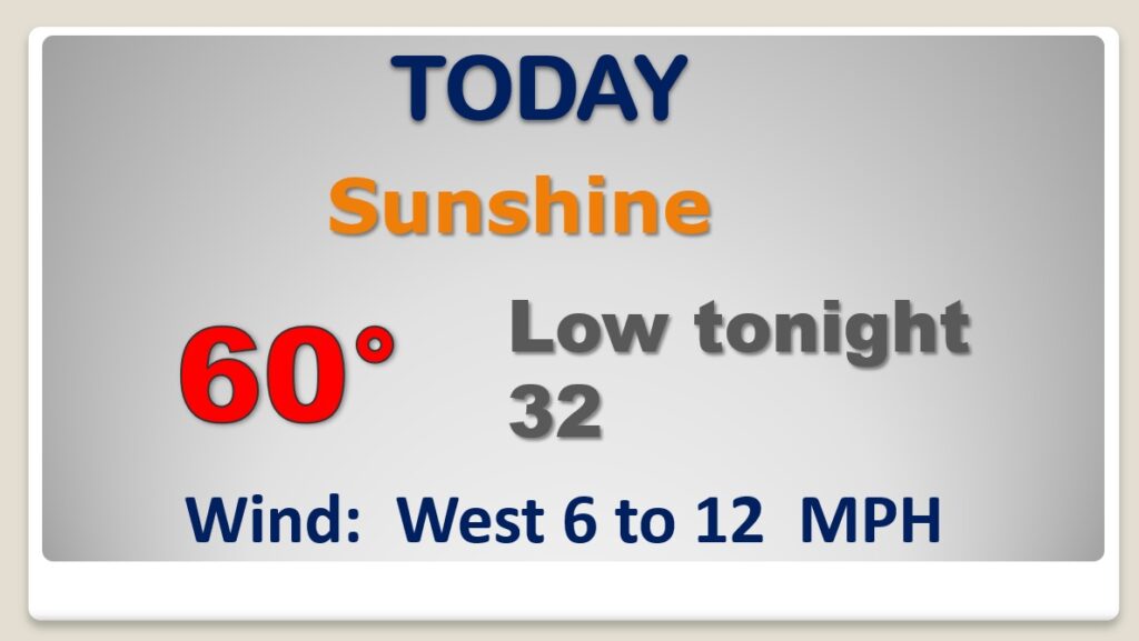
Look for a remarkable temperature recovery today. We start in the 20’s…and some towns will surpass 60 degrees this afternoon. Sunshine. Close to the freeze mark again tonight.
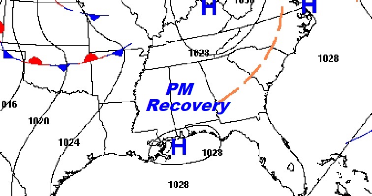
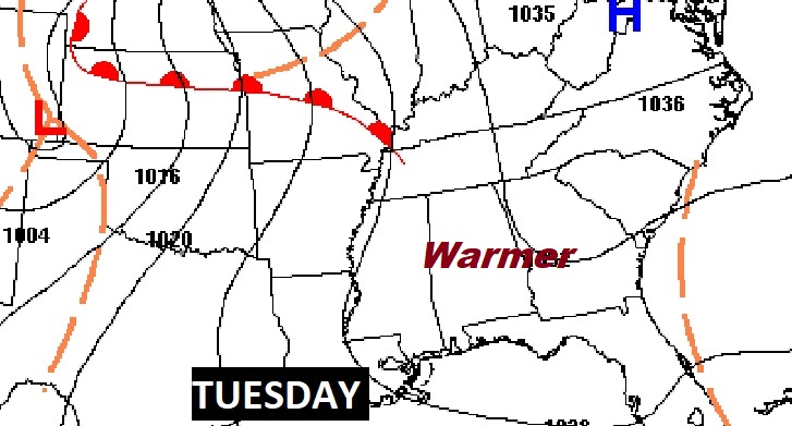
Get ready for a big worming trend Tuesday through Thursday. Mid 70’s by Wednesday.
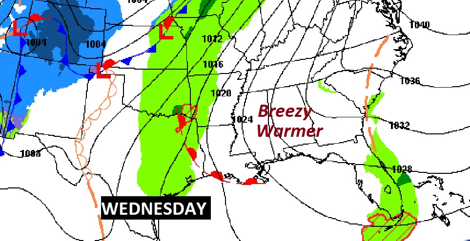
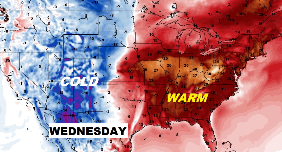
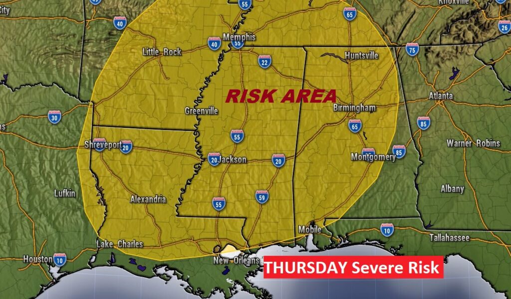
All Eyes on a major storm system which will affect the state Thursday. Strong to Severe storms. A few tornadoes possible, in parts of the state.
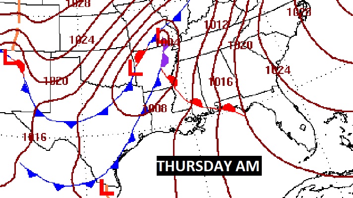
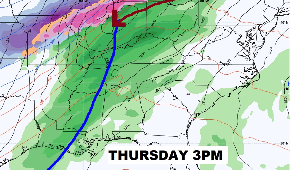
The Storm Prediction Center’s Severe Weather Risk area for Thursday, covers all but extreme east ad southeast Alabama. All modes of severe weather are possible, including a few tornadoes.
Big Warm-up Tuesday and Wednesday. Major storm system Thursday. Colder Friday. Another warm-up begins over the weekend.
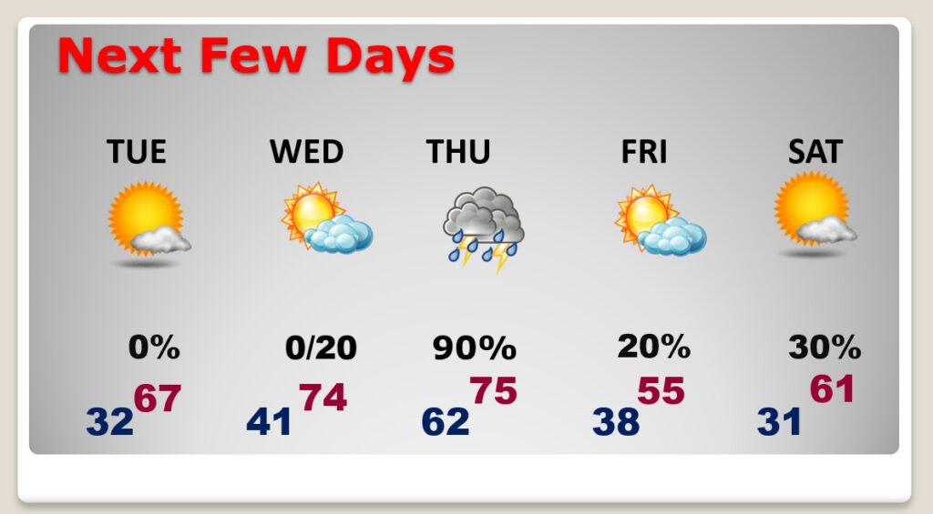
According to the model blend, the rollercoaster ride will continue.
