Good Morning! Our beautiful string of storm-free spring-like days continues. Today we may tie or break a record high. (82 in 1955 and 1880). This warm/dry pattern continues through the weekend, with highs in the 80’s. It will feel more like early May. We’ll be at least in record high territory through Sunday. Showers and thunderstorms return Monday. And, a series of disturbances will keep us wet at times next week. On this video, I’ll fill in the details of an active weather week ahead.
Record high territory today on this Friday! Enjoy. This will end soon.
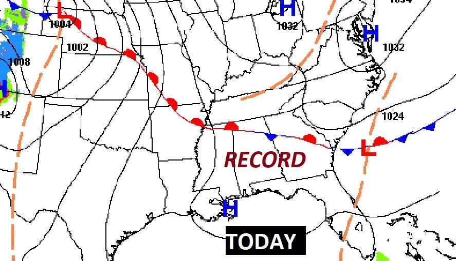
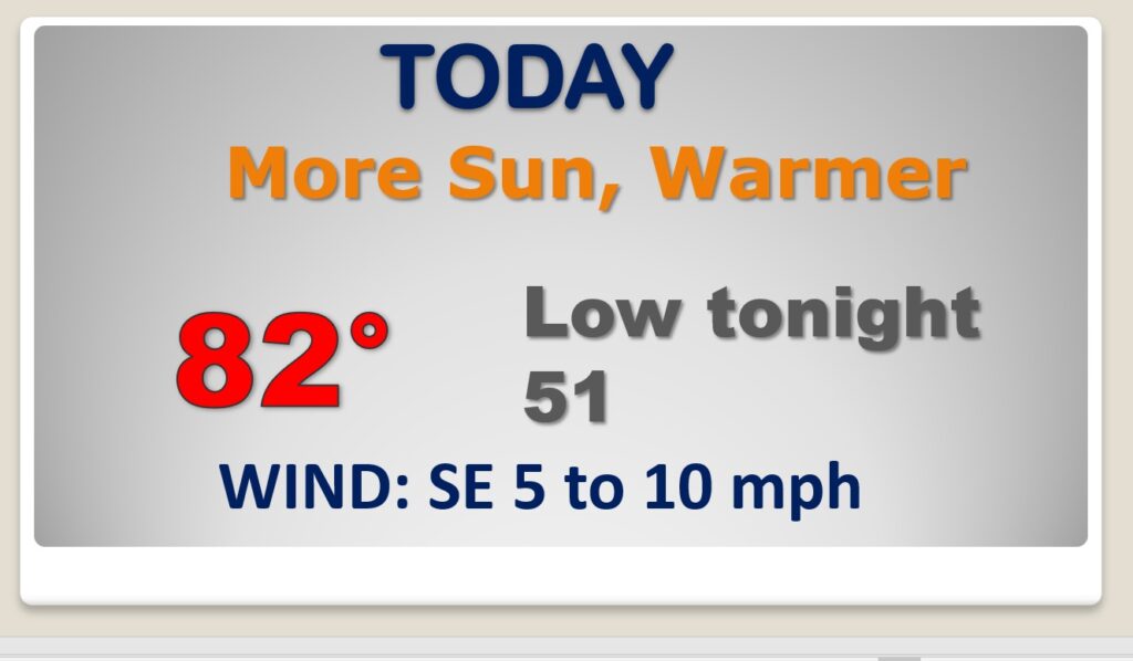
This nice Warm and Dry pattern continues through Sunday. Then, it’s over. Showers and storms return Monday.
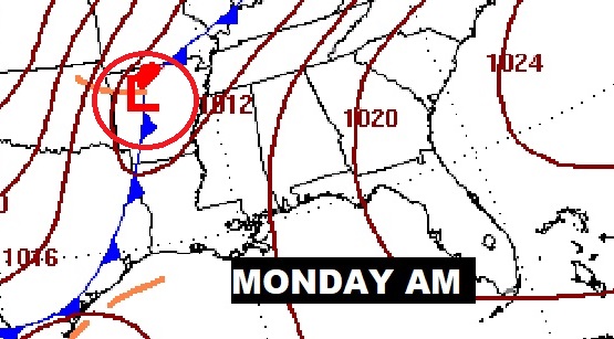
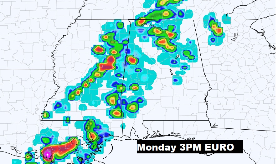
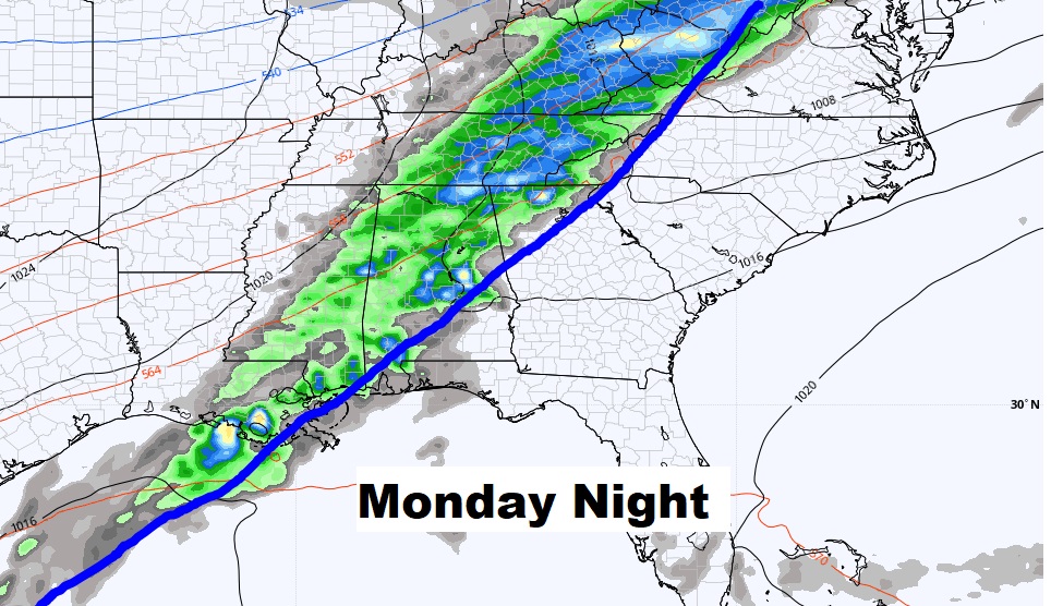
It will be wet at times next week.
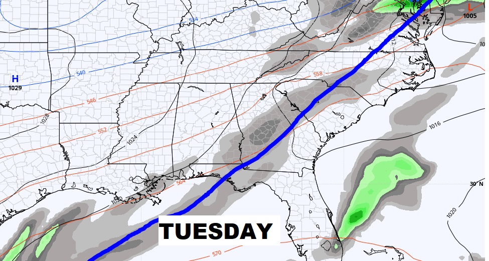
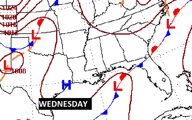
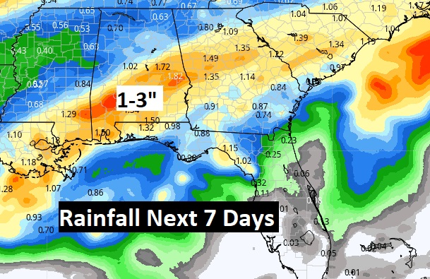
Dry & Warm through Sunday. Showers and storms return Monday. Wet at times next week.
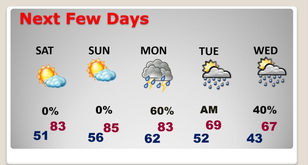
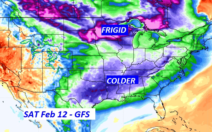
Another shot of very chilly air will invade the Gulf South at the end of next week. We may not be done with freezing temperatures yet. We’ll see.
