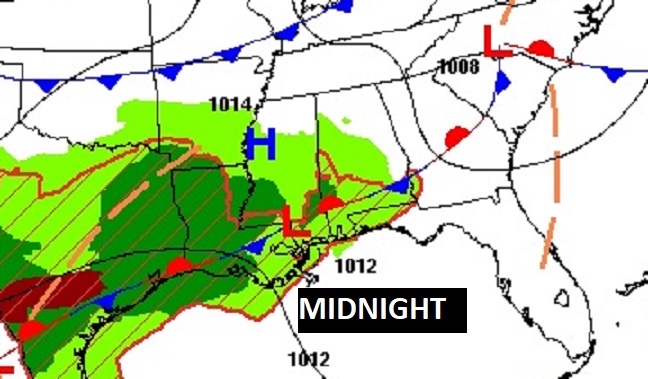
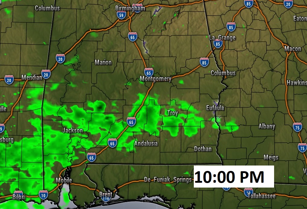
Good morning! Today will be a pretty good day, in-between storm systems. Expect a partly sunny day, with highs in the mid 70’s. Scattered showers return tonight. Widespread rain and a few thunderstorms will drench the area Son St. Patrick’s Day Sunday. Then we’re in for a late season shocker, as much cooler air overspreads the state Monday and Tuesday. By Tuesday Dawn, we’ll be close to the freeze mark, on the First Day of Spring. Temperatures will recover later in the week.
.
TODAY: . DENSE FOG Advisory cancelled. Partial sunshine today. Comfortable. High in the mid 70’s. North/West wind 5 to 10 mph. Scattered showers return tonight. Low tonight 62.
.
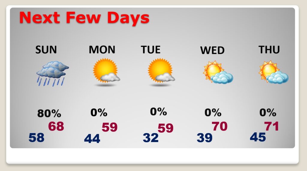
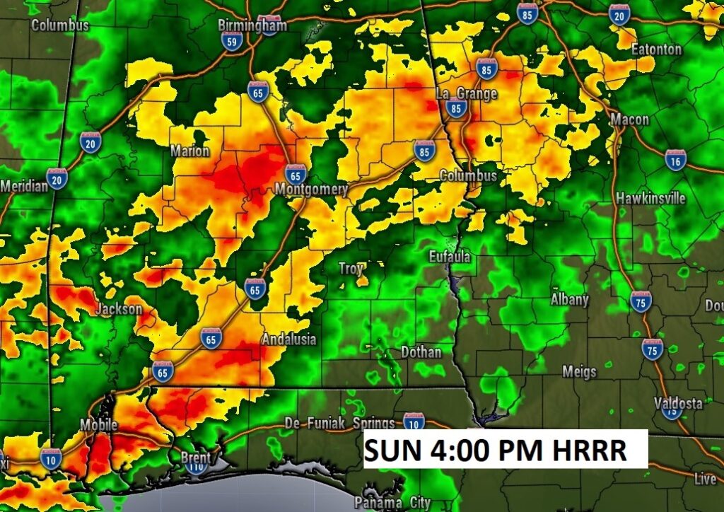
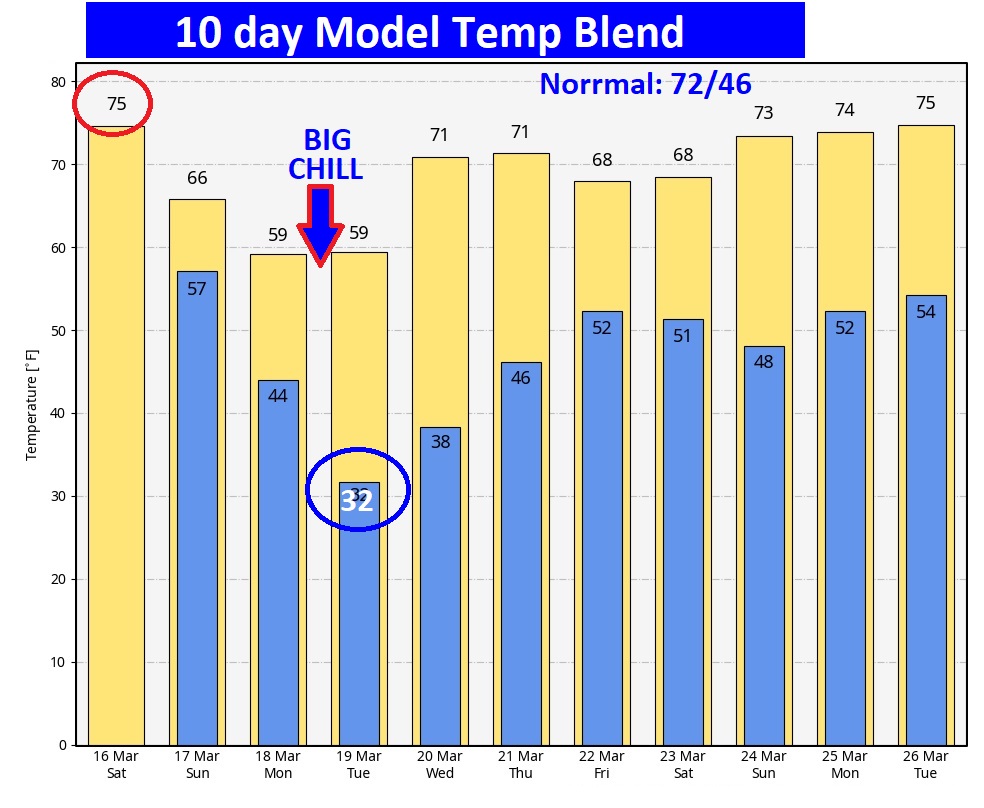
NEXT FEW DAYS: Widespread rain and a few thunderstorms will drench the area Sunday. Then we’re in for a late season shocker, as much cooler air overspreads the state Monday and Tuesday. By Tuesday Dawn, we’ll be close to the freeze mark, on the First Day of Spring. Widespread frost. Highs Monday and Tuesday may not make it out of the 50’s. (Normal hi/lo 72/46)
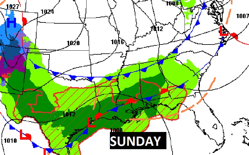
Widespread rain and storms on Sunday.
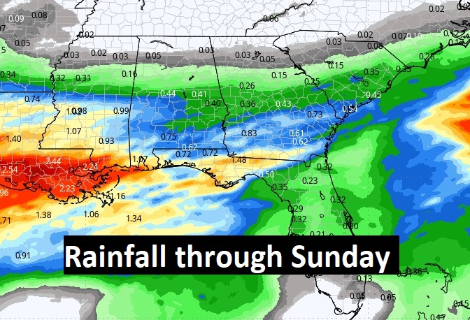
Here’s the expected rainfall through St. Patrick’s Day Sunday. The most concentrated rainfall will be in south Alabama and near the coast.
Here’s the 10 day temperature trend. We’ll be close to freezing Tuesday morning. (First day of Spring) It’s late in the ballgame for that. Average date of the last freeze has already past (MGM): March 8. Last freeze last year was March 20. Temperatures will recover later in the week.
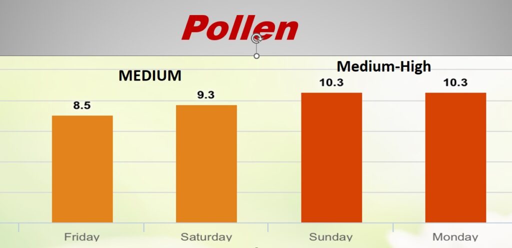
POLLEN: Here’s a look at the next 4 days.
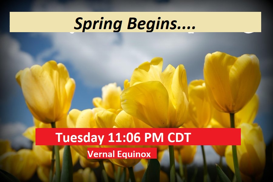
SPRING BEGINS TUESDAY: Spring officially begins Tuesday, at 11:06 PM. The Vernal Equinox.
Thanks for reading the Blog this morning. The next scheduled Blog update and video will be Monday morning. Have a great weekend!
–Rich
