Two ‘potentially significant’ Severe Weather Threats are looming, tomorrow (Monday), and again Wednesday. On this Special update, I’ll bring you up to date on the latest details on the threat level and timetable. All modes of severe weather are possible including, this time, tornadoes. Hope you have a minute or two to watch this important update.
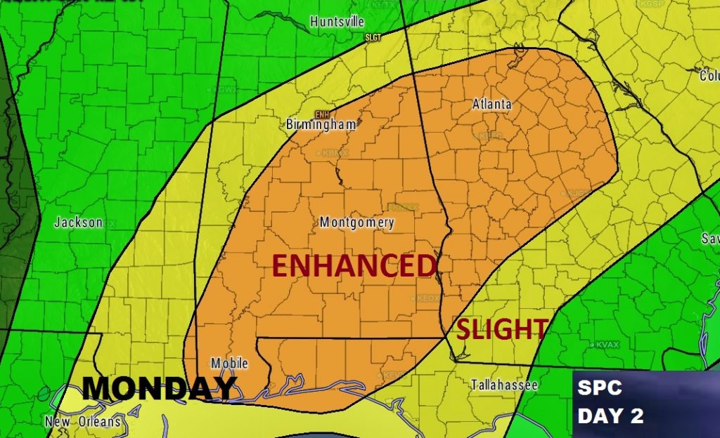
Here’s the Monday Severe Risk from the Storm Prediction Center. Notice the large Enhanced Risk area covering much of central & south Alabama. All modes of severe weather are possible including tornadoes.
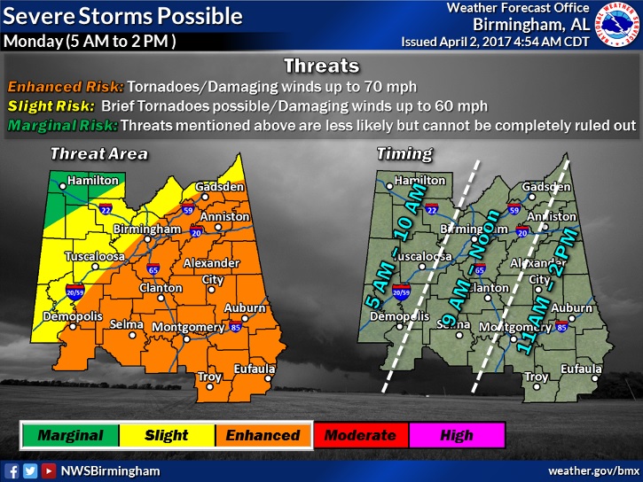
I like this graphic from NWS Birmingham which gives you a better idea of the possible timeline from 5AM in the far west to 3PM in the far east. It also outlines what kind of threats are expected in the various Risk areas.
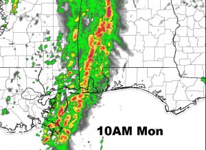
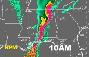
Here’s a peak at just a couple of the hi-res models suggesting mid to late morning for the main threat moving into central Alabama. I have seen some models, however, that area about 3 hours faster than this.
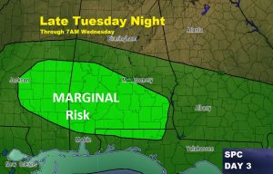
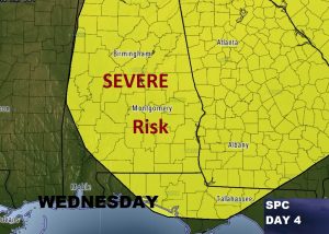
Round 2 of severe weather is Wednesday. While the strongest risk appears to be Wednesday afternoon/evening, SPC has even included a Marginal Risk in the pre-dawn hours of Wednesday morning. Models are disagreeing on the details, but there are many ‘what if’s’ on this Wednesday scenario, and it’s certainly possible, if everything comes together, that this could be a very Significant Outbreak. Stay tuned.
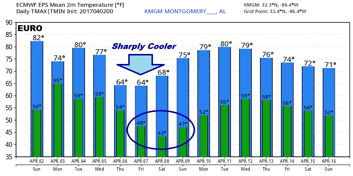
After the severe weather, the global models advertise sharply cooler air arriving late week and into the weekend, including some very chilly mornings. Jacket weather. Here’s a look the Euro 10 Day temperature guidance.