
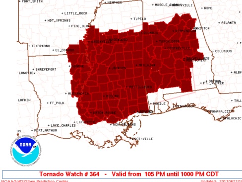
UPDATE 3:15PM: Tornado Watch extended to include Bullock, pike, Chamber, Lee Russell counties until 10PM
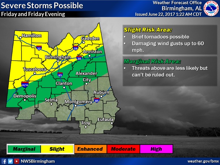
The threat of occasional short-lived spin up tornadoes will continue across much of Alabama this afternoon and into most of the evening hours. Be weather aware and be ready to take action. Our weather app will alert you to the latest watches and warnings for your area. ALSO, the threat of Flash Flooding will continue from tropical downpours associated with the outer rain bands of Cindy. Significant additional rainfall amounts are likely which could cause serious flash flooding in spots. The threat for showers and storms with locally heavy downpours will continue into the evening hours and even into the overnight hours tonight. Although the tornado risk will start to slow down after sunset, small chances will continue overnight.
Here’s the latest Tornado Watch in effect until 10PM. That’s a long watch. Very typical for tropical weather systems. The eastern edge of this watch includes Macon, Tallapoosa, Crenshaw, and Covington. It includes most of the state.
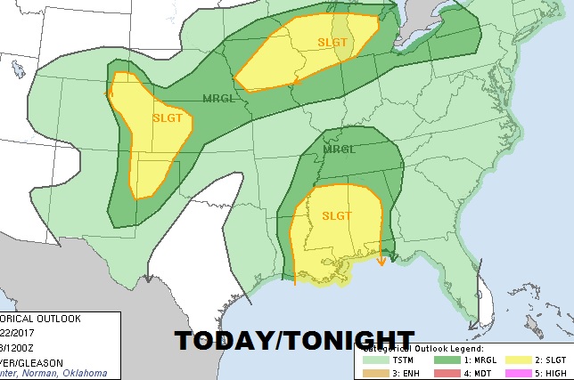
The severe weather threat covers much of Alabama and surrounding states today and tonight.
Tomorrow the severe weather threat with the remnants of Cindy migrates northward. Still a spin up tornado threat.
If you don’t have our Free Weather App yet, download it today for your smart phone or tablet. Go to your App store and search Rich Thomas Weather.