Happy Friday! A rare summer will bring the threat of some strong storms for parts of the state today & tomorrow. I’ll update you on time timeline and how it could affect your plans. Plus, the latest of a little heat relief behind the front, and perhaps even some lower humidity. How long will that last? All that, plus the beach & tropics. Have you got a couple of minutes? Here’s your brief but concise Friday morning weather briefing.
That rare summer front enters the state this evening and heads southward. Could be some strong, possibly severe storms in parts of north and central Alabama this afternoon & this evening.
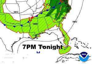
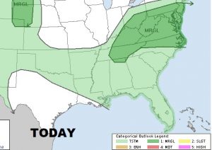
Tomorrow the front makes it into central, and eventually south Alabama. Showers and storms ahead of the front could be locally severe in spots with the threat of damaging wind gusts.
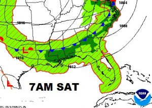
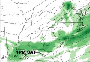
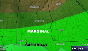
By Sunday morning the front makes it all the way to the coast with the best rain chance near the beaches. Much of Alabama will be storm free behind the front.
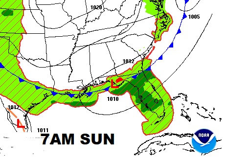
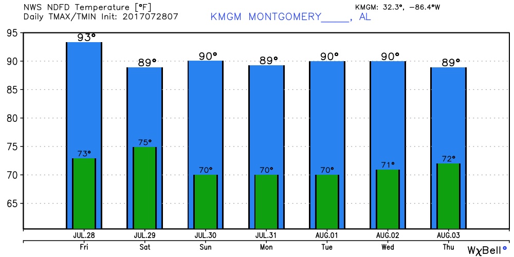
Looking for a little heat relief. Looks like this front will knock us down from the upper 90’s of the last 2 days to maybe upper 80p’s to/ around 90. Nights will be down a but, and the humidity will be a little lower, too.
