Welcome to the first day of Fall! But, it will feel like summertime, until we get a nice little break in about a week. I’ll update the steamy weekend details. Maria is still a powerful hurricane, and everybody is still wondering: How much of an affect Maria could have on the US. The future steering is complicated. I’ll run it all down for you. Do you have a couple of minutes? This is your Friday morning personal weather briefing.
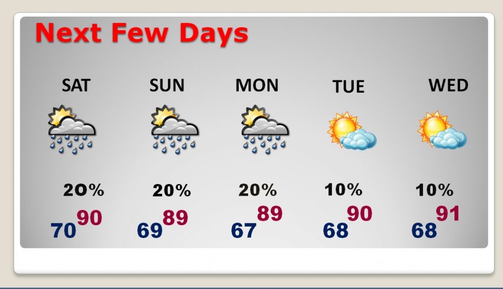
Storms will be few and far between on this first day of Fall. Scattered PM storms will fade out after dark. Highs at or above 90. Low tonight near 70. Yesterday we had a sizzling 94. How about that firs the last full day of summer!
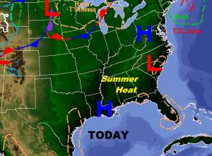

Next few days….We are still about 7-8 days away from some real nice air.
Cold front arrives at the end of next week. Stage 1 Friday, Stage 2 Saturday. (Maria will slow up the arrival time)
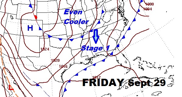
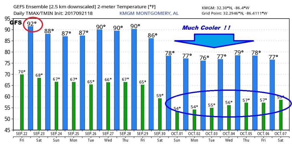
MUCH nicer Fall Air, begins the last weekend in September, then it hangs around for while.
Now the latest on Powerful Hurricane Maria. Still a strong Cat 3 with 125 mph winds. Here’s the NHC cone.
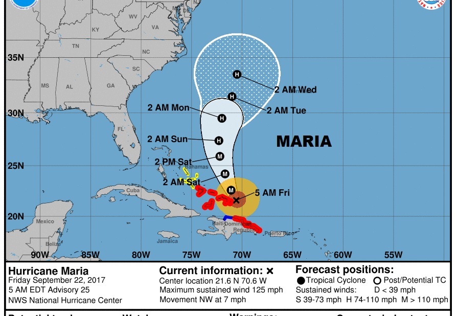
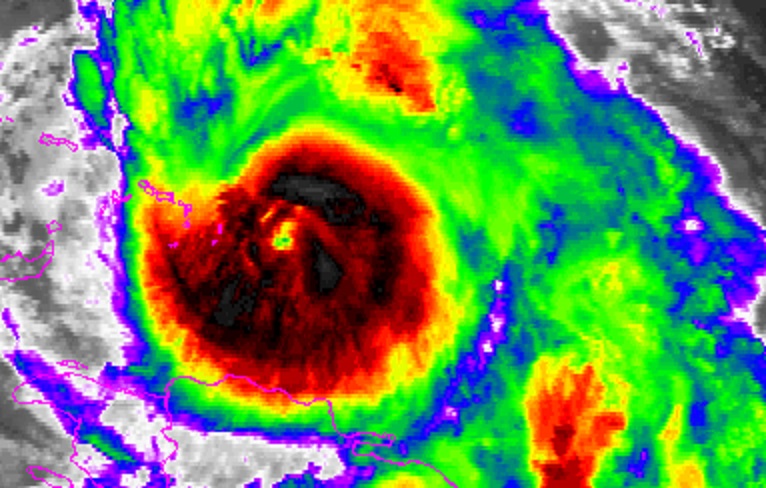
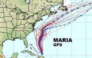
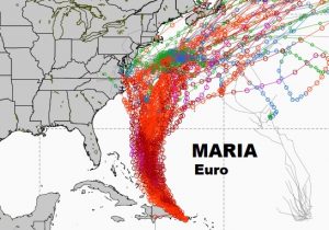
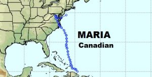
The future steering of Maria is extremely complicated. It involves some intricate details, including the future position of stalled Jose, and an approaching trough of low pressure in the upper atmosphere, including it’s speed, and intensity, and track. Maria, as you can see from the major global models below, certainly may have a significant impact on the weather across the eastern US seaboard next week.
