Good Morning! We have a very cold, very active weather week ahead, with a series of disturbances interacting with the cold air, causing a tricky forecast. You’ll see what I mean when you watch the video. I’ll walk you through the details and tell you what we know. PLUS: The New Years Weekend forecast will raise eyebrows for sure. If you think Christmas was chilly…wait till you see New Years. We’ll explore the possibility of some Wintry precipitation. Here’s a scaled down version of your Tuesday personal weather briefing.
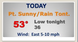
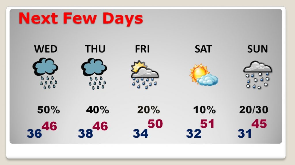
Dry today. Rain moves in and becomes likely tonight.
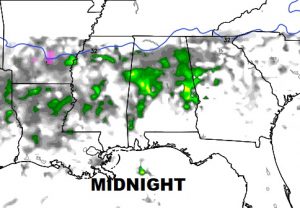
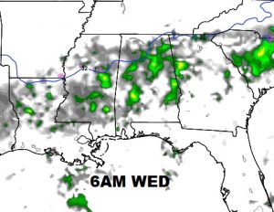
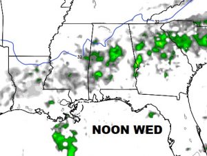
Future radar showing rain affecting much of the area with rain tonight and early tomorrow with disturbance #1.
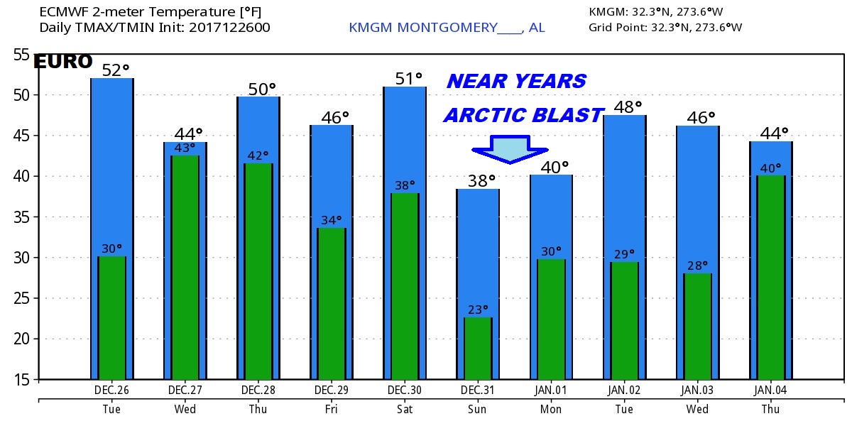
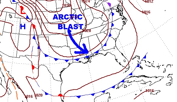
A cold week ahead featuring a series of disturbances with an occasional rain threat. Another Arctic Blast is on the way for New Years Weekend.
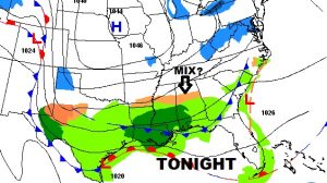
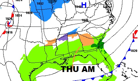
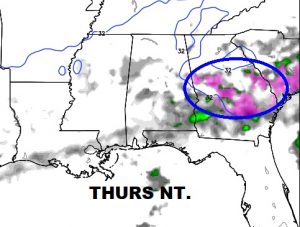
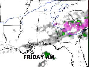
Second disturbance is more complicated. Possible icy weather problems in Georgia late week. Could be a very close call for east central Alabama.
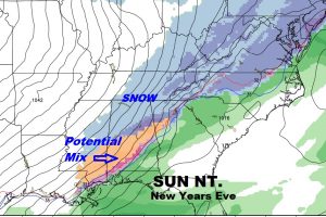
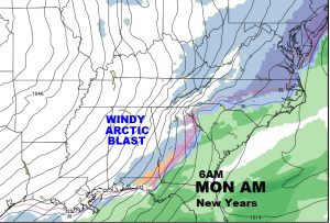
Another arctic blast for New Years weekend.
It’s early, and this forecast will change/evolve with time, but we can’t rule out some froze precip. in the state by New Years Eve. Stay tuned it’s possible.