Good Morning…on a frosty March morning. Many of us will wake up to low 30’s for a couple of morning. Freeze warning tonight. Protect your sensitive plants. On this video, I’ll update you on a Weekend Storm System….what to expect, the updated time table and how much rain. Then, how about another temperature plunge next week? Could we see another freeze? Lots of good information on your Thursday morning personal weather briefing.
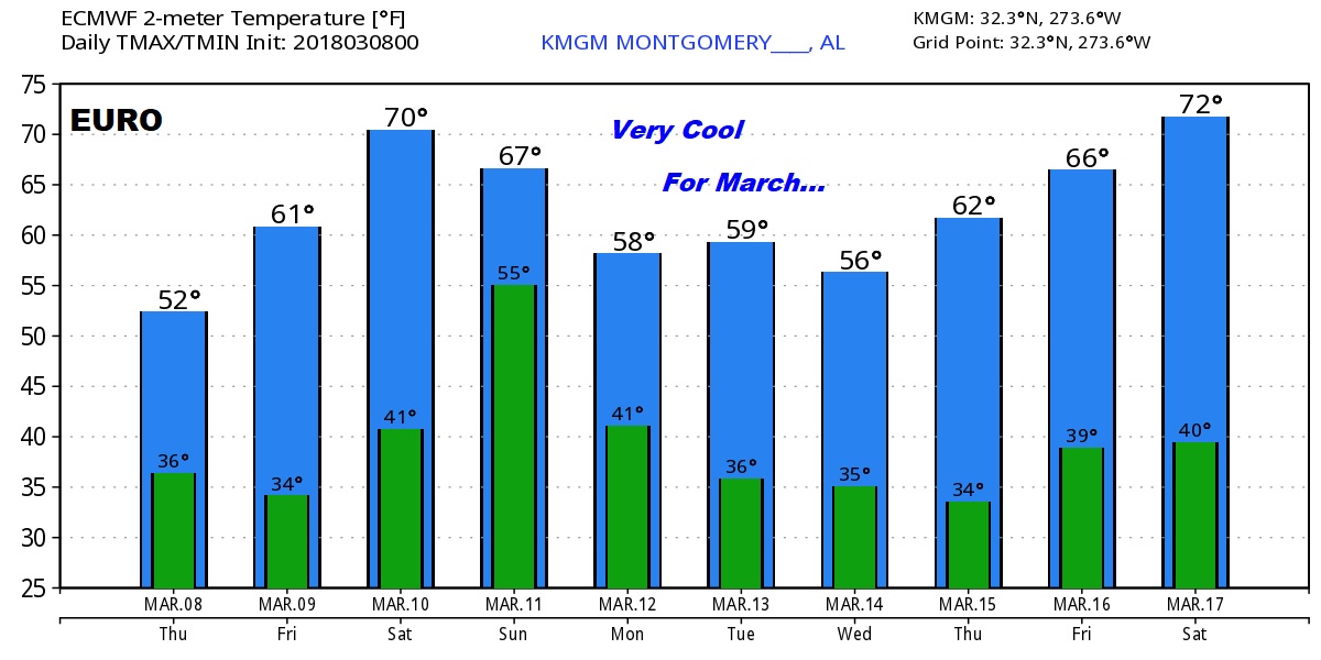
Very cool for March today. After a frosty start this morning, highs will only recover to the mid 50’s We had a high of only 56 yesterday.
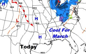
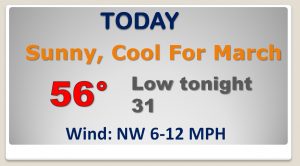
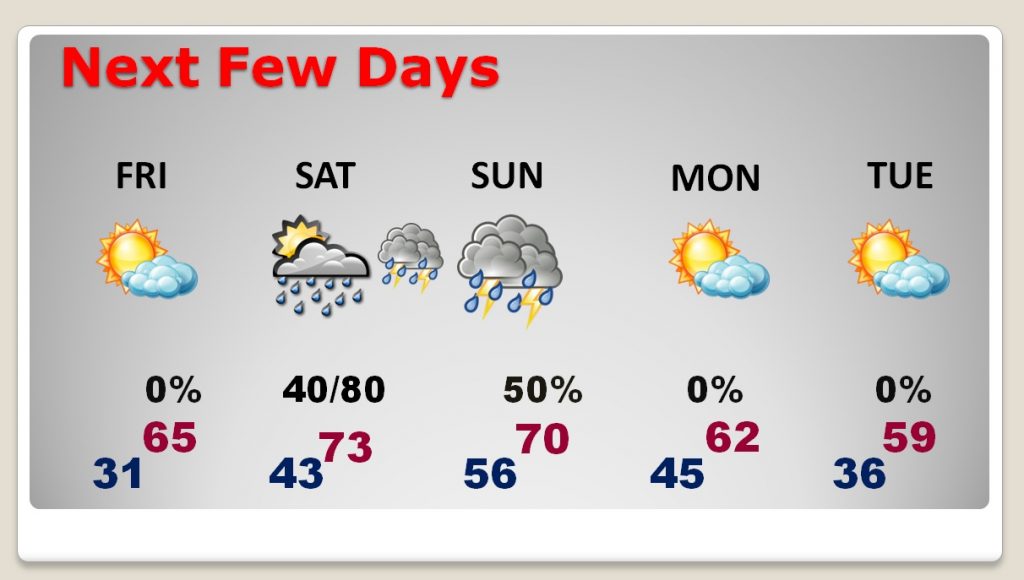
Nice afternoon recover into the mid 60’s Friday after a AM Freeze. Low 70’s Saturday. Then the storm system Saturday night into Sunday. Then, another temperature drop next week.
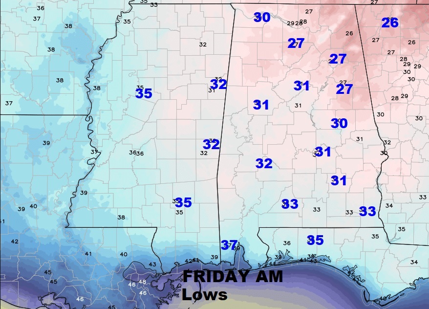
Friday morning, even parts of southeast Alabama will flirt with a freeze. Most of us are under a Freeze Warning tonight. Protect sensitive plants.
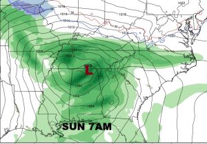
Showers and Thunderstorms Saturday night into Sunday. A few storms possibly strong. The jury is still out on whether the Storm Prediction Center will outlook parts of the state in a severe risk.
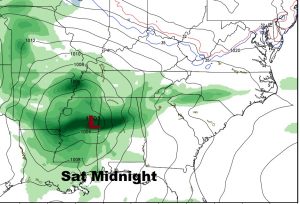
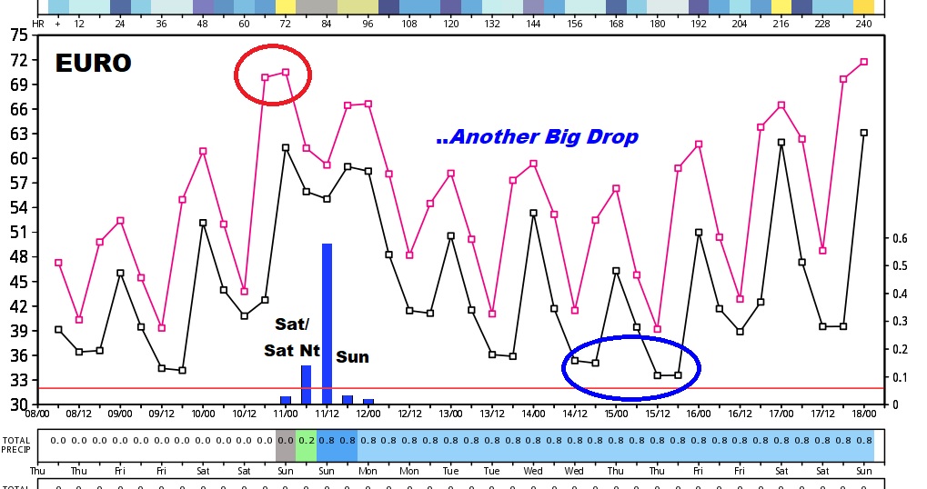
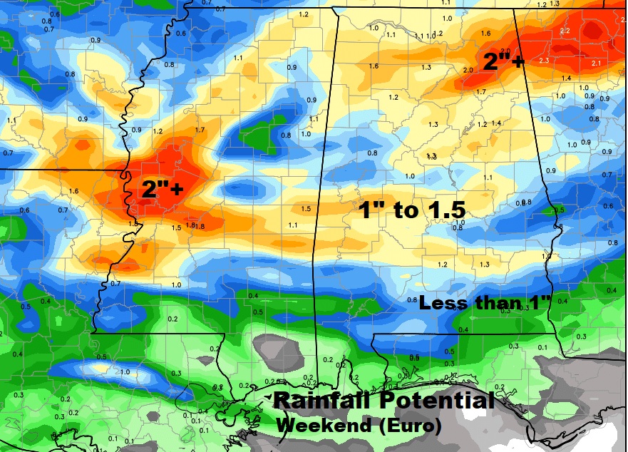
Some decent rainfall is possible with this storm system across central Alabama, according to the Euro model.
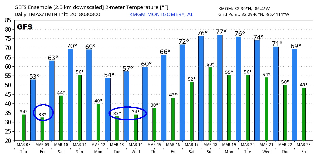
The global models (Euro and GFS) advertise the warmest day Saturday, followed by another big drop after the storm system as we get into next week. The GFS suggest we could flirt with another freeze by the middle of next week, followed by a big warm-up after St. Patrick’s Day.
