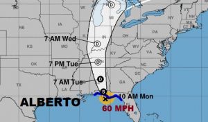
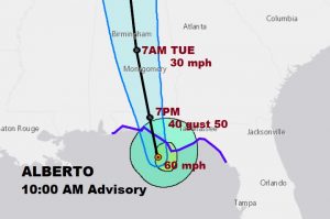
10:00 AM CDT NHC UPDATE: Alberto nearing land. Heavy rain bands moving onshore. Center now 80 miles south of Panama City moving north at 8 Expected to make landfall this afternoon along the panhandle, before ,moving north into Alabama this evening and tonight. Expected to weaken into a depression late tonight or early Tuesday. Winds now 60 mph. No change in strength expected before landfall. Pressure now 992 millibars. Tropical Storm Warning continues for all of the NW Florida and Alabama beaches. Warning extends northward into much of south and SE Alabama.
PREVIOUS POST AND VIDEO:
On This Special Memorial Day update I’ll bring you up to date on Alberto’s future path and timeline. And, specifically we’ll look at the direct impact Alberto will have on us, including flooding potential, expected wind speeds and the tornado threat, as the storm crawls northward on Today & Tuesday. Please take a couple of minutes to watch the video and feel free to share this.
4;00AM NHC Update:
Look at Alberto’s alley way northward from the Gulf coast to the Ohio valley next three days. It will be a significant rainfall and potential flash food producer.
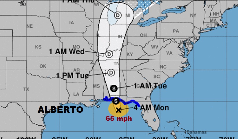
Alberto will probably still have 65 mph winds on the east side of the center when it makes landfall on the NW Florida coast this afternoon. Then, it will lift slowly northward into Alabama and could still be a tropical storm not far from Montgomery late tonight. Then, it will weaken to a Depression as it moves north on Tuesday.
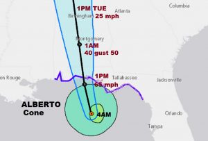
Extremely heavy rain and the flash flood potential are the biggest threat from Alberto. But wind gusts will be high enough to take down some tree limbs and small trees. Isolated power outages are possible.

Very typical with any landfalling tropical system is the threat of brief spin-up tornadoes on the east side of the track. While the threat is relatively small, the best threat will be along the entire eastern strip of counties today and Tuesday.
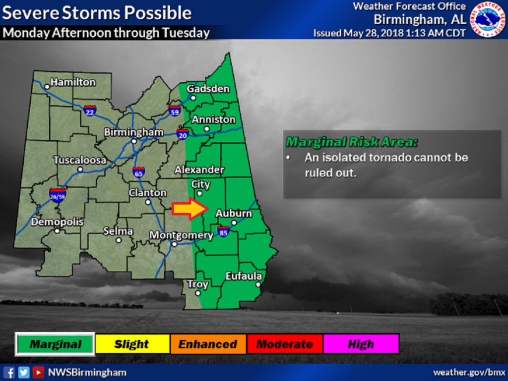
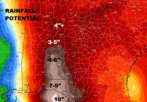
Looks like the coast will be inundated with 7 to 9″ of rain from Alberto. Even here in central Alabama, some spots could see up to 6″.
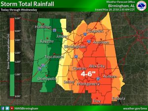
FLASH FLOODING POTENTIAL. Look at that orange swath of 4-6″ rainfall potential.
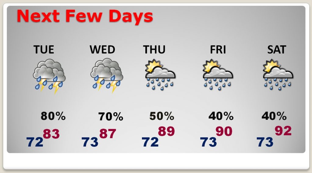
Rain chances remain very high through Wednesday, but the number of showers will start to thin out by late week and the weekend, as the temperature climbs back to 90+.
