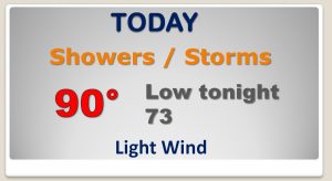
Happy Friday! Once again today, the stage is set for an active day, with scattered to numerous storms. I’ll show you Future Radar, which looks quite colorful and active. Do have big weekend plans? Looks like we may get a little break in the action, especially Saturday, as the number of storms thin out. I have once again “tweaked” the rain chances for the weekend and into next week. And, fingers are crossed that the clouds will cooperate tomorrow night, for a big Double Feature in the heavens above. Watch the video for details. Have a great weekend!
In the upper atmosphere, that trough of low pressure just to the northwest will be the perfect catalyst for widespread scattered to numerous storms today.
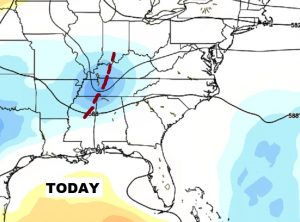
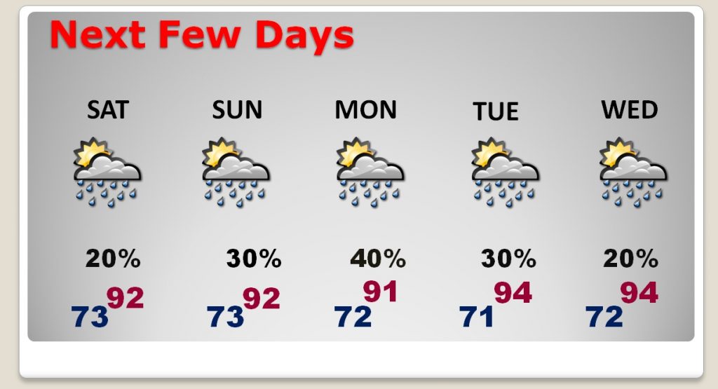
But, tomorrow, that will feature will be gone. Tomorrow the atmosphere will stabilize. Storms will be “isolated” in nature. More sinking air than rising air.
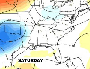
The rain chances are at a low point Saturday. Then the chances will get a little better late Sunday through Monday, before the chances start to ease back down Tuesday and Wednesday. We should return to the mid 90’s by the middle part of next week.
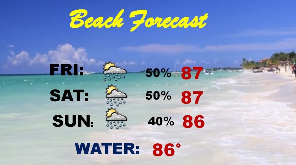
Decent 50/50 chance of encountering a thunderstorm down on the coast today and tomorrow, with a slightly smaller chance Sunday.
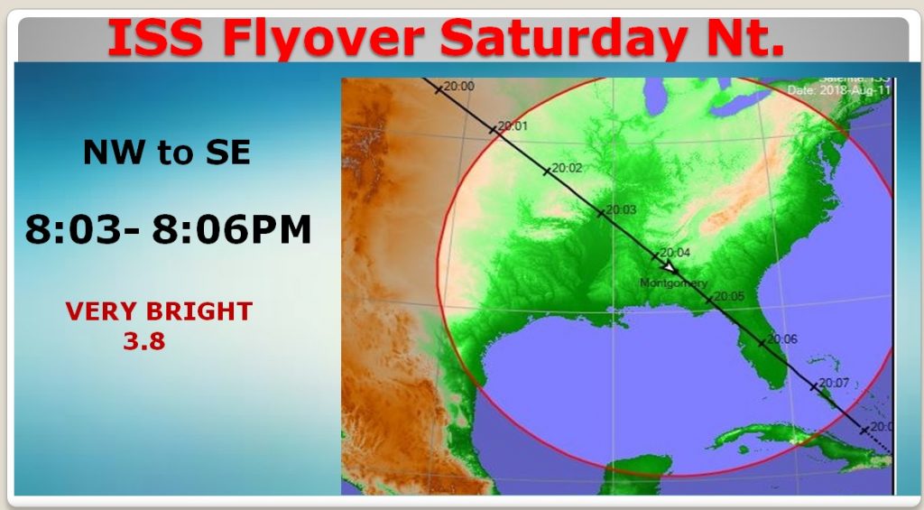
Truly excellent Space Station flyover Saturday night. It will be very bright. Look in the northwest sky at 8:03PM. It will pass practically overhead, and exit the southeast sky at 8:06 pm. Hopefully the clouds will cooperate.
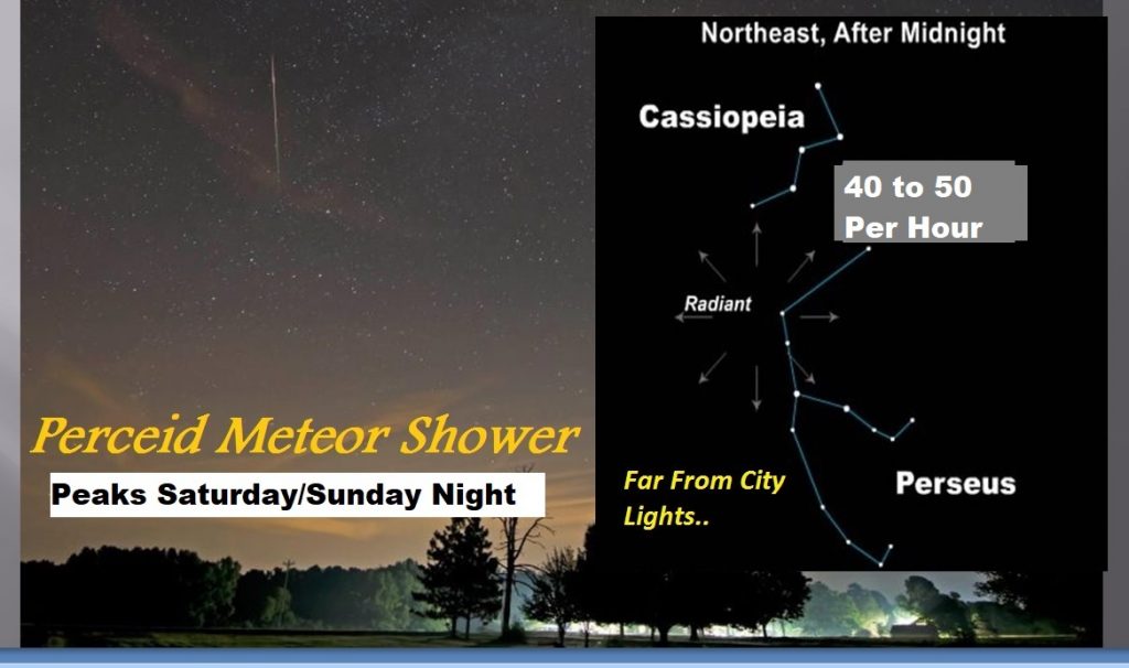
One of the BEST meteor showers of the year, the Perceid Meteor Shower will peak Saturday & Sunday night. The best viewing is after Midnight, far away from city lights. You could see as many as 40-50 per hour. They will be just anywhere in the sky, but they will seem to come generally from the NE sky.