Good Morning! Our incredible string over very hot September days rolls on today. This is day 8 of mid 90’s and triple digit heat indices. What about some “liquid relief”? On this video, I’ll show you Future Radar and we’ll update the weekend forecast details. Chances of encountering a showers are not great, but they will gradually improve. And, what about that late month frontal system? Is that still in the cards. I’ll tell you what we know of your Friday morning personal weather briefing.
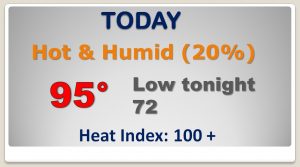
Eighth day in a row today of mid 90’s and the heat index above 100. Spotty, widely scattered liquid relief for some very lucky towns.
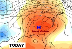
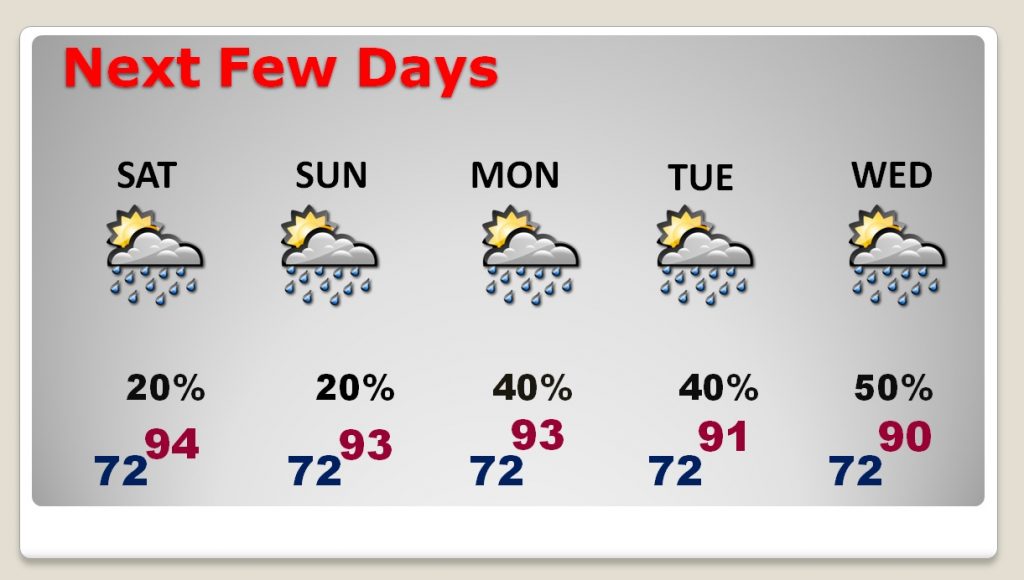
90+ degree weather will continue over the weekend and beyond. Widely scattered storms Saturday and Sunday. But the number of storms increase in coverage Monday through Wednesday.
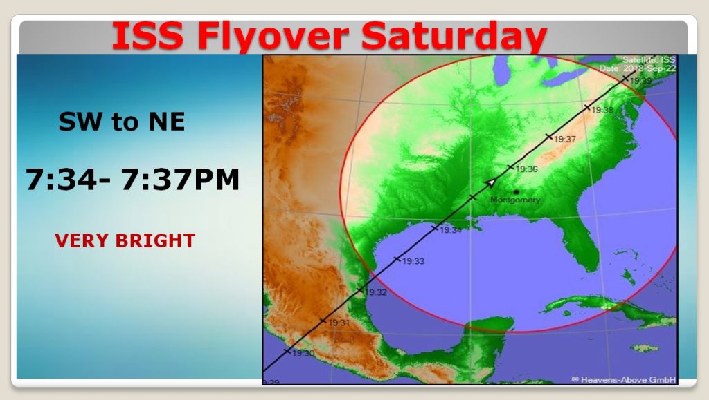
Two things worth noting Saturday evening. Fall begins at 8:54 PM CDT…and there is an excellent space station flyover about an hour earlier that will be particularly bright. A nice treat!

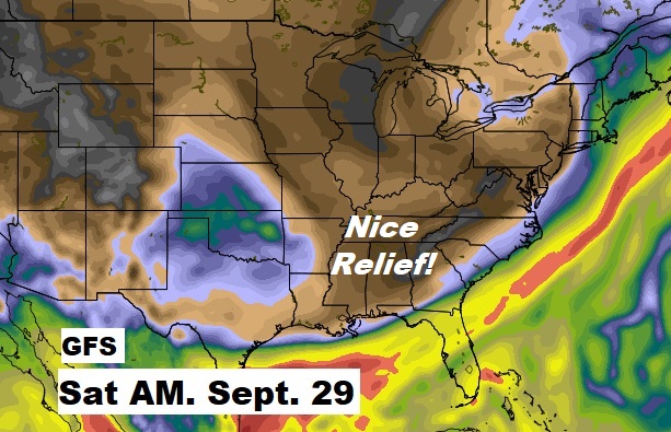
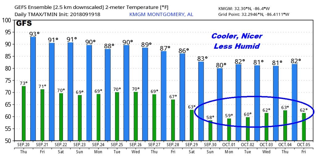
Models (Especially the GFS) continue to hint about a nice cool front which we hope will deliver some nice relief, somewhere close to that last weekend in September. Fingers crossed.
