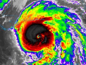
Extremely Dangerous, Category 4 Hurricane Michael, an unprecedented, benchmark storm, is now hours from landfall on the NW Florida coast, and then head northeastward close to the Alabama border tonight and into Georgia thereafter. On this video, I have all the latest information on track and timing and expected impacts. Please take time to watch the video and is you are in the venerable areas, get ready for Michael’s impact in your area.
The Florida panhandle, in all of history, has never seen a Hurricane the magnitude of Michael. Catastrophic.
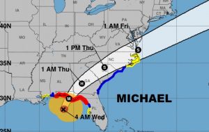
Full cone shows the landfalling Cat 4 hurricane today, then northeast, still a hurricane in central Georgia, then racing northeast into the carolinas as a tropical storm.
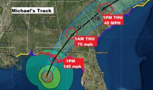
Extremely Dangerous, catastrophic Michael will make landfall this afternoon with perhaps 145 mph winds. Category 4 at least.
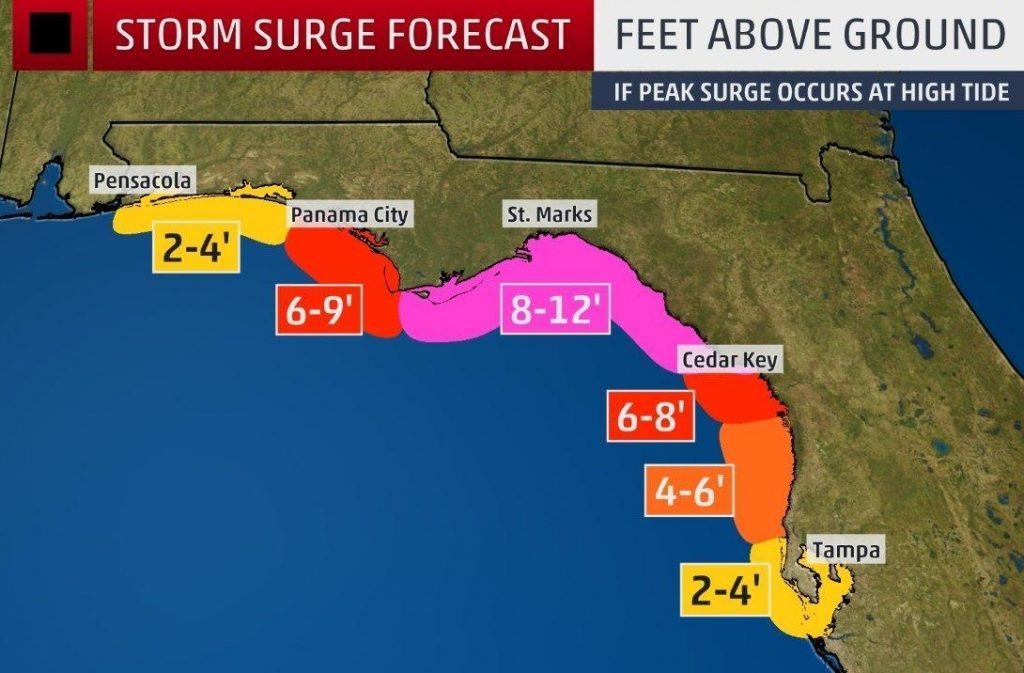
The biggest killer in a hurricane is not wind. It is storm surge. This is a particularly vulnerable area of the US coastline, and the storm surge in Michael is expected to be simply catastrophic, 8-12 feet above normally dry ground. Many towns will go under water. Historic. Unthinkable.
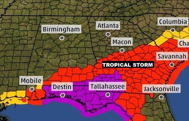
Please look at this map carefully. Here in Alabama Tropical Storm Warnings are now in effect from Butler, Crenshaw, Pike, Bullock, Russell county southward. Rush to completion your preparations for tropical storm force winds. A hurricane warning is in effect in Geneva and Houston county.
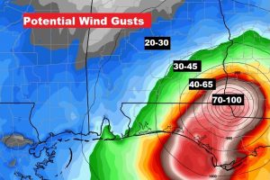
Wind gusts will vary widely from 20-30 mph in Montgomery to 30 to 45 in places like Troy, to 40-50 in Ozark to Hurricane force in Houston and Geneva county.
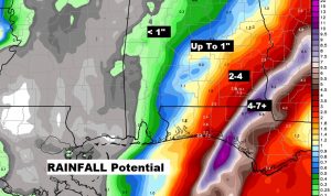
Rainfall totals will increase exponentially the closer you get to southeast Alabama and the coast.
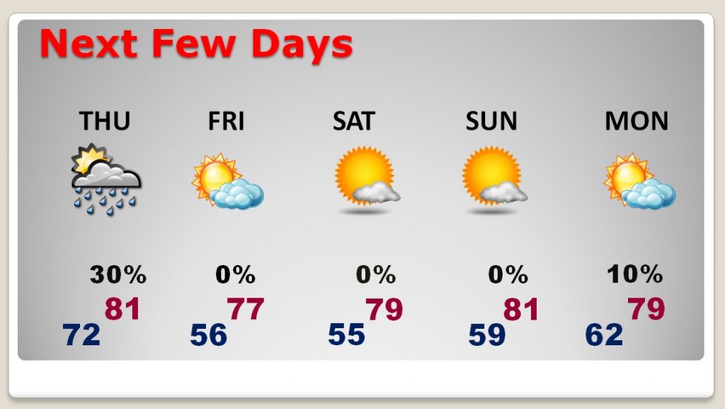
After the storm leaves the region, a cold front sweeps through delivering some nice Fall air for the weekend.
