
We deserve a nice change! After nine days of clouds and rain, how about a string of nice days for a change? This will be a remarkable first weekend in January. Sunshine will not only be around this weekend, but there should see a lot of sunshine over the next seven days. Only a Tuesday frontal system may bring in a few clouds and a small chance of a shower. Very mild air will be round through Tuesday, before we turn dramatically cooler by mid to late week.
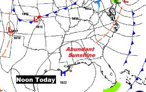
TODAY: A few pre-dawn clouds around, as I type this, will melt away. Sunshine will be dominate. Temperatures will be comfortable. High today around 61°. Low tonight 39. (Normal high 57, Low 36) West wind at 5 to 10 mph today.
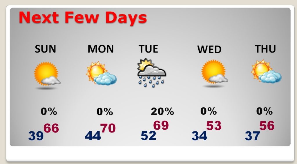
NEXT FEW DAYS: Lots of sunshine. Very mild through Tuesday. Highs well in the 60’s Sunday through Tuesday. A cold front will bring a slight chance of isolated showers Tuesday. Significantly cooler air will follow for the rest of the week. The next storm system will arrive the weekend of January 13/14.
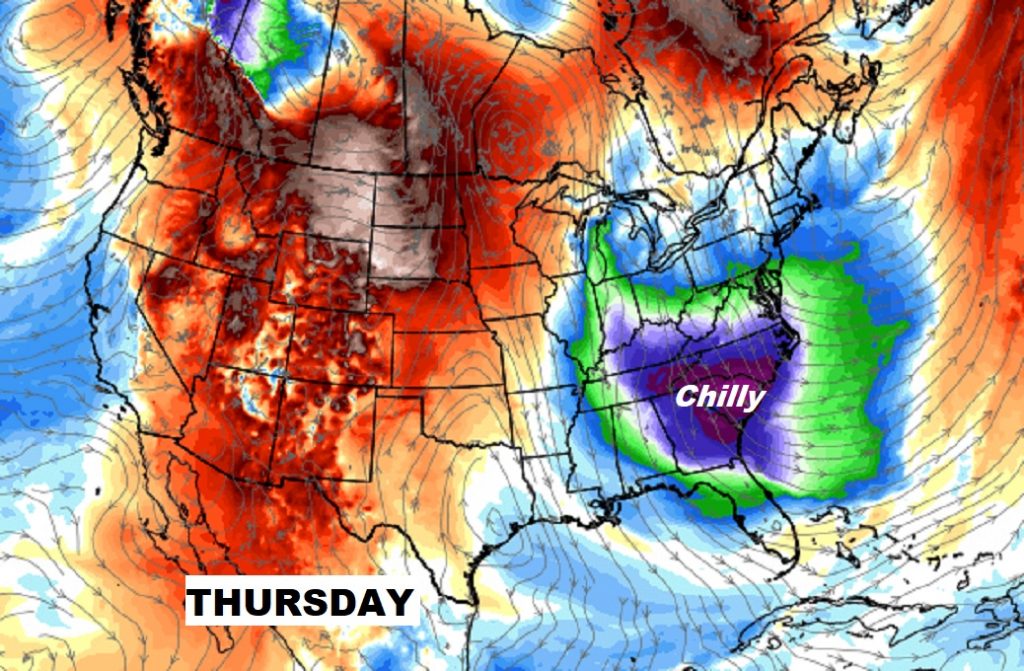
CHILLY SET-BACK NEXT WEEK, BUT…: Much cooler air will move in for the middle to later parts of the week, across much of the southeast. Highs may only reach the low 50’s by Thursday, with a morning low in the lower 30’s. But, this is not part of a large scale arctic outbreak. The arctic flood gates will stay closed for the next couple of weeks. The search for winter goes on. We know we’ll have to deal with a harsh dose of winter at some point, but not right away.
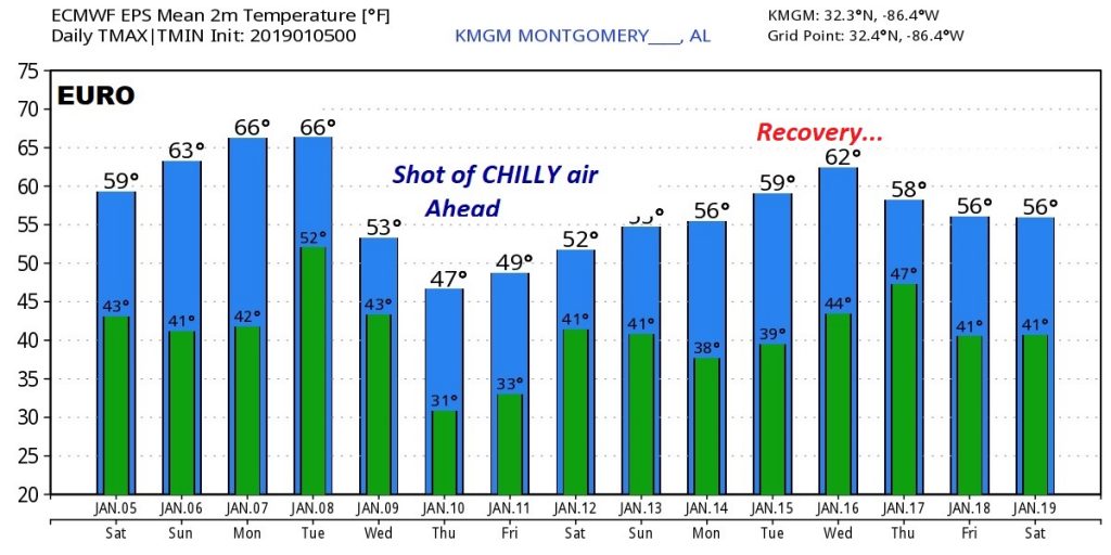
Here’s a look at some raw numbers from the EURO model out 15 days. Don’t focus on specific numbers, we’re only looking at the trend.
– –
Have a great Saturday! I’ll have another blog update early on Sunday morning. Enjoy this beautiful weather!
Rich