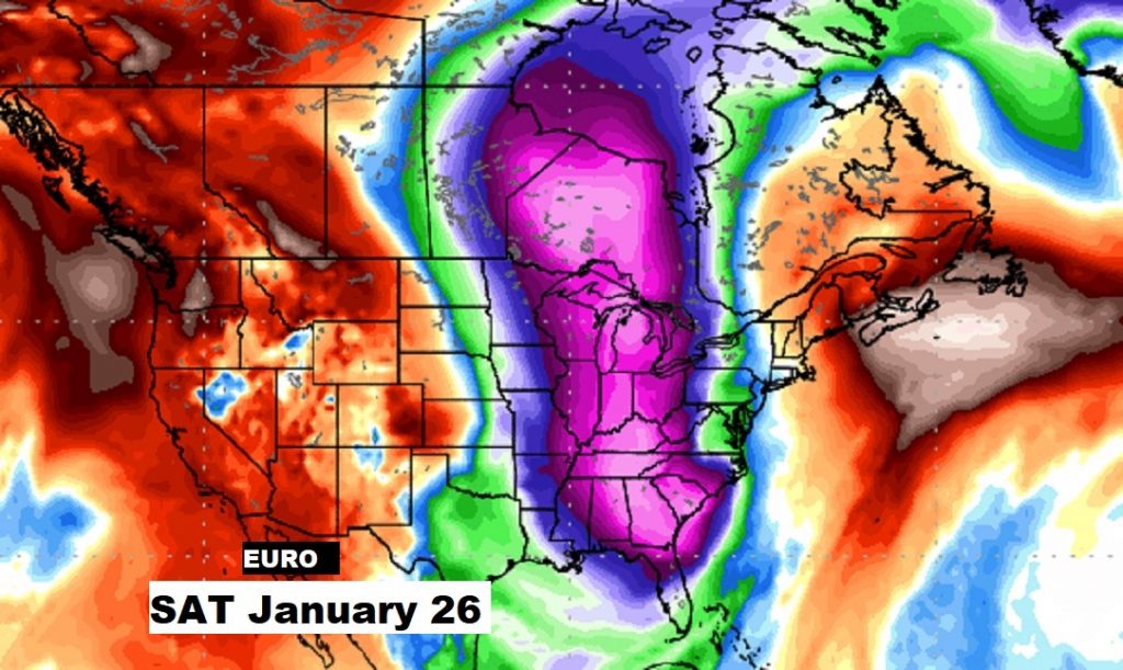
Get ready for another storm system which could affect a lot of Saturday plans. The Storm Prediction Center has raised the severe weather risk another notch. I’ll update you on the increased threat, and what to expect. I have an update on timing, with Future Radar. Plus – coats, hats and gloves ready? Sharply colder arctic is on the way, especially Sunday & Monday. And, that’s just part of a very active next 10 days. There’s yet another storm system, and more very cold arctic air in our future. I’ll cover it all on your Friday morning weather briefing.
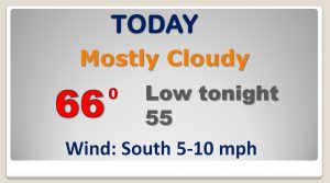
Quiet, mild day today. Rain chance under 20% Showers possible by late tonight.
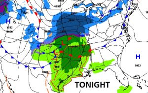
“Big Deal” storm system approaches tomorrow. Could be lines of stronger to possibly severe storms ahead of the front tomorrow afternoon into tomorrow evening.
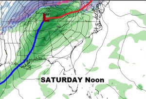
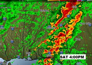
Main Severe Threat tomorrow from 10AM to 6PM. Damaging winds are the main threat, but a few tornadoes are possible.
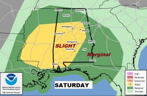
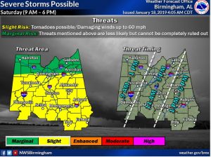
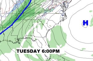
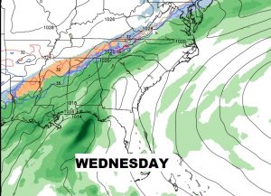
Much COLDER arctic air arrives Saturday night through Sunday. Windy and c older. Chilly Monday. Another storm system arrives Tuesday PM in through Wednesday.
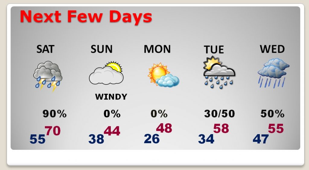
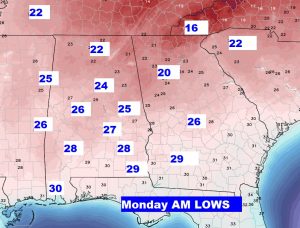
COLDEST morning still looks like Monday AM.
Another storm system Tuesday PM in through Wednesday.
Sharply colder again late next week. Another Arctic Blast, as the arctic flood gates open.
