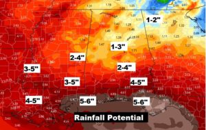
4:00PM UPDATE
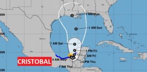
Cristobal, now over land, as a 50 mph Tropical Storm could weaken to a depression by tomorrow. He’s waiting for a bus ride, which won’t arrive until Friday. Expected to become a tropical storm again, Crisobal is destined for the northern Gulf Coast by Sunday evening/night
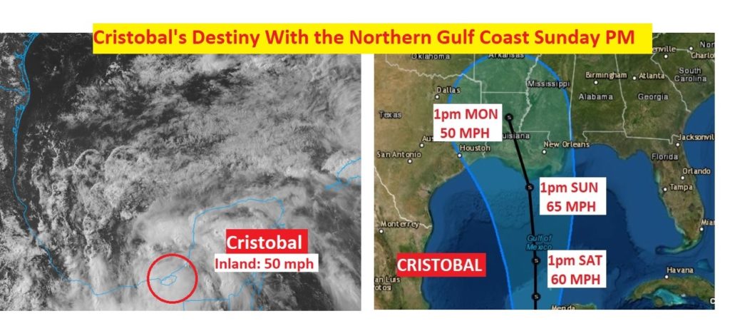
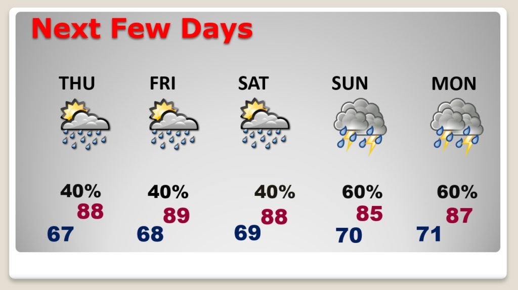
Good Morning! Random pop-up storms will be in more generous supply over the next days, through the end of the week. Meanwhile, Tropical Storm Cristobal’s future track could play an important role in the forecast details as we get into the weekend. Cristobal seems to be likely headed for an encounter with the northern Gulf Coast by this weekend. Alabama will be on the wet, active side of the track. What about the timeline? How much rain could fall? Will there be a tornado threat? I’ll show you the latest information from the National Hurricane Center as we track Cristobal from the Bay of Campeche and through the Gulf.
A weakness in the upper ridge of high pressure will lead to thunderstorms in more generous supply. They will be random, hit or miss storms, most numerous in the afternoon & evening.
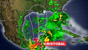
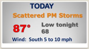
Random pop-up storms will be in gorgeous supply in the afternoon and evening hours through Saturday. The Sunday through Tuesday rain chances are subject to review and will probably go much higher due to Cristobal’s track.
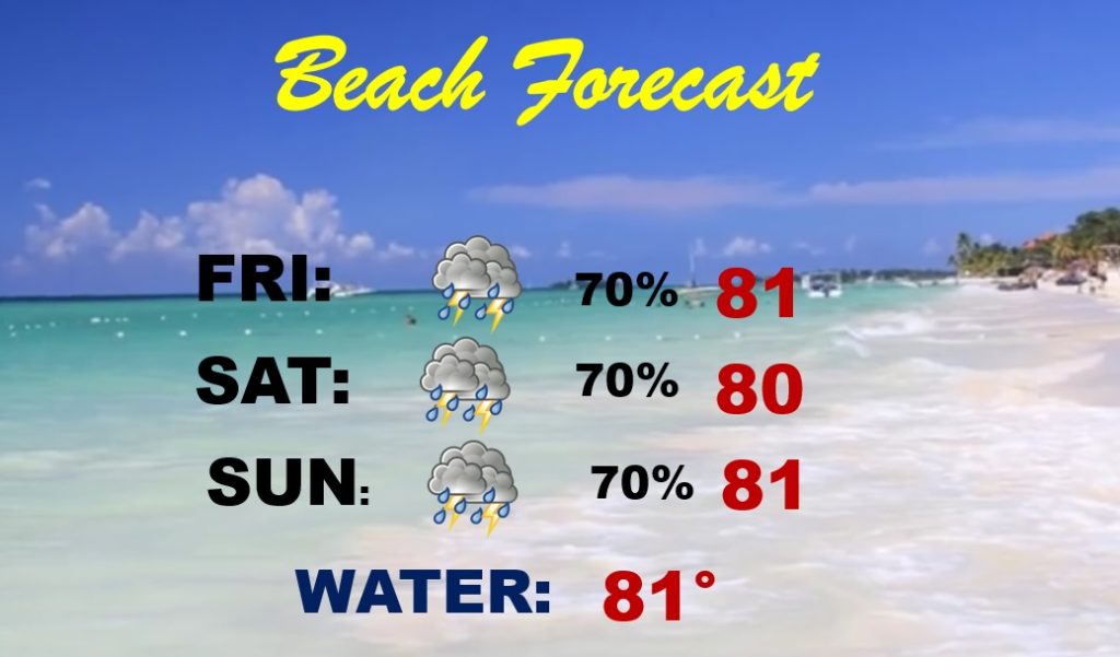
Obviously, this will NOT be a sunny, nice weekend at the beach. Tropical downpours will be widespread.
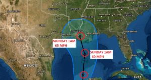
Latest 4AM Forecast Cone from NHC shows a stronger consensus that Cristobal will likely make landfall along he northern Gulf coast late Sunday night…probably as a strong Tropical Storms with 65 mph winds
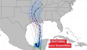
The EURO Ensemble members spaghetti models are now coming together in a closer array, spread out from about Galveston to New Orleans.
Alabama will be on the “wet” side of Cristobal’s Track. Rainfall amounts could be extensive in spots, especially closer to the coast.
Al