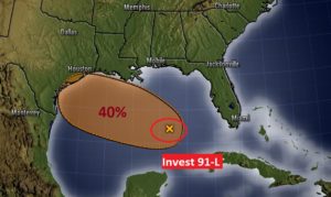
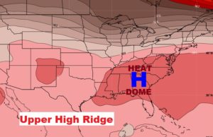
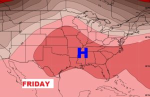
Good Morning! Here comes another day with intense heat, dangerous heat indices, and scattered random storms. That big Heat Dome, anchored across the south, will remain a part of our lives for several more days. It still appears there will be an uptick in number of storms by the weekend. I’ve adjusted the forecast for here & the Gulf coast. MEANWHILE, things are starting to get very interesting in the Tropics, and this may be just the start of a big surge in Tropical activity. I’ll track the tropics for you on this morning’s video.
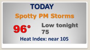
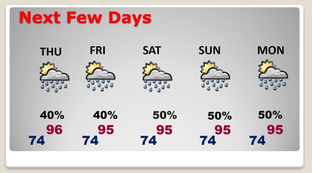
The upper heat dome remains in place and it will stick around for several more days. Today we’ll be the sixth day of 95+ degrees with triple digit heat indices.
Interesting to show how TWO different hi-res models depict the afternoon storm development. Vastly different ideas. The WRF shows an active seabreeze front moving from south to north today. The HRRR does not pick up on that idea.
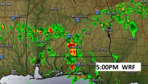
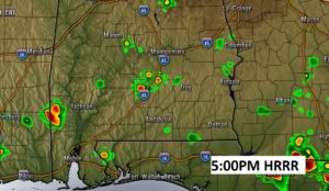
Persistent Heat, Humidity, and scattered storms. Triple digit heat index every day. Slight uptick rain chance by the weekend.
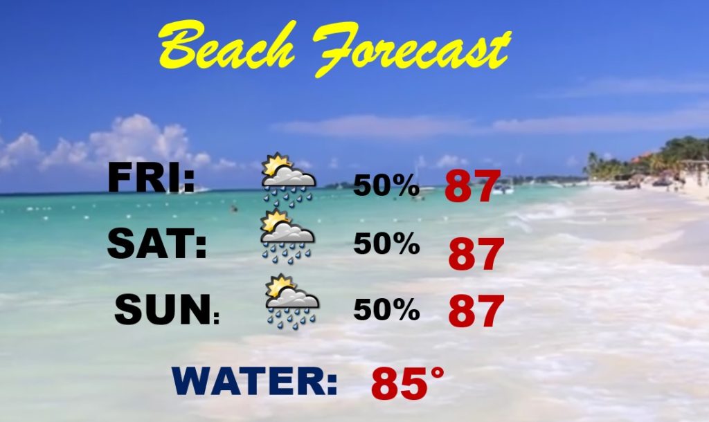
Generous supply of random storms roaming around this weekend on the coast. Just be flexible. It won’t rain all the time.
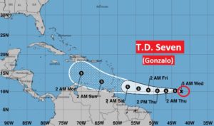
Tropical Depression Seven in the Tropical Atlantic is very close to Tropical Storm intensity. It will earn the name Gonzalo.
The other feature we’re tracking, in out backyard, is invest 91-L. It could become a depression before it reaches Texas by the weekend.
