EARLY MORNING UPDATE:
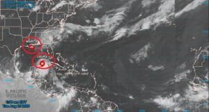
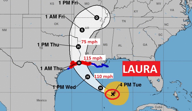
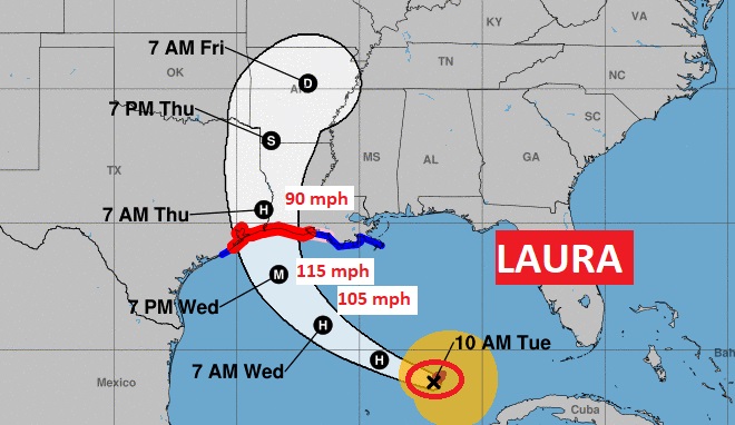
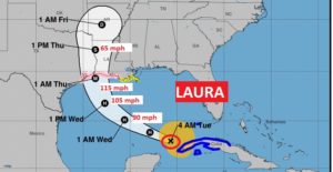
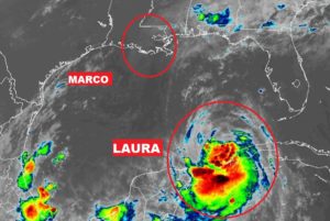
Good Morning! The drama is the Gulf of Mexico continues. Marco has fizzled, after dumping prolific rainfall amounts near the coast. Now, Laura takes center stage. It will become a Major Category 3 hurricane in the warm Gulf waters, as it targets the Northwestern Gulf Coast for a projected Wednesday night landfall. Laura has an interesting future after landfall, too. And, Laura will have an indirect effect on our weather. I have adjusted our rain chance for the week ahead and through the weekend.
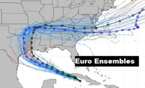
4AM Laura is a 65 mph Tropical Storm in the southern Gulf. Expected to become a Hurricane today, and make landfall as a MAJOR Category 3 Hurricane over the northwestern Gulf coast late Wednesday night or early Thursday morning.
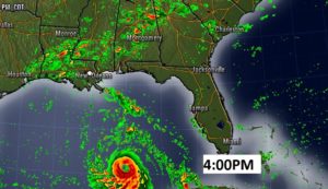
Showers will be widespread in the state today, associated with the leftover moisture from Marco.
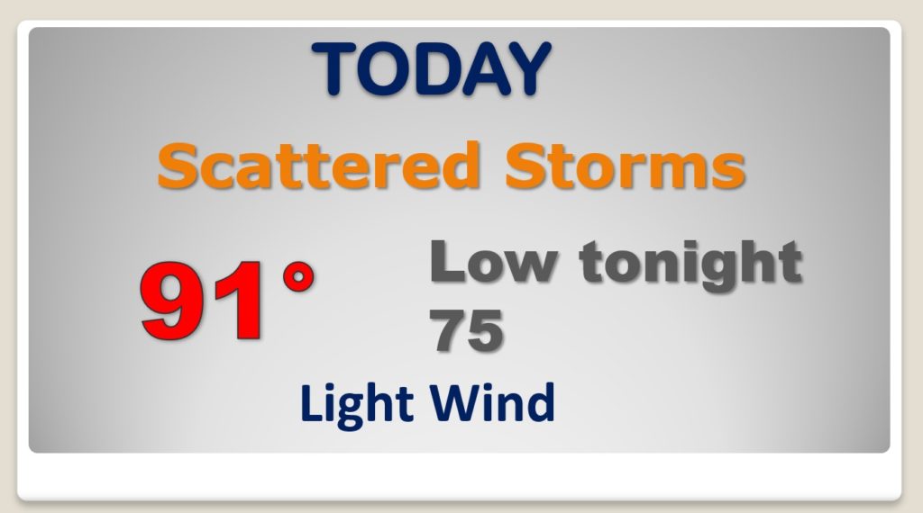
The “subsistence” or sinking air around Laura will lead to just a tiny rain chance for us Wednesday and Thursday. HOT Wednesday and Thursday. Scattered storms return Friday through Sunday. Weekend looks routine right now. Watching the future of track of Laura after landfall.

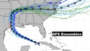
Laura has a VERY interesting late week Future. Watching the future track of Laura carefully…for obvious reasons.
The rest of the tropics are quiet now.