
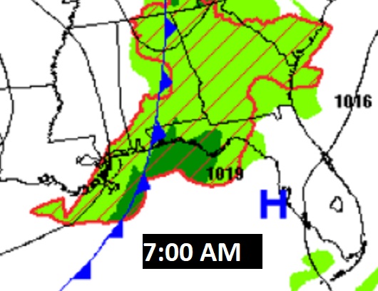
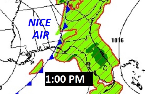
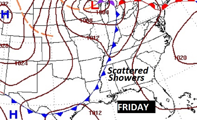
Good Morning! A frontal system is sweeping through our state today. There could be a few leftover showers this morning. Look for a nice improvement with sunshine by this afternoon. Expect some jacket weather nights tonight and Monday night. But, by mid-week, we should see an amazing warm-up as an upper ridge builds. Scattered showers return as a front approaches Friday. I think you are going to like most of the week ahead. No “big ticket” weather!
TODAY: Small Risk of some leftover showers mainly through mid- morning. Then the front moves through. Clouds give way to sunshine by this afternoon. High today 76. West winds at 5 to 15 mph. Clear skies, chilly tonight. Low 47.
NEXT FEW DAYS: We have a series of nice, storm-free days Monday through Thursday. Nice days, chilly nights. Expect upper 40’s on Monday and Tuesday AM. (Normal 79/52). Look for an amazing mid-week warm-up. Mid 80’s Wednesday. Upper 80’s Thursday. Scattered showers return as a front approaches Friday.
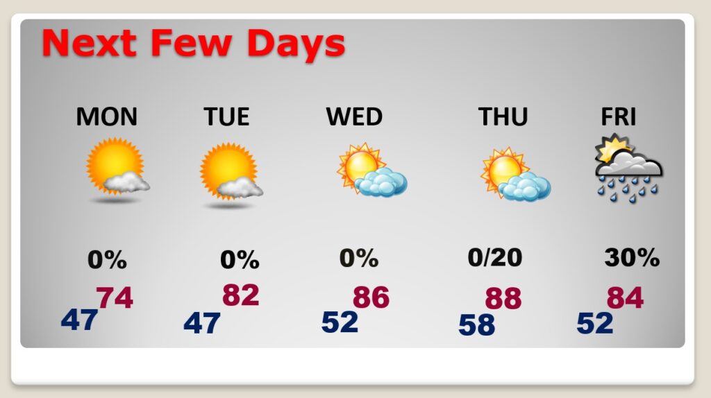
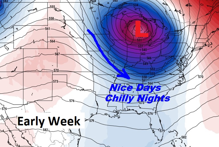
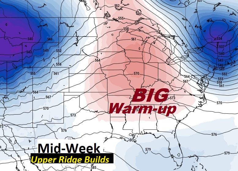
Expect some jacket weather nights tonight and Monday night. But, by mid-week, we should see an amazing warm-up as an upper ridge builds.
Scattered showers return as a front approaches Friday.
Thanks for reading this Blog this morning! I’m back in Montgomery now after my trip to the National Tropical Weather Conference. Hope you chance to see my LIVE coverage from the conference Friday morning on WAKA CBS 8 and ABC 32.


There will be another update for you in the morning. Have a nice weekend!
–Rich