
Good Morning! Unlike last week, it’s smooth sailing this week. No storm systems, no rain through Saturday. Today will be sunny and slightly warmer. A weak front will sweep through the state tonight. Northeast Alabama could see a few brief showers with this front. For the rest of us it’s a “dry” front. Wednesday will breezy and be a few degrees cooler. The warmer days will be Friday & Saturday as the mercury heads for the middle 60’s. Next chance of rain will be on Sunday, possibly arriving as early as Saturday night. Here’s my brief forecast discussion.
TODAY: Sunny and a little milder. High 61. Daytime winds SW 6 to 12 mph. Increasing clouds, breezy tonight. Low 41. North winds 10 to 15 gusting to 20 mph.
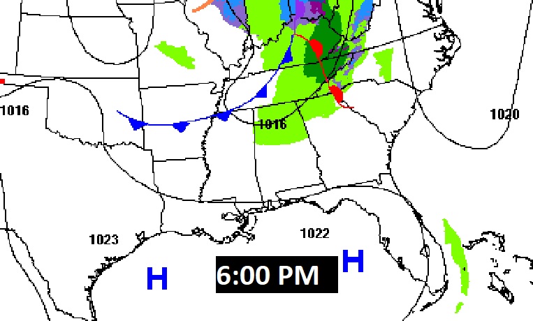
A weak front will sweep through the state tonight. Northeast Alabama could see a few brief showers with this front.
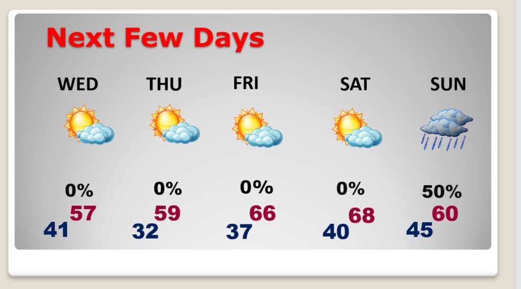
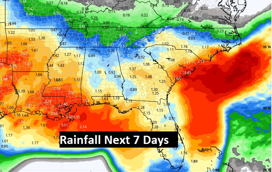
NEXT FEW DAYS: This week will be dry and storm-free through Saturday, as January ends and February begins. Temperatures will fluctuate a little bit up and down. We’ll be near the freeze mark Thursday morning. Warmer Friday and Saturday as the mercury recovers to the mid 60’s. That’s a bit above normal. Next chance of rain will be on Sunday, possibly arriving as early as Saturday night.
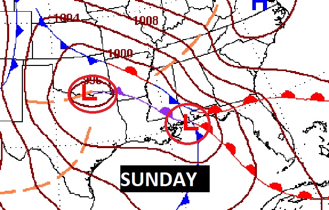
Risk of rain could arrive as early as Saturday night. Sunday looks wet.
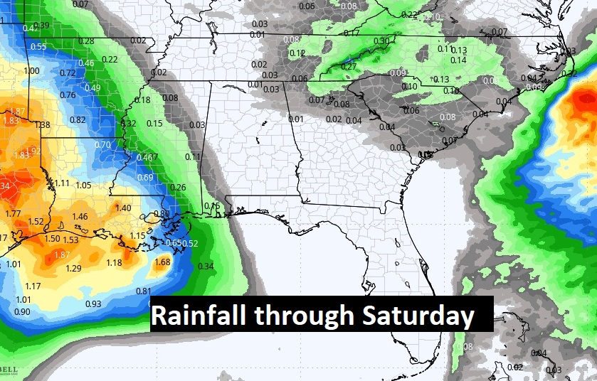
Expected rainfall this week. In our area, dry as a bone through Saturday. Next chance of rain Sunday.
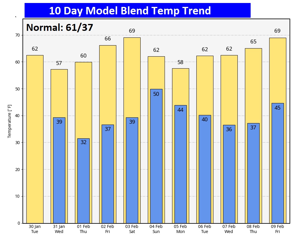
Here’s the 10 day Model Blend Temperature trend. Nice warming Friday and Saturday. No Arctic air. In fact looking way out 16 days (through February 13th), I still don’t see any Arctic Air.
This morning everything is normal including Live on the radio 6 to 9AM on NewsTalk 93.1 WACV. There will be another Blog update in the morning. –Rich