Good Morning! This week will be very different than last week. Gone are the warm Spring-like temperatures. But, also gone is the relentless rain, which totaled 3 to 5”+ over much of the area. This week – not a drop. Bone dry. It will be cool, but not Arctic Cold. We’re headed close to the freeze mark over the next two nights. But, even though the 70+ temperatures are gone, the week ahead will actually be not too far from normal. (Normal 61/37) Next chance of rain will be on Sunday. Here’s my brief forecast discussion.
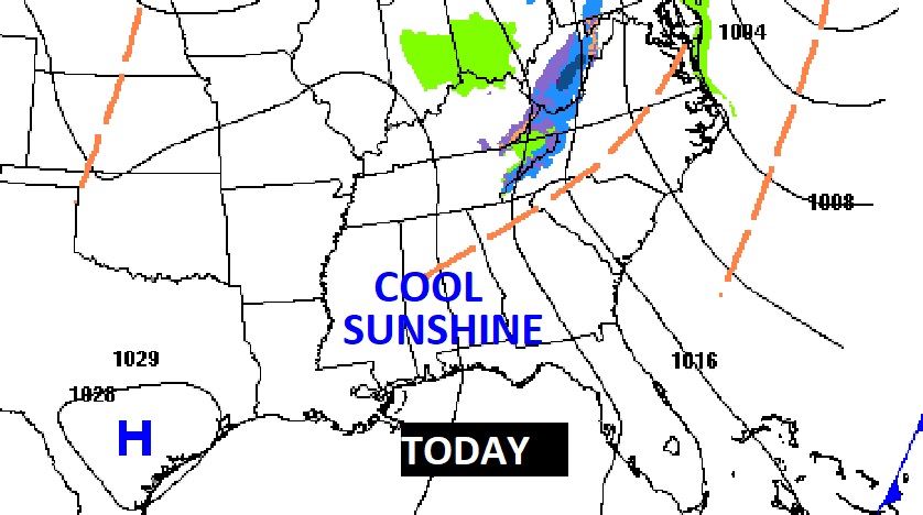
TODAY: Breezy and cool. High 56. Cloudiness early in the day, will give way to sunshine. Northwest wind 7 to 13 mph. Mostly clear and cold tonight. Low 31.
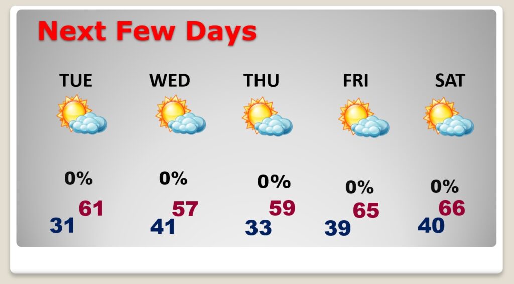
NEXT FEW DAYS: This week will be dry and storm-free through Saturday. Temperatures will be much cooler than last week, but no Arctic air. Temperatures will fluctuate a little bit up and down. We’ll be near the freeze mark a couple of mornings. Warmer Friday and Saturday as the mercury recovers to the mid 60’s. That’s a bit above normal. All in all not a bad week in The Dead of Winer.
A northwesterly flow aloft up at 18,000 feet will bring a series of weak reinforcing “dry” cool fronts.

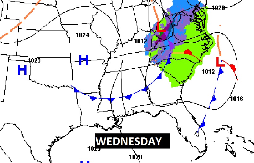
Expected rainfall this week. In our area, dry as a bone through Saturday. Next chance of rain Sunday.

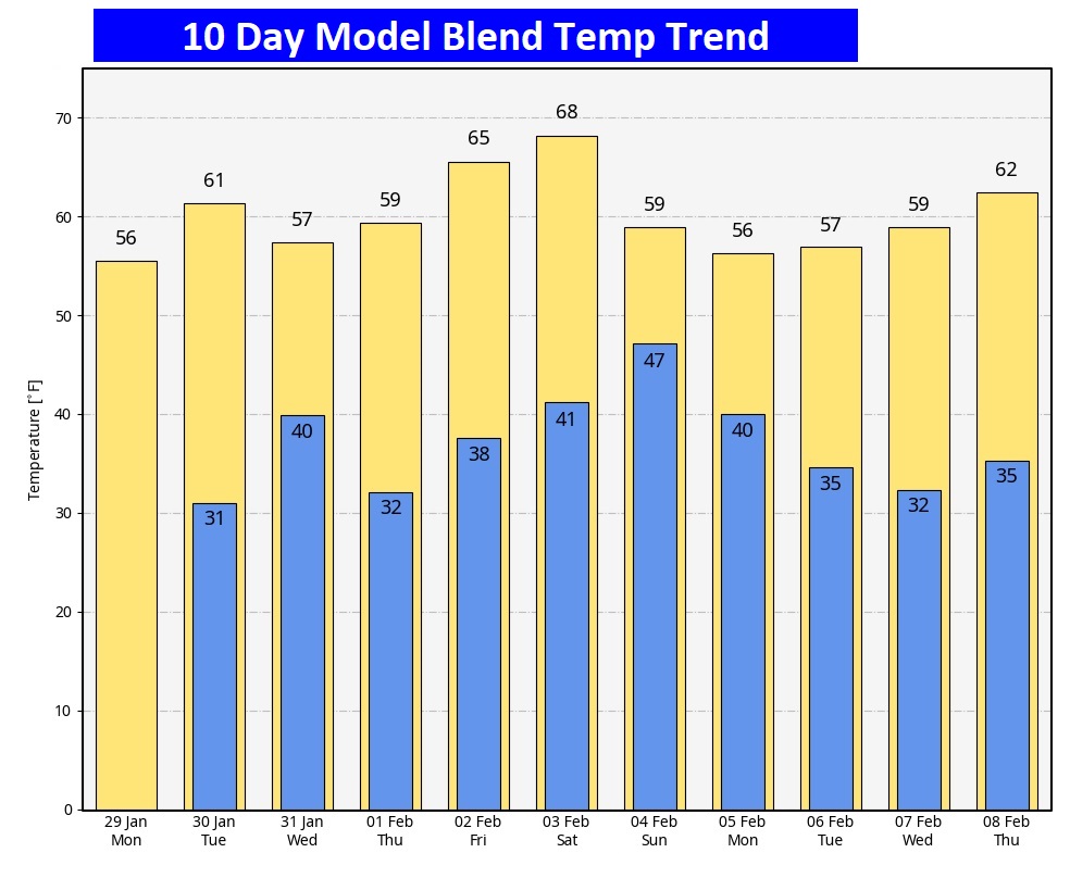
Here’s the 10 day Model Blend Temperature trend. Nice warming Friday and Saturday. No Arctic air. In fact looking way out 16 days, I still don’t see any arctic air. BUT, be on the lookout. Mid February through early March COULD include a HARSH Arctic Blast. Hope not. But, hang on….
This morning everything is normal including Live on the radio 6 to 9AM on NewsTalk 93.1 WACV. There will be another Blog update in the morning.
–Rich
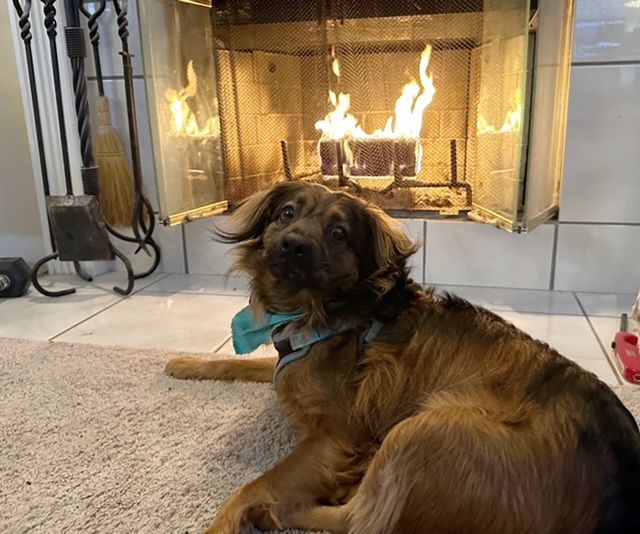
Chase enjoying the early morning fire…