Good Morning! The risk for more drenching rains from random slow-moving storms continues today. Outside of rain area, more intense heat on the weather menu with triple digit heat indices. A frontal system will affect the state starting tomorrow and through late week. I’ll tell you how that front could affect our rain chances. I’ll walk you through the week ahead and we’ll check the tropics, on your Monday morning personal weather briefing.
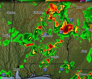
Here’s a radar snapshot from one model late this afternoon. More slow moving storms with torrential rainfall, more dangerous heat indices.


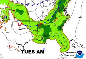
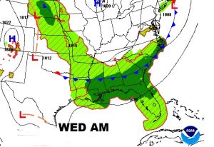
An approaching frontal system may actually increase the numbers of storms tomorrow as it heads toward central Alabama on Wednesday morning.


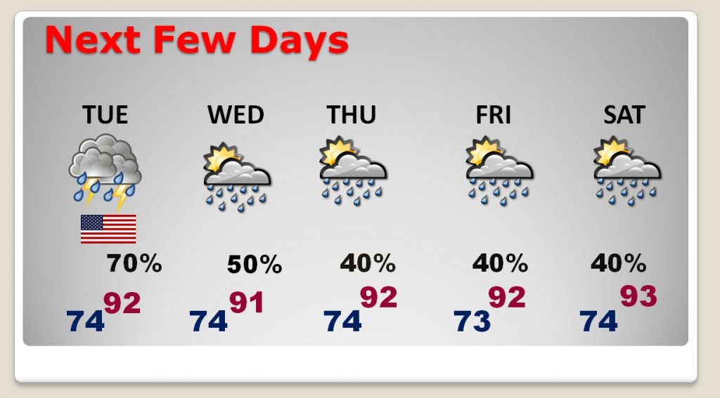
With the rain chances peaking on Tuesday, the number of storms may actually start to thin out a little but by late week.

The Dog days of Summer continue, but it has nothing to do with dogs. They were historically the period following the heliacal rising of the star Sirius, which Greek and Roman astrology connected with heat, drought, sudden thunderstorms, lethargy, fever, mad dogs, and bad luck. They are now taken to be the hottest, most uncomfortable part of summer.


