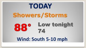
Good Morning! We have some pretty interesting stuff to talk about. An strong front for this time of the year. Showers and storm precede the front, but some ‘brief, nice relief’ will follow the front later in the week. It will be a nice change. On this video, I’ll bring you up to date on the details, with a faster time line, now. Plus, we’ll look ahead. How long with the ‘more tolerable’ air be around? We’ll take a peek ahead to next weekend.
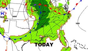
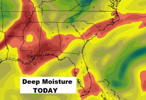
Strong frontal system approaches. Plenty of deep tropical moisture will lead to widespread showers and storms today.
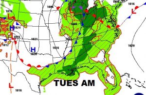
Tomorrow the front will enter the state in the morning and head southward, perhaps reaching the I-85 corridor by late afternoon or early in the evening. Drier air starts to move in Tuesday night.

Drier air takes over Tuesday night. We should be storm-free Wednesday and Thursday, along with slightly less humidity. Small shower threat returns Friday, and back to “routine” business as usual this coming weekend.
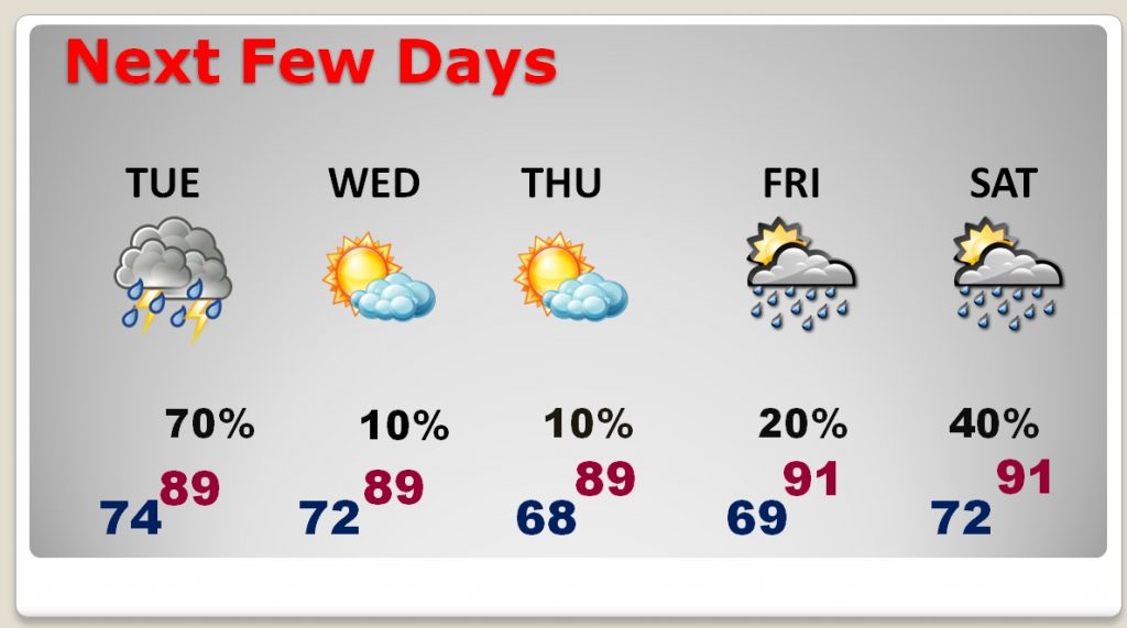
The nice thing will be a a little break from the extreme humidity. Those awful 70+ dewpoints will go away briefly. Wednesday night and Thursday will be the best. You will feel a difference.