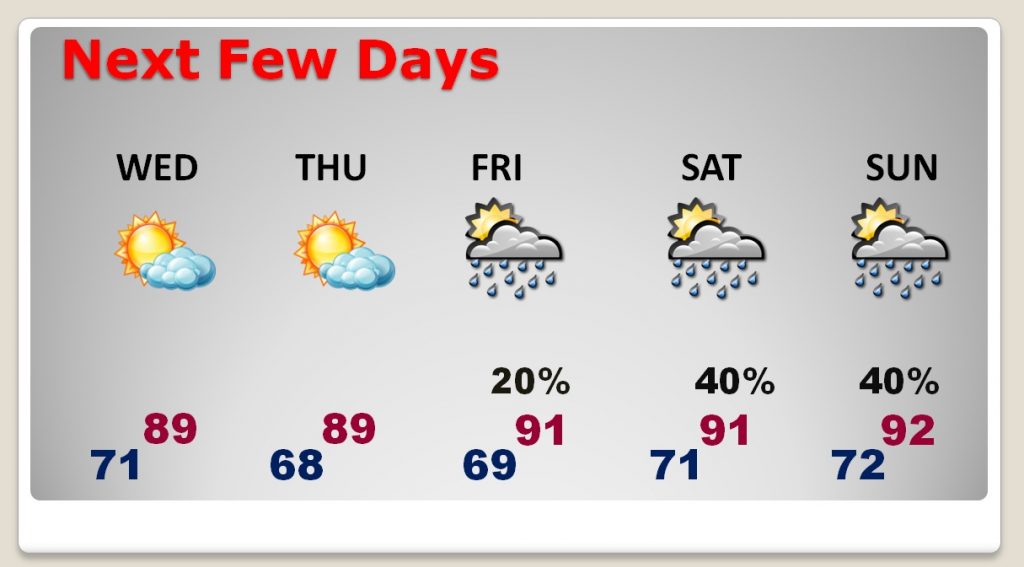
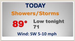
Good Morning! The big news involves a frontal system which enters the state this morning and makes it into southeast Alabama tonight. Once again today, showers and storms are expected ahead of the front. But, on this video, I’ll fill you in on the nicer air behind this front. How long will the ’Brief Nice Relief’ be around? I’ll walk you through the rest of the week, and we’ll look ahead to the return of business as usual over the weekend.
The front which will bring the relief enters NW Alabama this morning and makes it down into central Alabama by late afternoon or early evening. Showers and storms will be widespread ahead of the front.
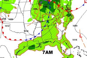
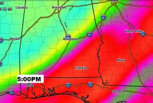
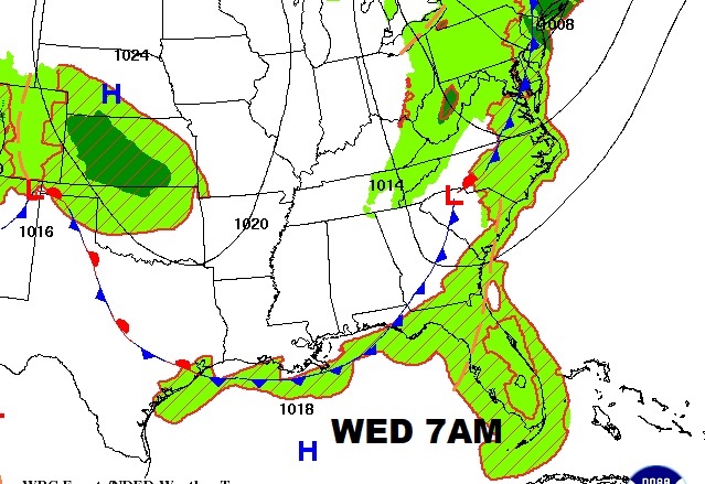
The front makes it down to the coast by Wednesday morning. Dewpoints will fall from the 70s today to the 60s tomorrow. You will feel a difference.
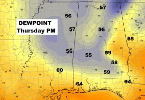
The models suggest the dewpoints could be lowest on Thursday afternoon/evening. If the dewpoints actually fall below 60, there will be dancing in the streets.
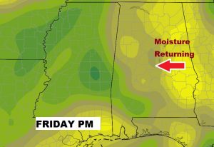
The “niceness” will start to fade Friday, as moisture returns from the east and a few showers start to pop up.
Two days without any rain chance is simply amazing in the summer. Enjoy Wednesday and Thursday. Shower chnaces creep back into the forecast Friday through Sunday and beyond.
