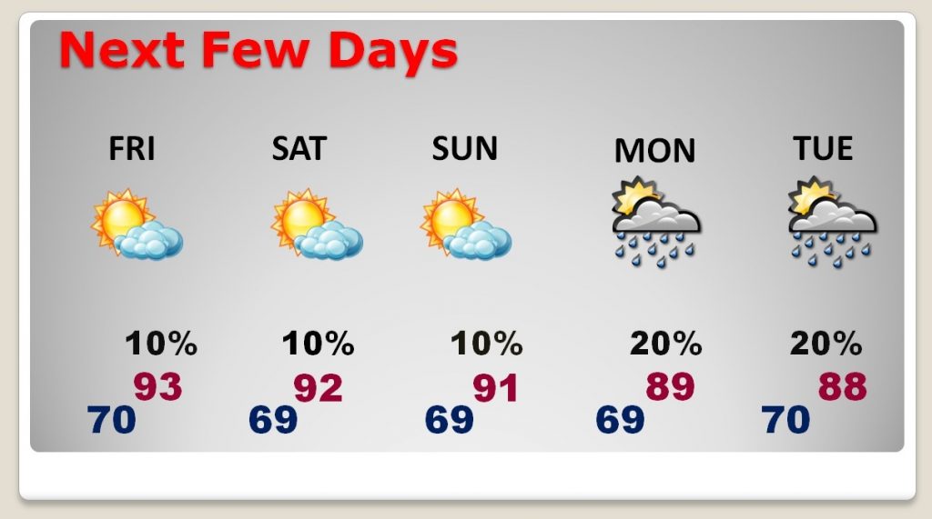
Good Morning! We have been in the low 90’s the last couple of days, and our string of hot dry days is not going to end anytime soon. Coming up, I’ll preview the weekend weather details, Could spotty showers return next week. We’ll look ahead. The models are now hinting at some distant relief. I’ll show you what we know. And, the future tropical scenario, as it applies to the Gulf of Mexico, is filled with interesting possibilities. We’ll look at the latest model trends.
Extended summertime rolls on today. Normal high is 82. We’ll be in the low 90’s and dry again today.
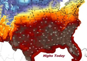
That big upper high will keep us high and dry and HOT through the weekend. Small rain chances begin to creep in around Monday and Tuesday.
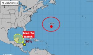
In the Tropics…NHC is highlighting an area to watch, currently in the west Caribbean. Tis the season when systems like this move into the Gulf.
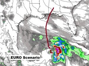
The European scenario over the next 7-10 days is interesting, as it carries this potential tropical system northward toward the central Gulf coast. We’ll be watching future model runs.
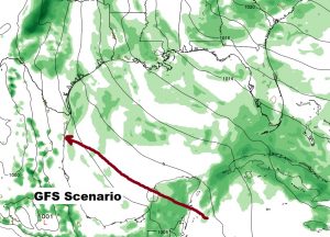
The GFS hasn’t really picked up on the system yet. It sends a weak system toward Mexico.,
