Good Morning! Today will be another unusually warm early May day. But, changes are ahead. The first of two cool fronts will slip into the state this evening and head southward. Widely scattered storms are possible. Wednesday and Thursday will be cooler. But, the most important cold front of the week arrives with more showers and storms by Friday night. This front has a brand of much cooler air. How much cooler are we talking? What kind of Mother’s Day Weekend can we expect? I’ll fill in the details, you on your Tuesday morning video update.
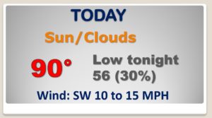
HOT again today, as we tease 90 degrees again. Scattered storms this evening as the front moves through.
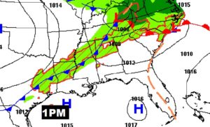
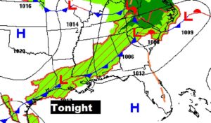
As the cool front sweeps through central and south Alabama this evening, scattered storms will visit a few towns.
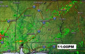
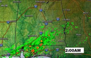
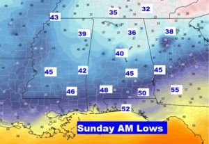
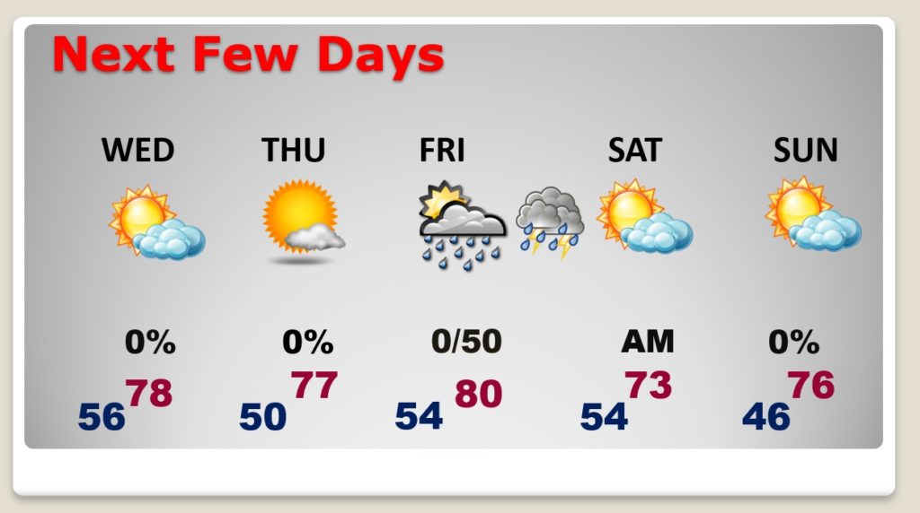
Couple of cooler but nice days Wednesday and Thursday with highs in the 70s. Chilly Thursday morning. Showers and thunderstorms Friday night with cold front numbers two. Breezy and cooler Saturday. COLD for May on Sunday morning.
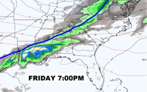
Important Cold Front brings in scattered showers and thunderstorms Friday night. The front reaches the coast by Saturday morning.
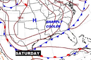
Usually strong cold surge sweeps into the US from the Canadian Arctic region by this weekend.
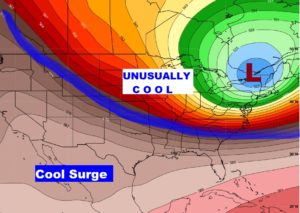
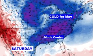
Unusually CHILLY Sunday morning at Dawn. 30’s in north Alabama with a late season frost. 40’s in central & south Alabama.
