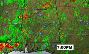
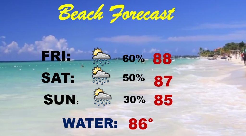
Happy Friday! It has been an active thunderstorm week, and today the radar will very active again. There will be some locally heavy downpours in spots. But, over the weekend, the storms will thin out in number. In fact, I have taken the rain chances down just a bit. Storms will become few and far between by Sunday. How long will that pattern last? In the tropics, we’re tracking Josephine and a new Invest along the Southeast US coastline.
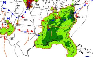
Storms will be active all afternoon, but here’s one Future Radar model snapshot which suggests another active evening ahead.
Notice how the number of storms decrease over the weekend. Storms become isolated by Sunday and Monday.
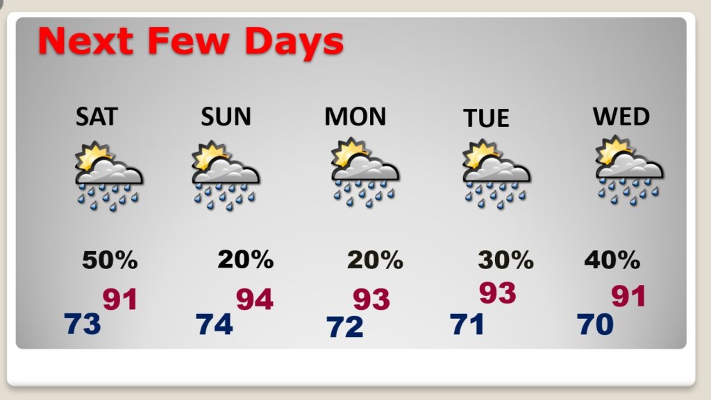
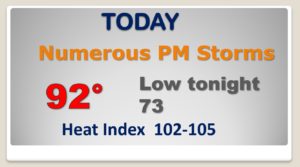
Good chance of showers and storms today, but not as many storms Saturday and storms become widely separated by Sunday.
Josephine is a minimal Tropical Storm which will curve into the Atlantic and become just a depression.
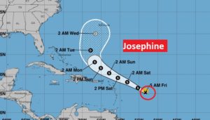
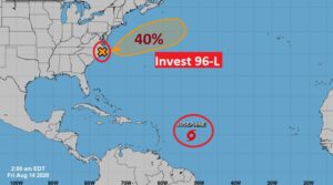
It’s not just Josephine in the tropics. We have a new homegrown system, Invest 96-L. This system has a medium chance of developing into a depression or tropical storms as it heads for the open Atlantic.