
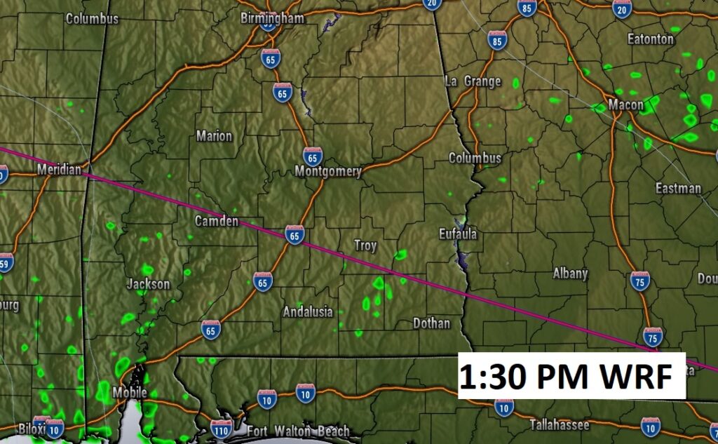
Good Morning! Our better than normal weekend weather continues. Like yesterday, the humidity won’t be too bad compared to normal. Afternoon Dewpoints will fall to the mid and upper 60’s. That’s not great, but compared to what we’re used to…it’s not bad. We should stay dry. A weak frontal boundary is stretched across south Alabama. Any widely scattered showers today will be along and south of that boundary.
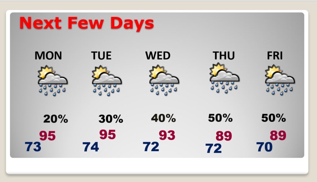
Widely scattered storms return to the forecast Monday & Tuesday. Mainly isolated. Highs in the mid 90’s early in the week. Storms will become more numerous Wednesday through Friday.
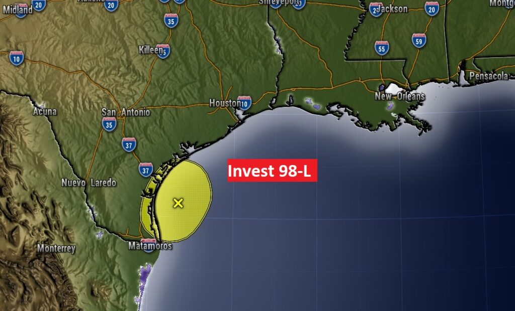
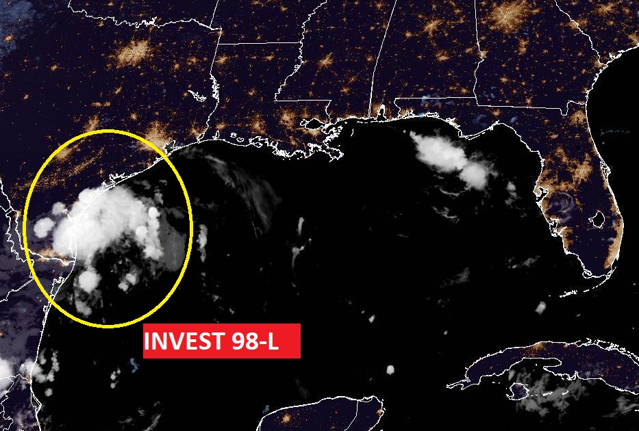
In the western Gulf … Invest 98-L is bringing heavy rain to coastal Texas. The rest of the tropics are quiet this morning.
CLIMATE DATA: Yesterday’s high in Montgomery was 93. Morning low 74. Normal High/Low 94 and 72. Rainfall: 0.00. Sunrise at 610 AM, Sunset 7:00.
TODAY: Lots of sunshine. High mid 90’s. Like yesterday, the humidity won’t be too bad compared to normal. We should stay dry. Clear to partly cloudy tonight. Low tonight 73.
A weak frontal boundary is stretched across south Alabama. Aby widely scattered showers today will be along and south of that boundary.
NEXT FEW DAYS: Widely scattered storms return to the forecast Monday & Tuesday. Mainly isolated. Highs in the mid 90’s early in the week. Storms will become more numerous Wednesday through Friday. Lows in the low 70’s. Not quite as hot by Thursday & Friday.
In the western Gulf … Invest 98-L is bringing heavy rain to coastal Texas. The rest of the tropics are quiet this morning.
—
I’ll have another Blog update in the morning. Have a nice weekend!
–Rich