
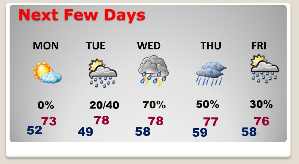
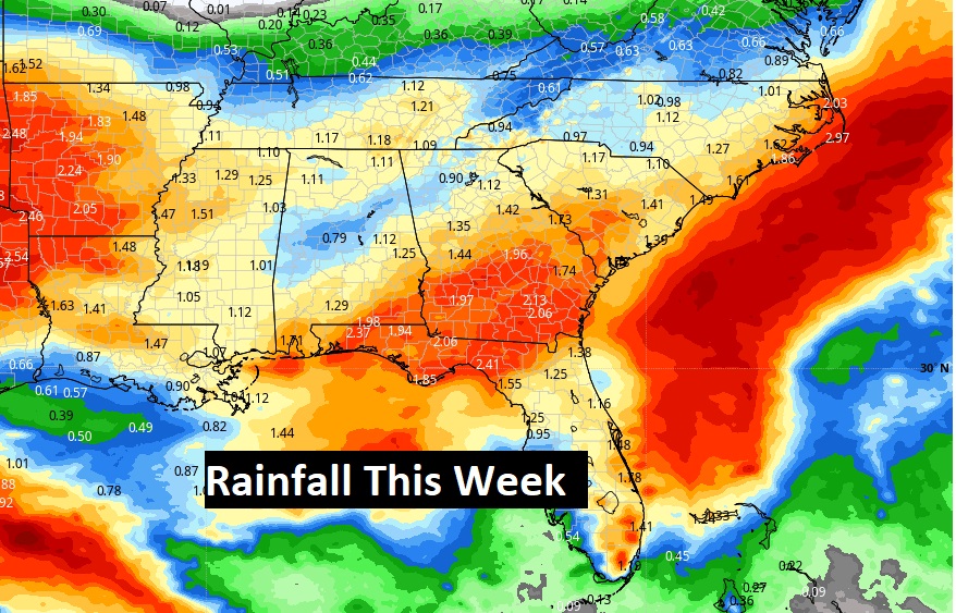
Good Morning! We’ve had a pretty nice weekend so far. Today will be comfortable with a sun and cloud mix. An isolated shower is possible tonight. Our best chance of dry weather this week will be Monday. The week ahead will be unsettled as a series of disturbances move through the Gulf South. Wet at times Tuesday through Friday. Does not look like we’ll have any severe weather. Highs in the 70’s. Finally, sunshine will return Saturday.
CLIMATE DATA: Yesterday we had morning low of 52, and a afternoon high of 77. (Normal 80/54) No rain.
TODAY: Pretty nice day. Sun/cloud mix. Comfortable. High 77. North wind 10 to 15 mph. Mostly cloudy tonight. Isolated shower? Low 52.
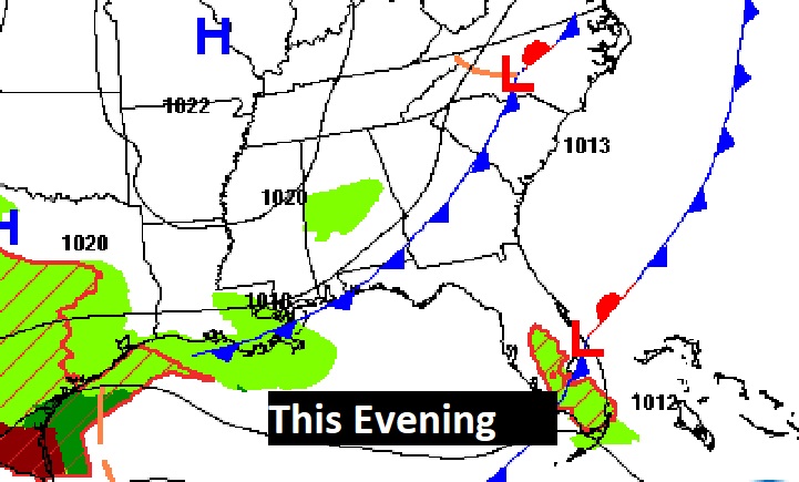
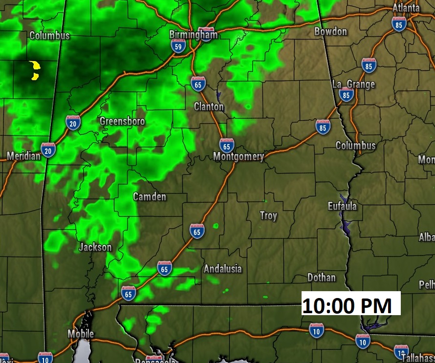
A disturbance drifts through this evening and tonight. An isolated shower can’t be ruled out. Most towns will stay dry.
NEXT FEW DAYS: Limited sunshine Monday, but dry.. High in the low to Mid 70’s. Risk of showers return by Tuesday afternoon. Scattered showers and thunderstorms Tuesday night and Wednesday. Highs in the 70’s. Risk of leftover showers Thursday and Friday. Saturday looks dry.
Wet at times this week.
Thanks for reading this Blog this morning! I’ll have another update for you in the morning. Have a nice Sunday!
–Rich