
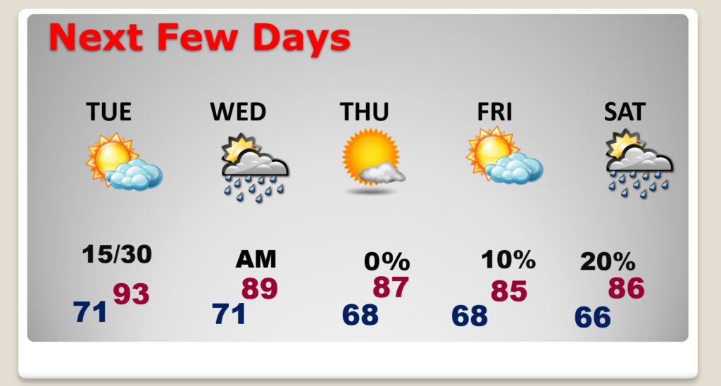
Good Morning! Today’s weather will not be different than yesterday. It will be hot with highs in the low to mid 90’s. But, humidity will not be crazy. Rain chances are not zero. I’ll put the rain chances at 20% or less today and Tuesday. Perhaps slightly better Tuesday night and early Wednesday as a frontal system moves southward. That front will deliver more reasonable temperatures Thursday and Friday with highs in the 80’s. There are no tropical concerns for us, but NHC is still tracking 4 features, including Major Hurricane Lee. Lee could still cause future problems for the US Northeast Coast. I have the latest potential future tracks. Very interesting potential future, indeed. Here’s a brief forecast discussion.
TODAY: Mostly sunny. A hotter day. Humidity not crazy. High near 93. Rain chance generally 20% or less but not zero. Light wind. Partly cloudy tonight. Low near 71.
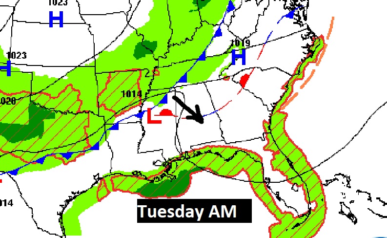
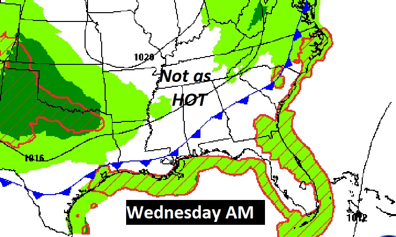
An approaching weekend front could touch off a few isolated showers especially on Tuesday and easrly Wednesday as it moves southward.
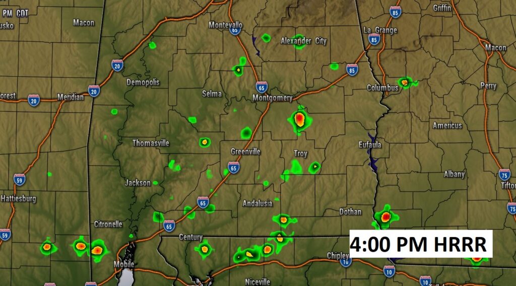
Future radar show extremely isolated storms could pop up this afternoon and this evening.
NEXT FEW DAYS: Lots of sunshine Tuesday. Small rain chance under 20%. Widely scattered storms Tuesday night into early Wednesday as a front moves through. Nicer air behind the front by Wednesday night and Thursday. Uneventful forecast. No tropical concerns for us.
TROPICAL UPDATE: Today is the statistical peak of the hurricane season.
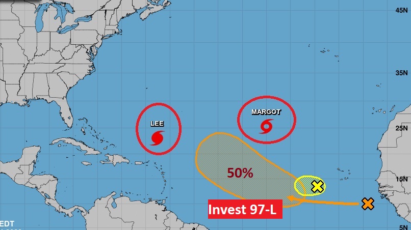
There are currently 4 features in the east Atlantic. Lee and Tropical Storm Margot. Plus, there’s Invest 97-L and an Area to Watch
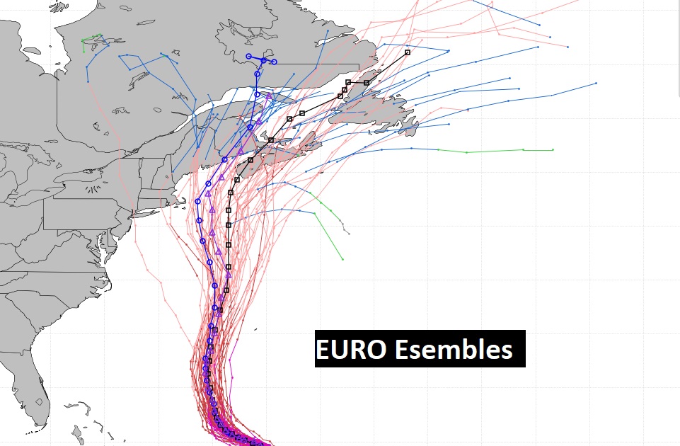
Hurricane Lee is a major Category 3 Hurricane with 120 mph winds. It has slowed down dramatically. Look at the expected movement through Thursday. See how close the dots are together. It will be taking a swing to the north. We’ll be talking about Lee for several more days as it churns through the Atlantic. It’s exact impact on Bermuda and the eastern coast of the United States is still not completely known. Atlantic Canada could someday take a direct hit.
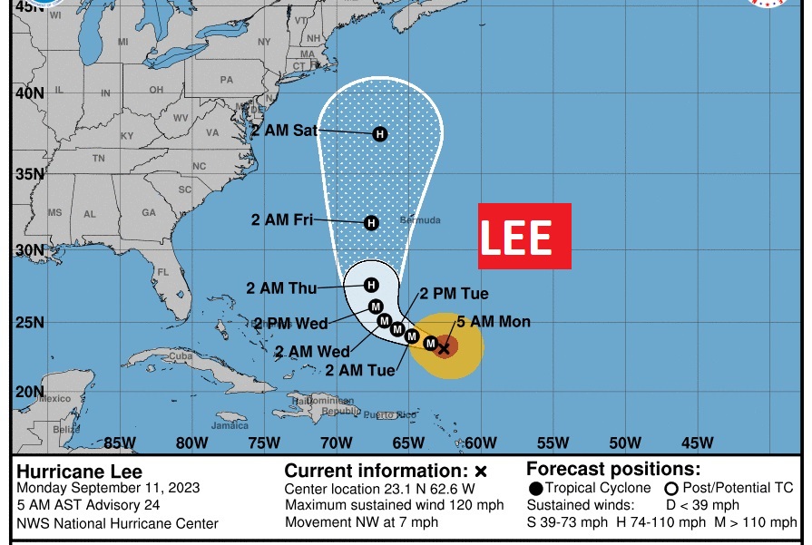
The direct danger for the eastern U.S. Coastline late next week has certainly not ended, as you can see. The Atlantic Canada and Bermuda is still in trouble.
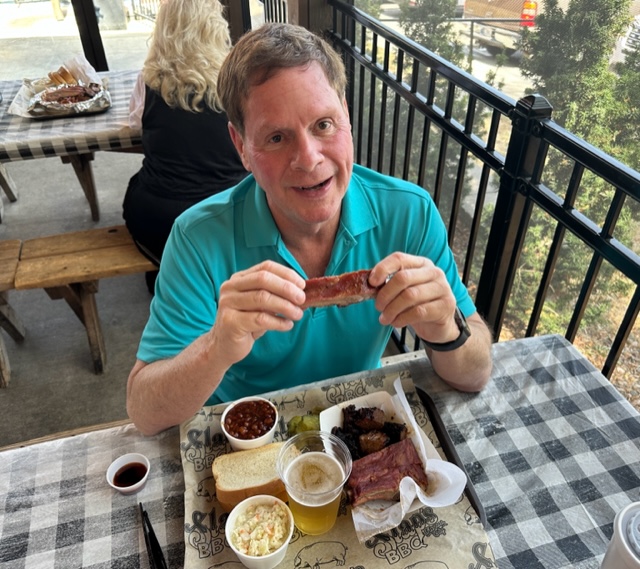
I’m still here in Kansas City at the National Weather Association Conference.
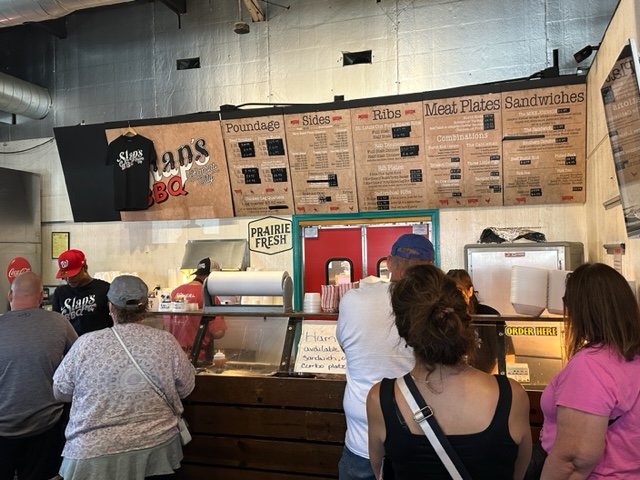
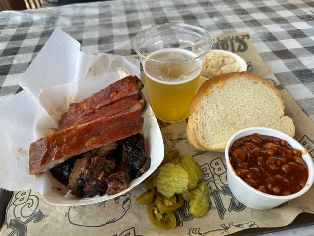
Kansas City Adventures in BBQ
Day Two: The world famous SLAP’s BBQ. Joe’s is supposed to be the most famous, but I don’t know. It’s a close call! Sure beats the box lunch at the Weather conference! Unfortunately, after KC, all of my future BBQ experiences elsewhere will be ruined, I’m afraid.
But, I will have another update for you in the morning. I will post randomly on X (Twitter) at times. Have a nice day!
–Rich