
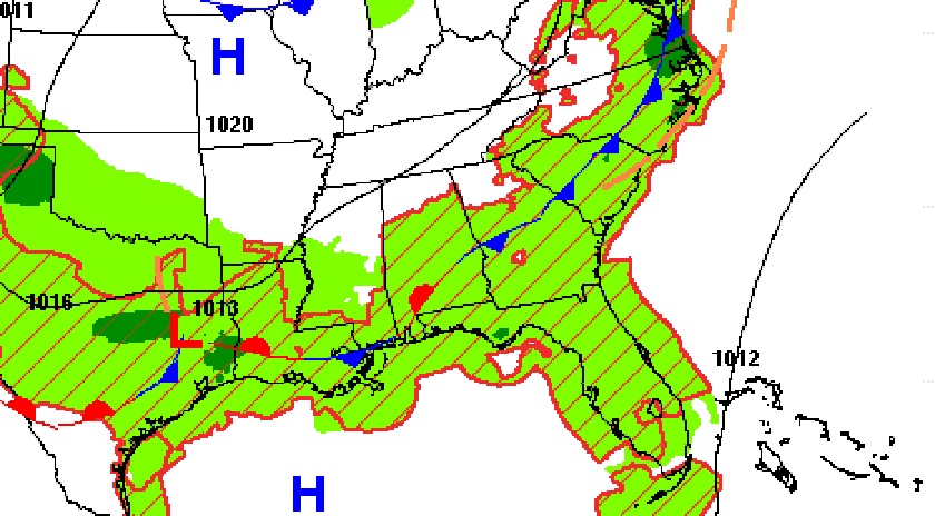
Good Morning! The forecast has been tweaked just a bit from what I told you yesterday. For instance, I have talked the rain chances just a bit higher today, closer to 40%. We have a front in the state which will act as the focus. The better chance of showers/storms will be in the east half of the state. Although the rain chances are lower on Thursday, I had to increase the probability Friday and Saturday. Especially Saturday. Be prepared to alter your outdoor plans at times. The best news is, highs will stay below 90 Thursday through Monday. The Tropics continue to be active. All Eyes on Lee, threatening New England this weekend. Here’s a brief forecast discussion.
TODAY: We have a front draped across the state. That’ll be the focus for more scattered random storms. A sun/ cloud mix. High near 89-91. Light wind. Storms most numerous in the afternoon & evening hours. Partly cloudy, risk of showers tonight. Low near 69.
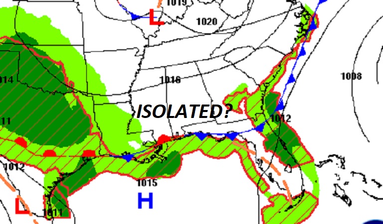
The front in the state today will move closer to the coast on Thursday. Not as many storms around tomorrow.
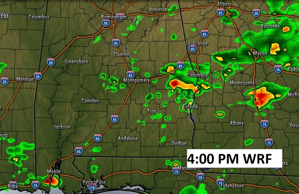
Future radar shows the best chance of showers in the eastern half of the state this afternoon and this evening.
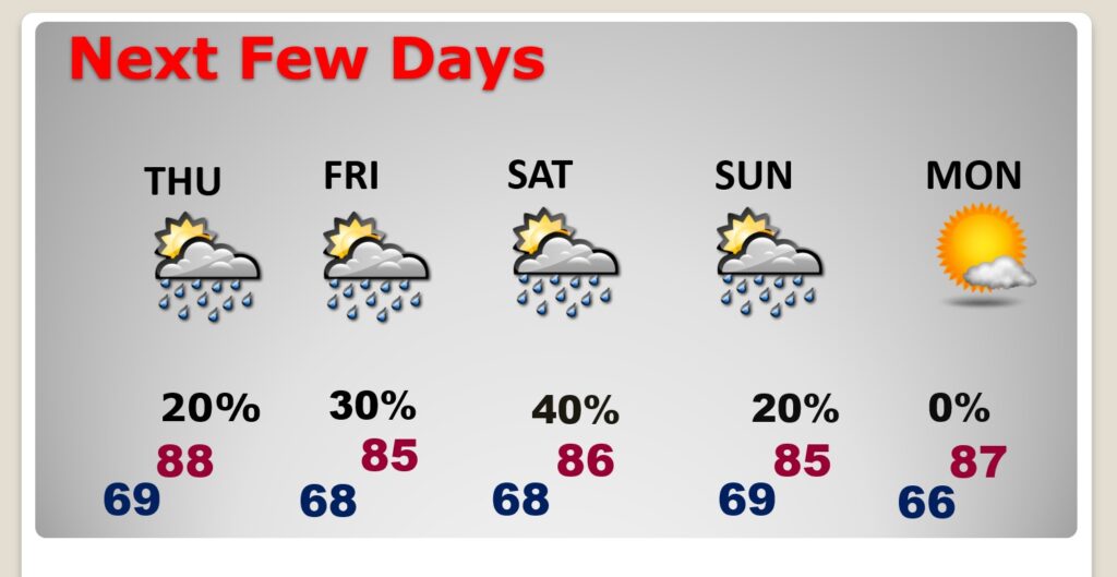
NEXT FEW DAYS: The best news is, it looks like we will stay below 90 degrees Thursday through Monday. Highs in the 80’s are an improvement. I had to bump up the rain chance a little Friday. In fact the chances are a tad higher, Saturday. Be prepared for scattered showers and thunderstorms. Storms will be widely scattered Sunday. Monday looks dry. Low at night in the 60’s.
TROPICAL UPDATE: There are currently 3 features in the east Atlantic. Lee and Tropical Storm Margot. Plus, there’s Invest 97-L.
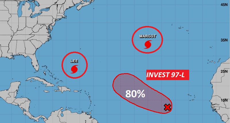
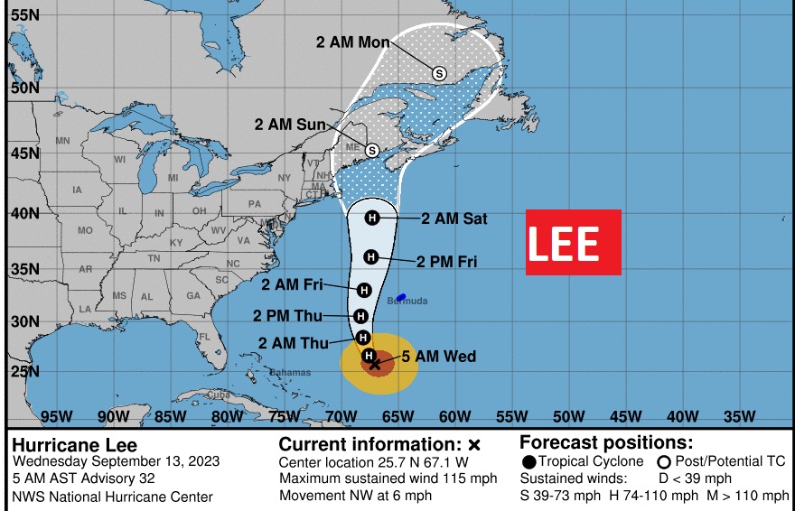
Hurricane Lee is a major Category 3 Hurricane with 115 mph winds. It has slowed down. It’s moving NW at 6. Take a look at the shifting cone. Now much of New E gland and Atlantic Canada is included. It’s now out of the question that Lee makes landfall somewhere in the New En glad over the weekend, probably as a Tropical Storm. All eyes on Lee.
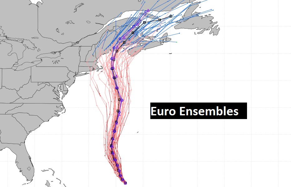
The Euro Ensembles continue to increase the New England threat.
I’ll have another update in the morning . In fact, everything will be back to normal tomorrow, including back Live in the studio. Have a nice day.
–Rich