
Good Morning! We are enjoying and extended string over very nice pre-fall days, with tolerable humidity and comfortable nights. And it looks we will stay storm-free and dry through the weekend. Early next week, an approaching front could bring a few showers and perhaps a thunderstorm or two into the state. No tropical concerns for us in the Gulf south, right now. But, NHC is monitoring An interesting low that could become semi-tropical off the SE US coastline. Here’s my brief forecast discussion.
CLIMATE DATA: Yesterday, we had a morning low of 59, and an afternoon high of 87. Normal 66/89. Sunrise: 6:33 Sunset: 6:44. No rain.
TODAY: Abundant sunshine. Still, comfortable humidity. High in the upper 80’s too near 90. Light wind. Mainly clear and comfortably cool tonight. Low 65.
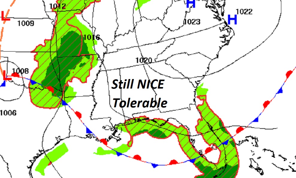
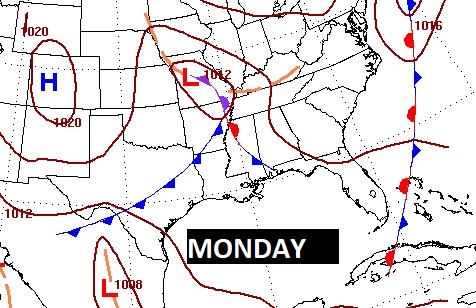
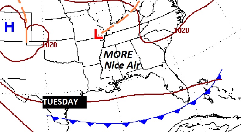
NEXT FEW DAYS: Our string of beautiful days continues. Mostly sunny through the weekend with highs in the upper 80’s and very tolerable humidity. Nights in the 60’s. Dry and storm free. Friday is the last official day of summer. Fall officially begins Saturday at 1:49 AM. The Autumnal Equinox. Small rain chance Monday & Tuesday.
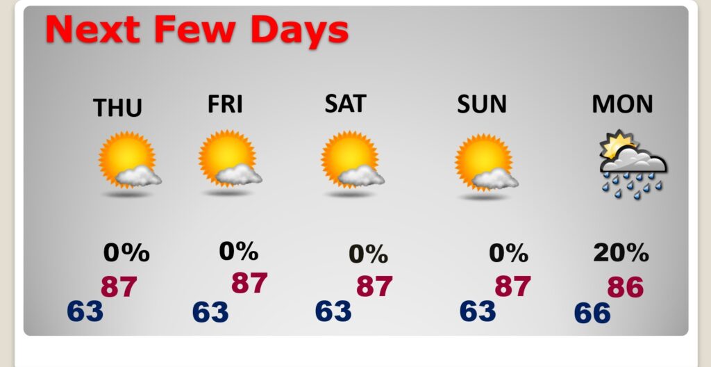
Early next week, a cool frontal system will approach. I’ll put in a small chance of showers in the Monday, Monday Night maybe Tuesday early. Then, get ready for more fresh air.
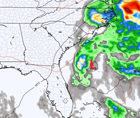
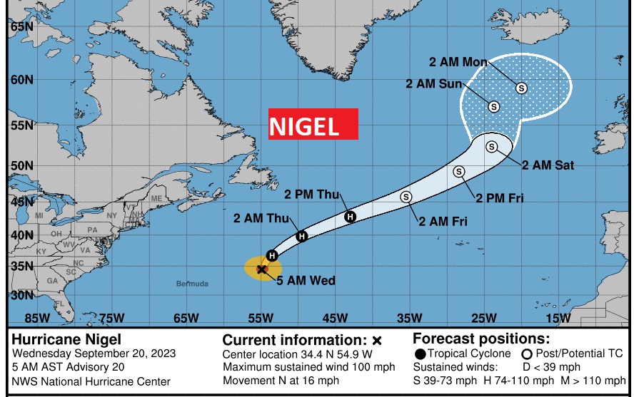
TROPICAL UPDATE: There are currently 3 features in the Atlantic, Including Hurricane Nigel. That Area to Watch off the SE US coast is worth noting. There’s also an Area to watch in the far east Atlantic. The next two available names are: Ophelia and Philippe. There are no tropical concerns in our part of the world.

That area near the NE coast of Florida is making for a nasty day along the Florida coast and a potentially nasty weekend along the eastern US coastline as it moves northward. The only question is…will I acquire some sub-tropical characteristics and the answer is MAYBE. Doesn’t matter. Wind, waves, winds, and strong thunderstorms will plague the coastal areas for a few days.
Hurricane Nigel is Cat 2 with 100 mph winds. It is a classic example of what’s called a ‘fish storm”. It will make the big curve into the Atlantic.
The GFS tries to bring something very disturbing into the Gulf in early October, but I have decided NOT to show you that image, only because it’s the GFS.
Thanks for reading this Blog this morning! I’ll have another update for you in the morning. Have a nice day!
–Rich